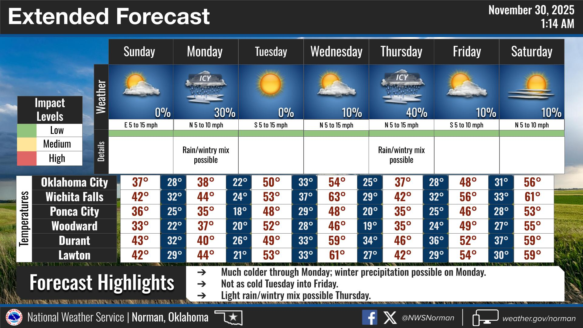
0315L-SUNDAY OUTLOOK FROM GARFIELD COUNTY EMERGENCY MANAGEMENT- 11/30/25
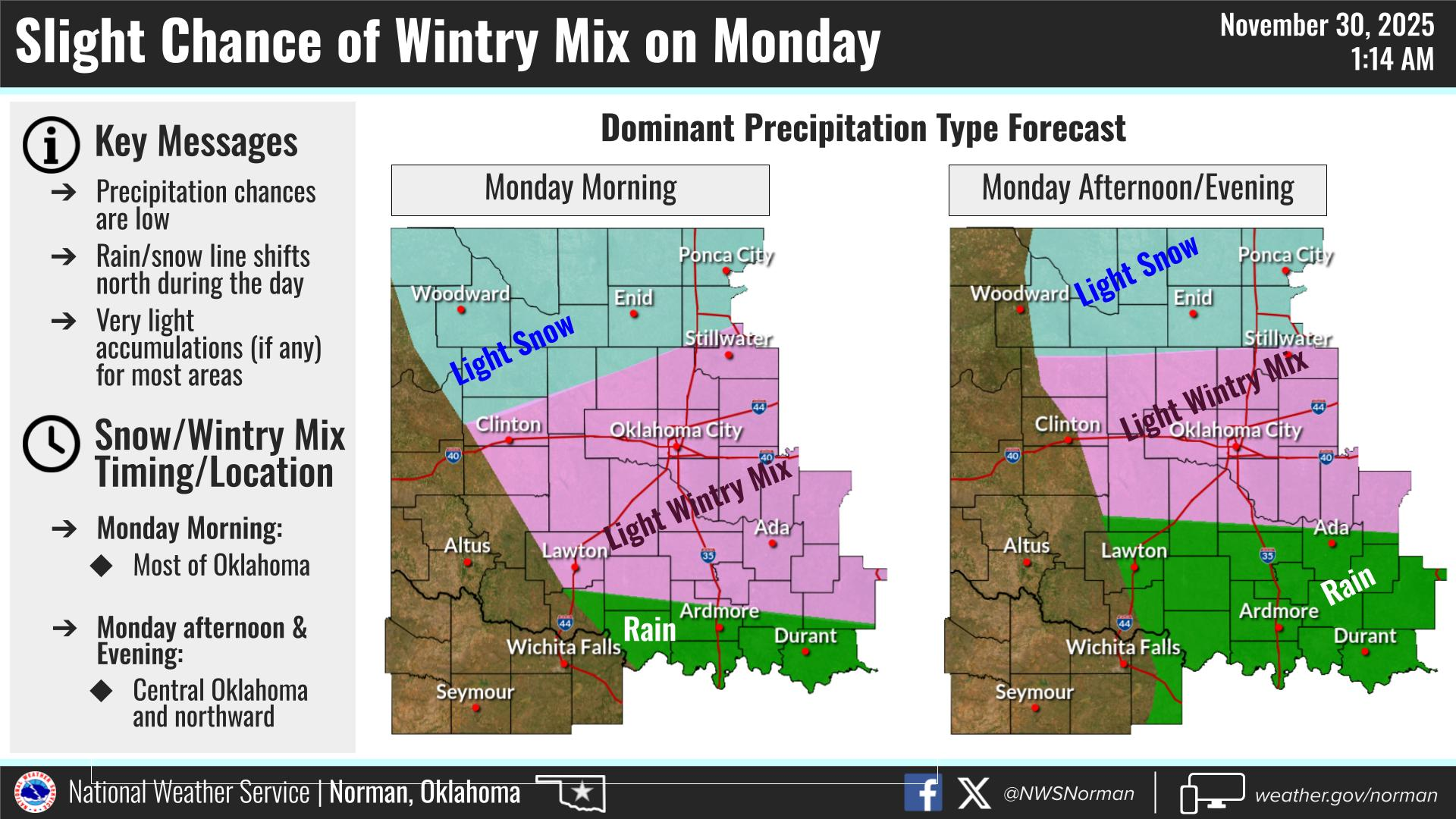
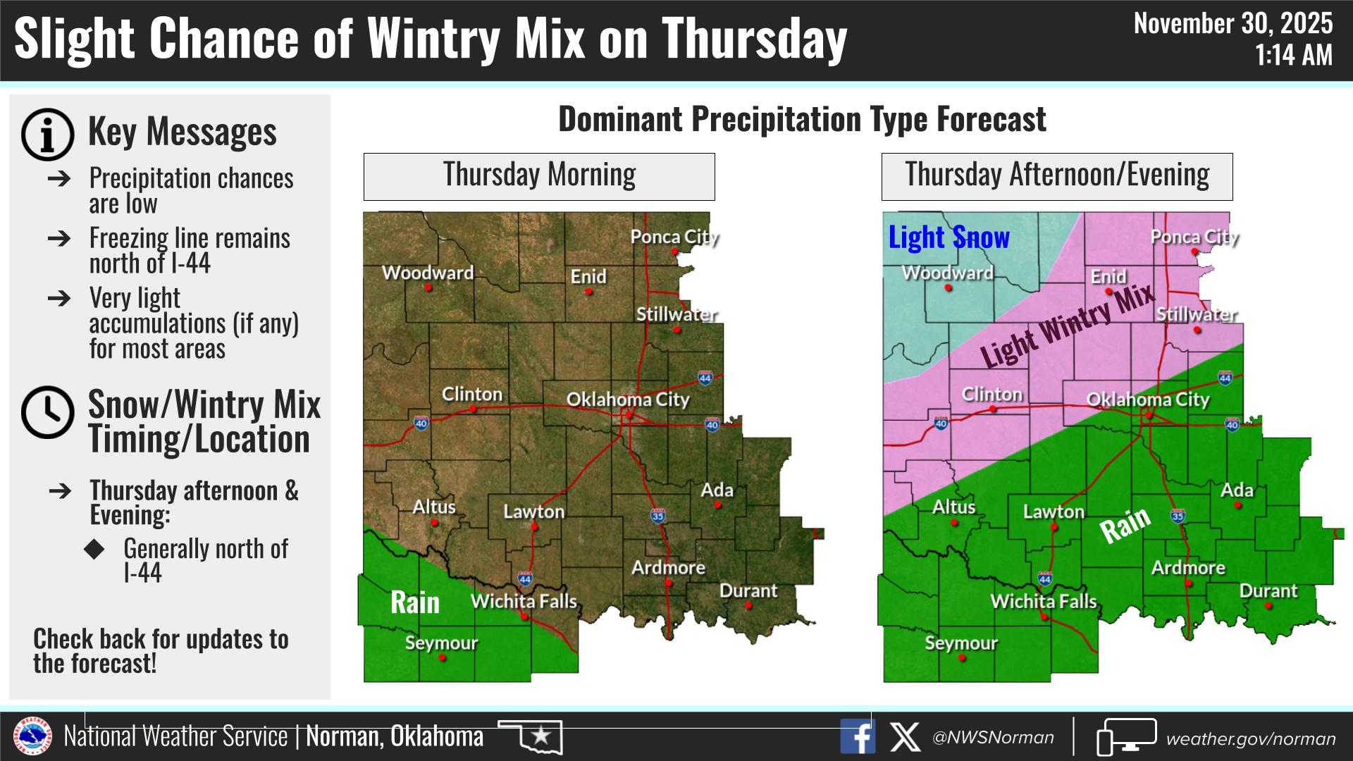
Chilly with highs in the 30s. We’ll start out clear but begin to cloud back up as a trough moves our way. There is a light snow possibility overnight tonight but those chances have dropped to 10% or so. After tonight, our next chance for snow would be Thursday into Friday. This said, storm track and moisture availability are the key issues that need to line up and both events don’t look real promising. We’ll have to wait and see what falls and move on from there. Either way, we’ll be cold so dress appropriately and stay warm.
Overall, we’ll be ok so here’s your forecast from the NWS/NORMAN:
Sunday- Partly sunny. Cooler with highs in the mid-30s. North winds around 10 mph.
Sunday Night- Mostly cloudy. Cold with lows in the mid-20s. East winds 5 to 10 mph.
GARFIELD COUNTY EM is our notification and preparedness app. If you don’t have it, you’re NOT prepared! REMEMBER that each day’s post appears under the GCEM Blog icon on the app.
HAVE A GOOD DAY!