WINTER WEATHER UPDATE FROM GARFIELD COUNTY EMERGENCY MANAGEMENT – 01/25/2026.
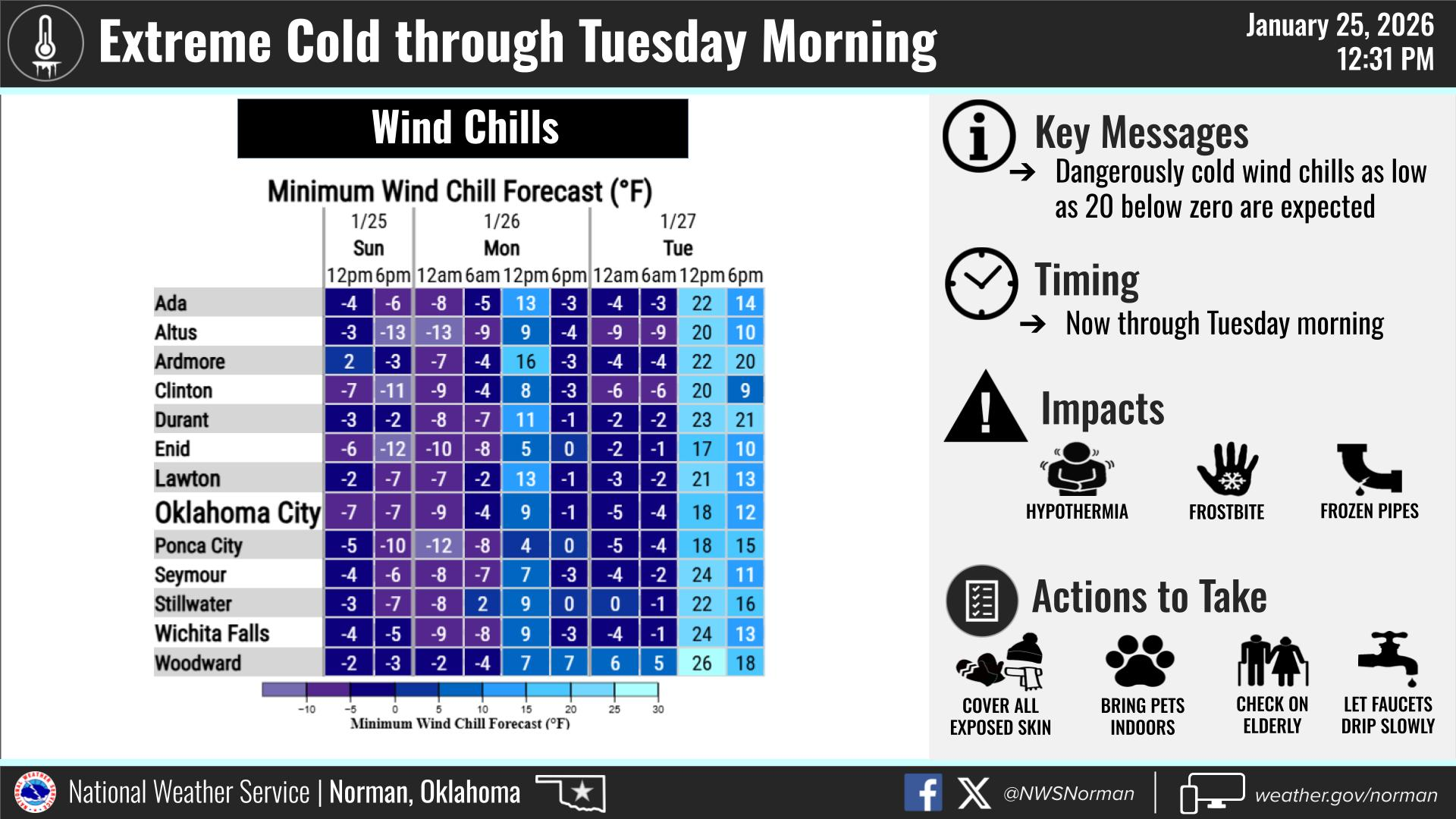
Extreme Cold Warning until January 26, 09:00 AM CST
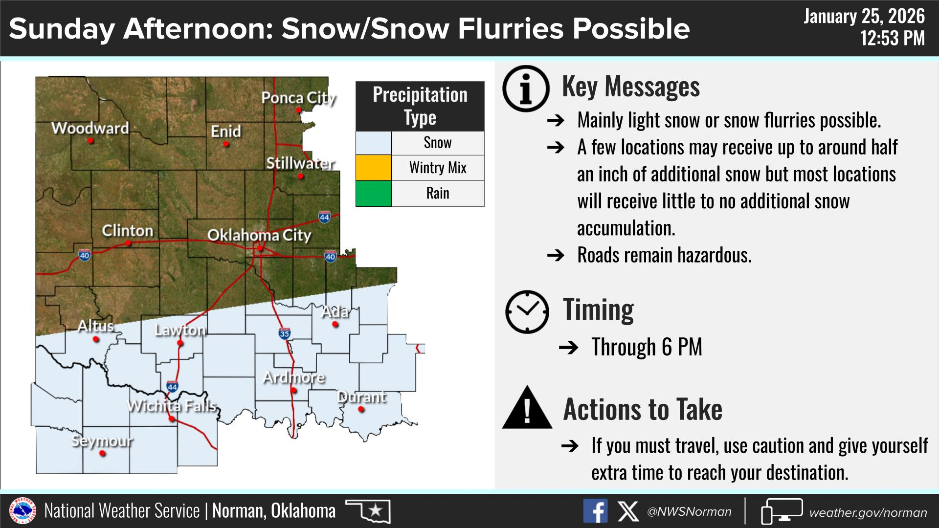
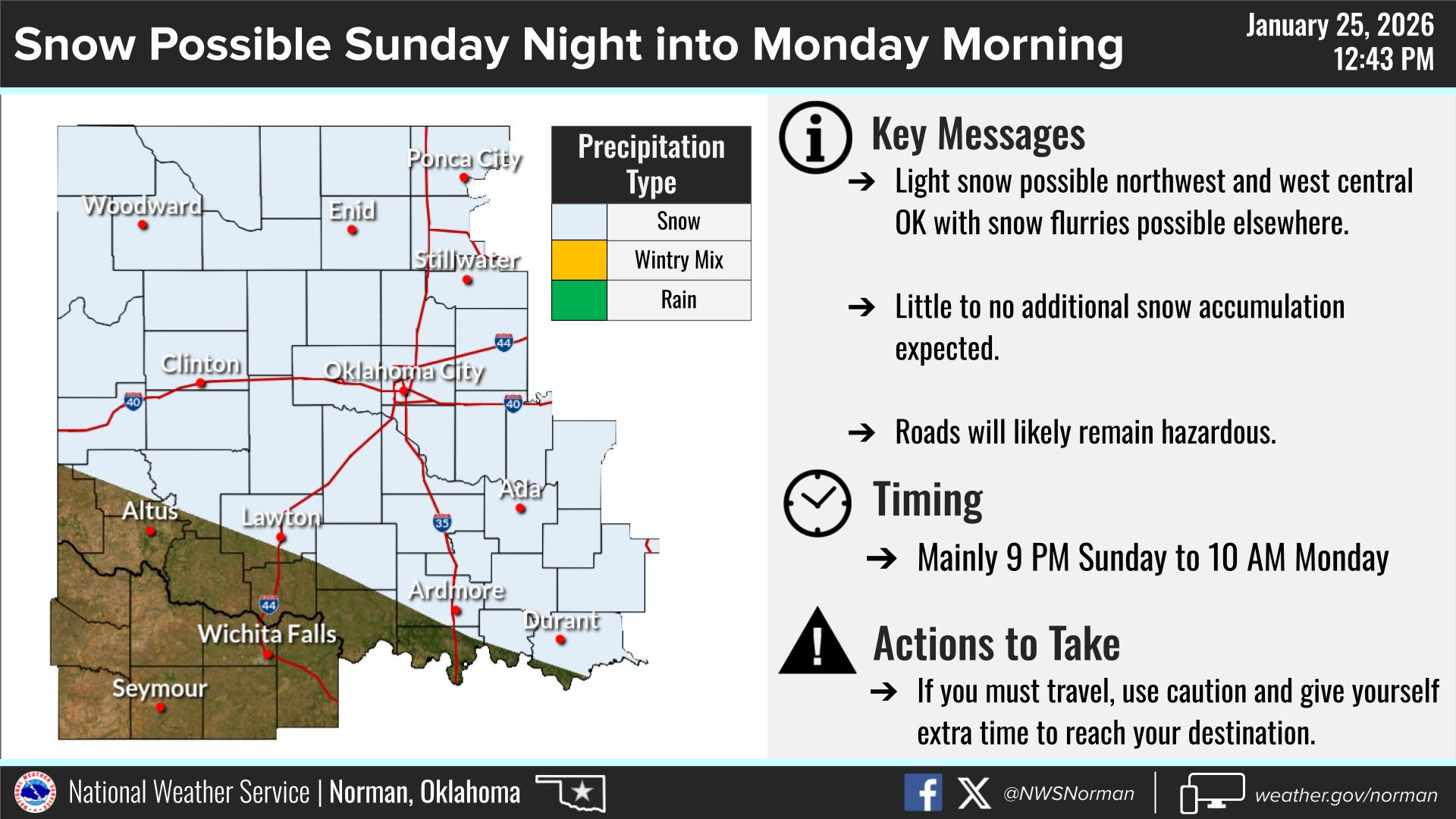
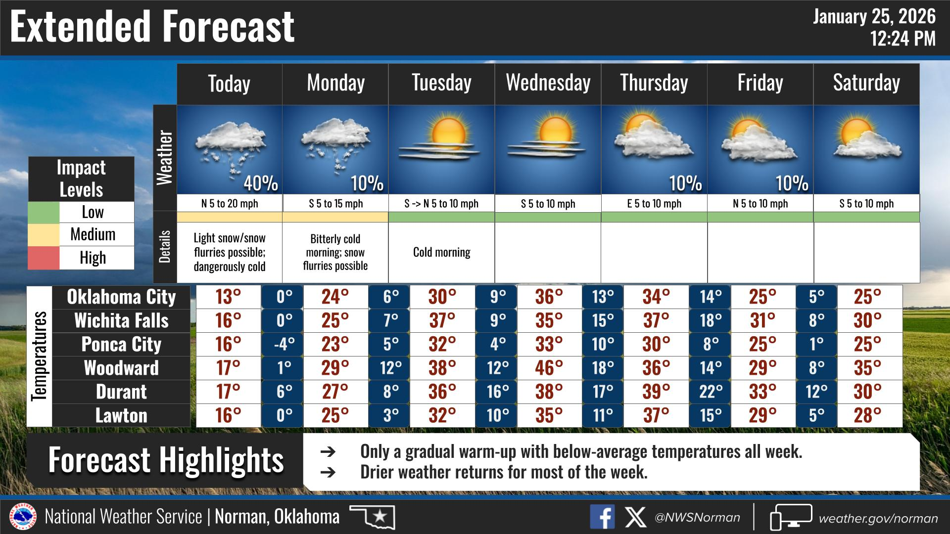
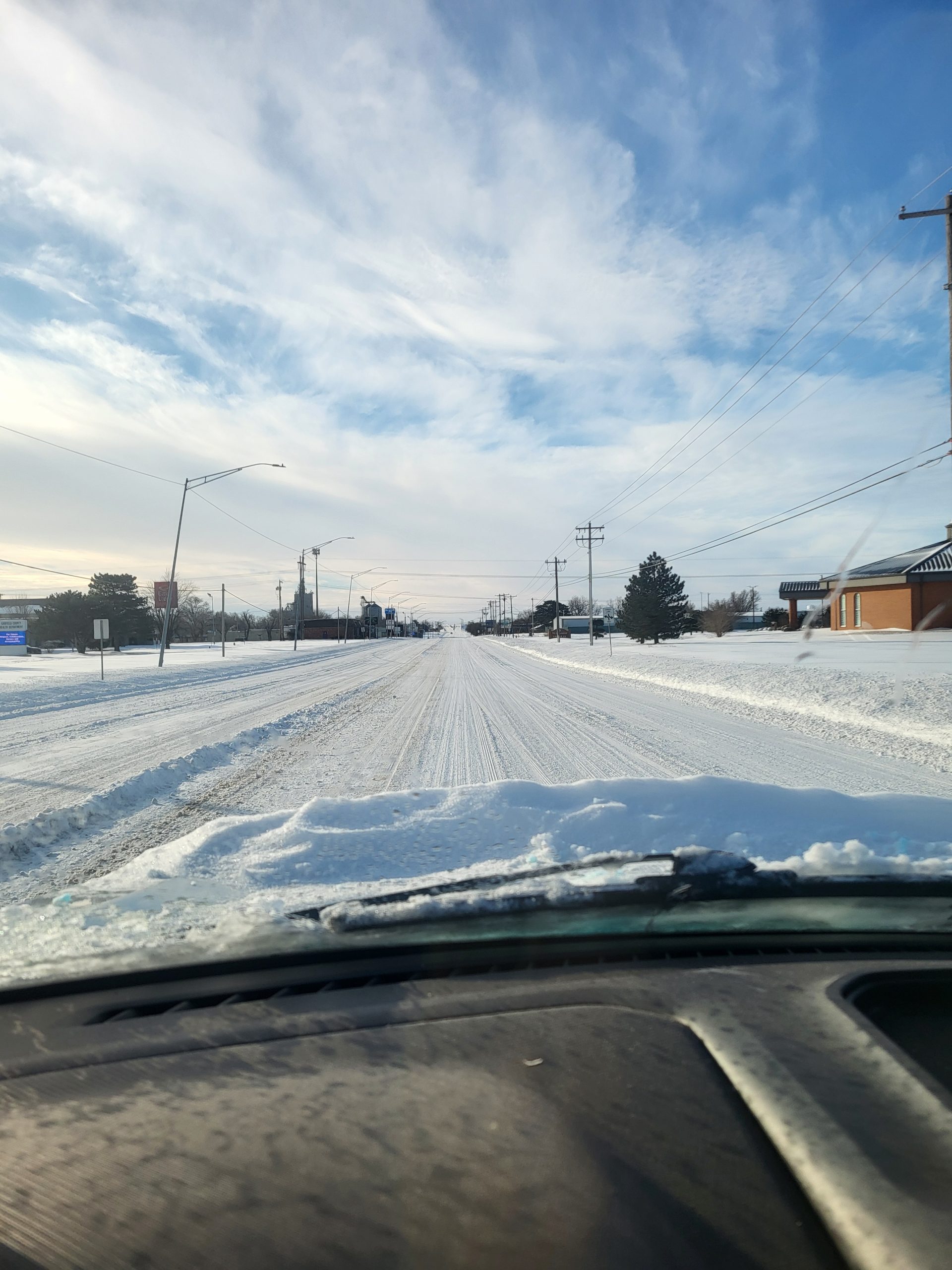
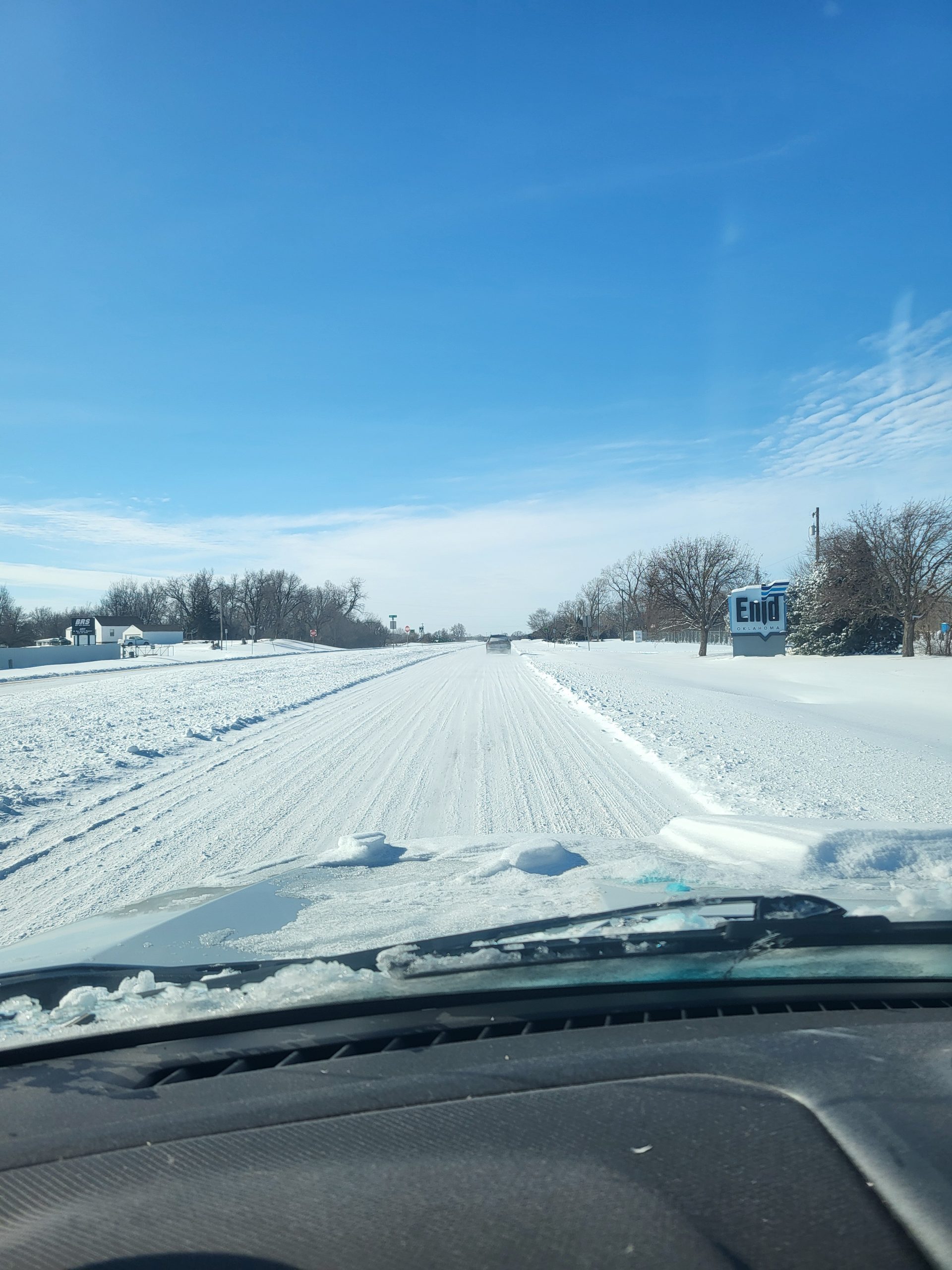
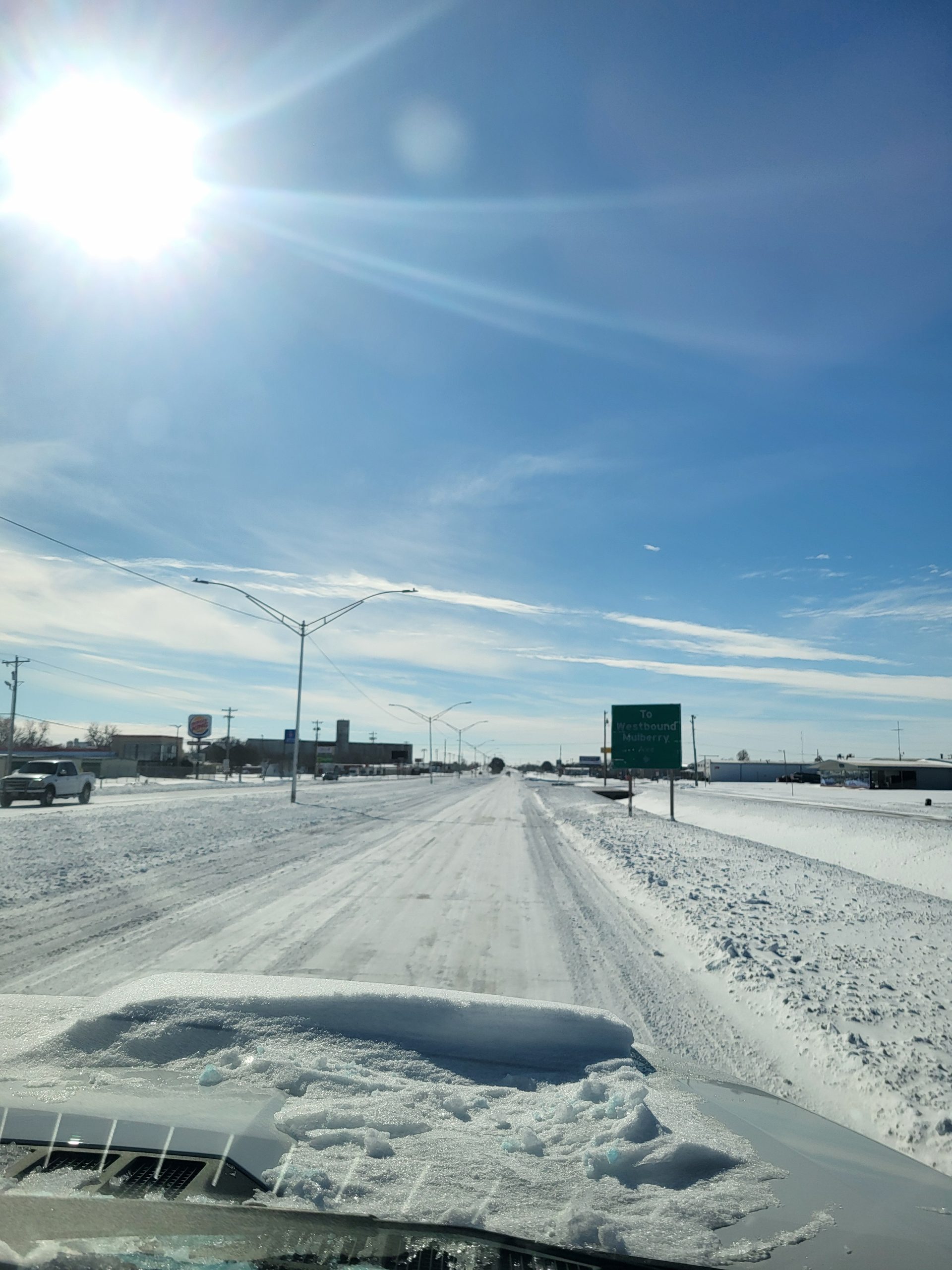
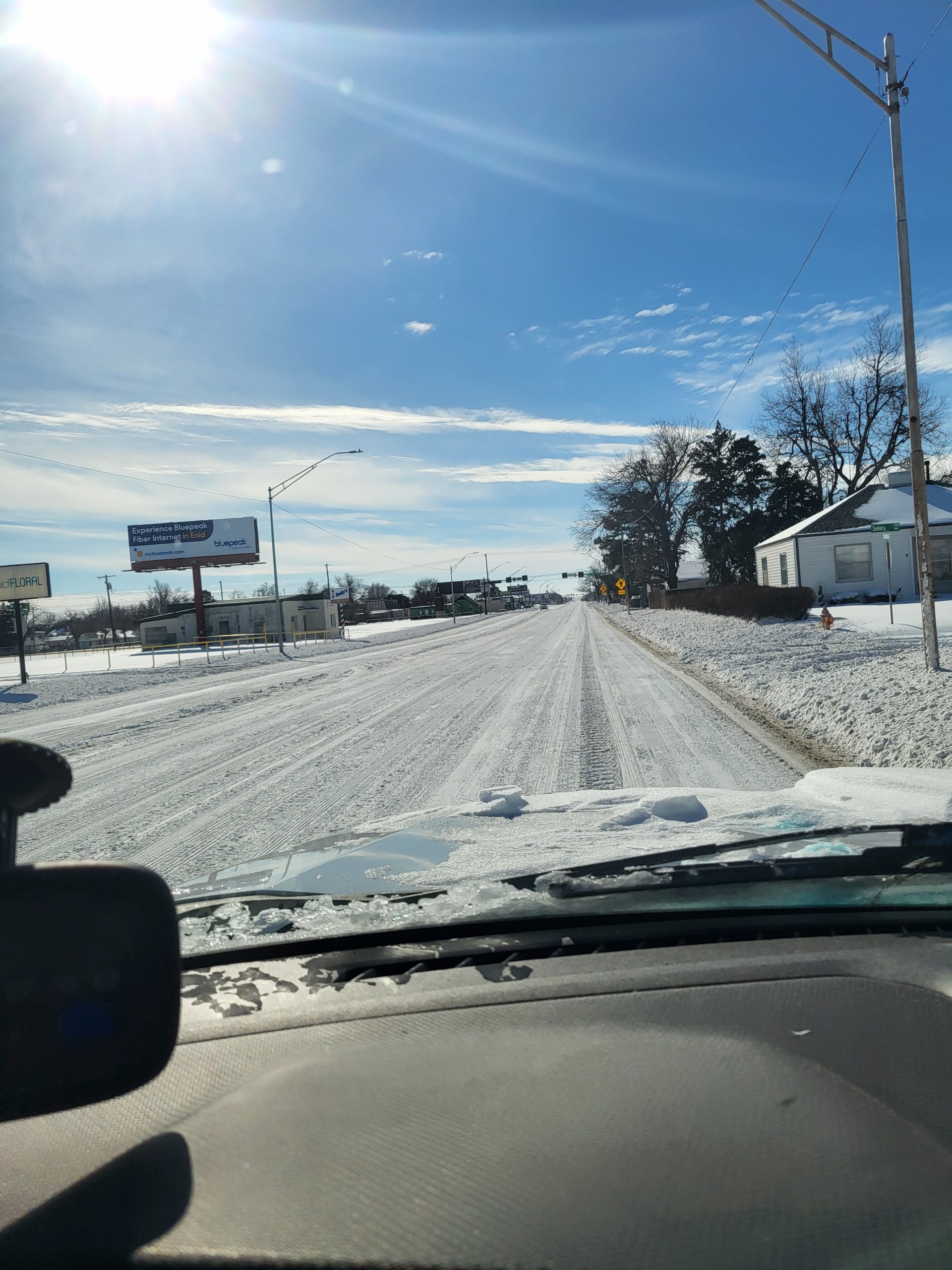
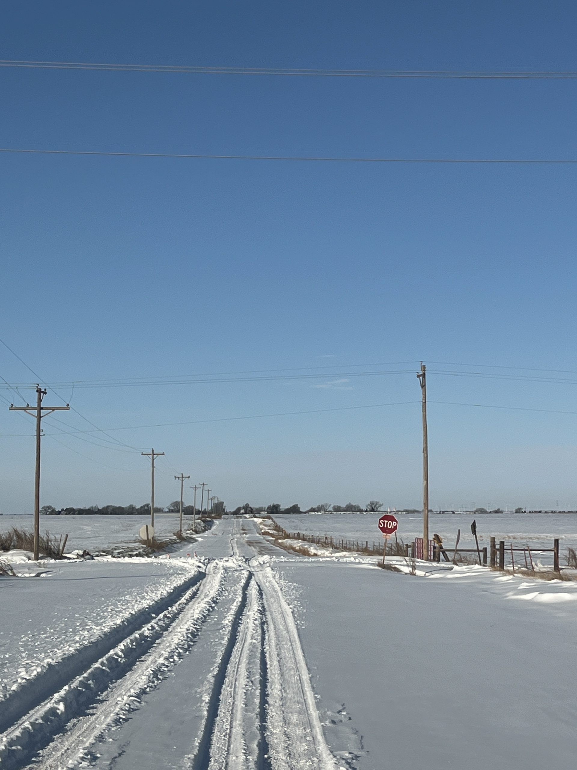
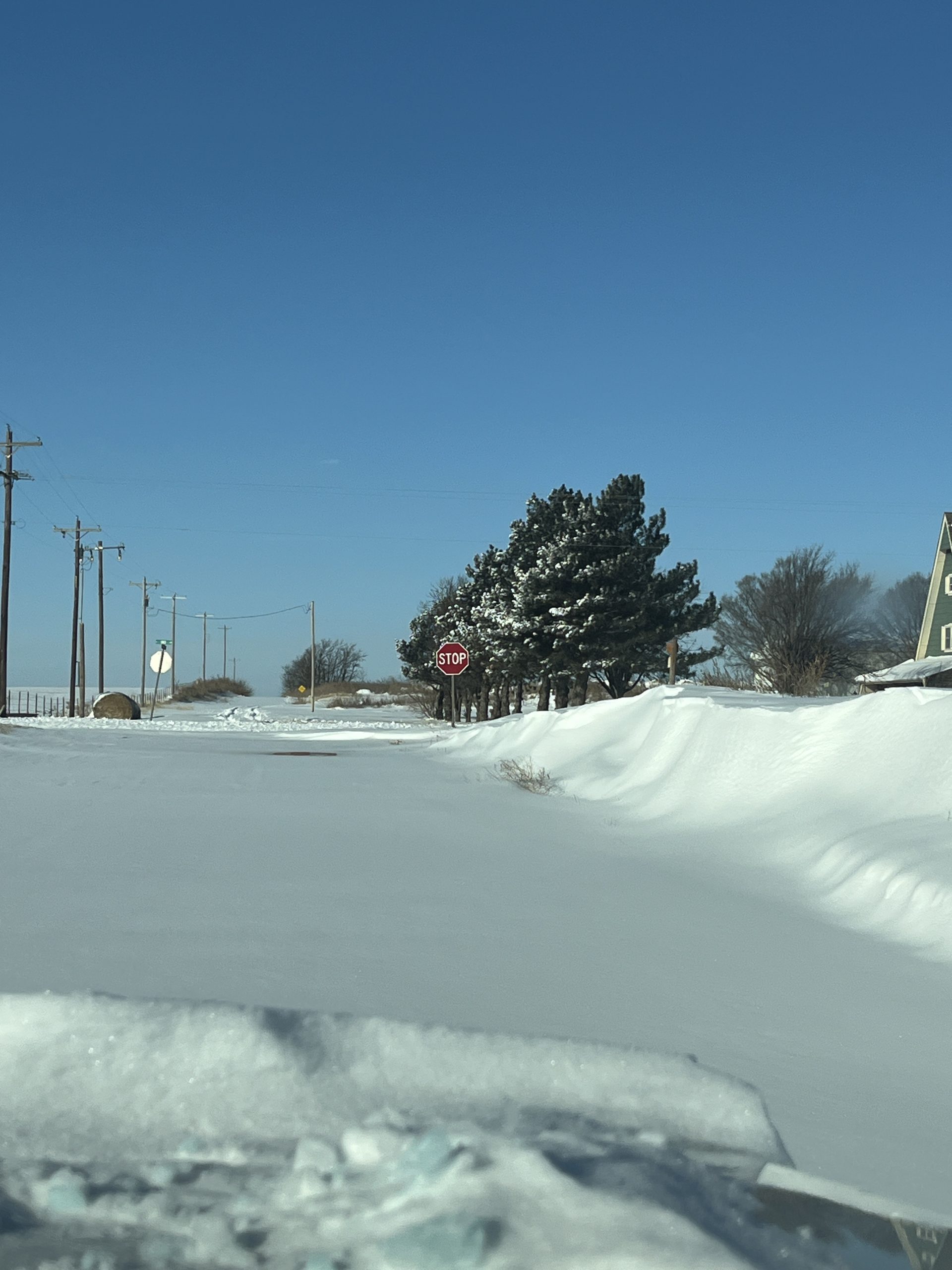
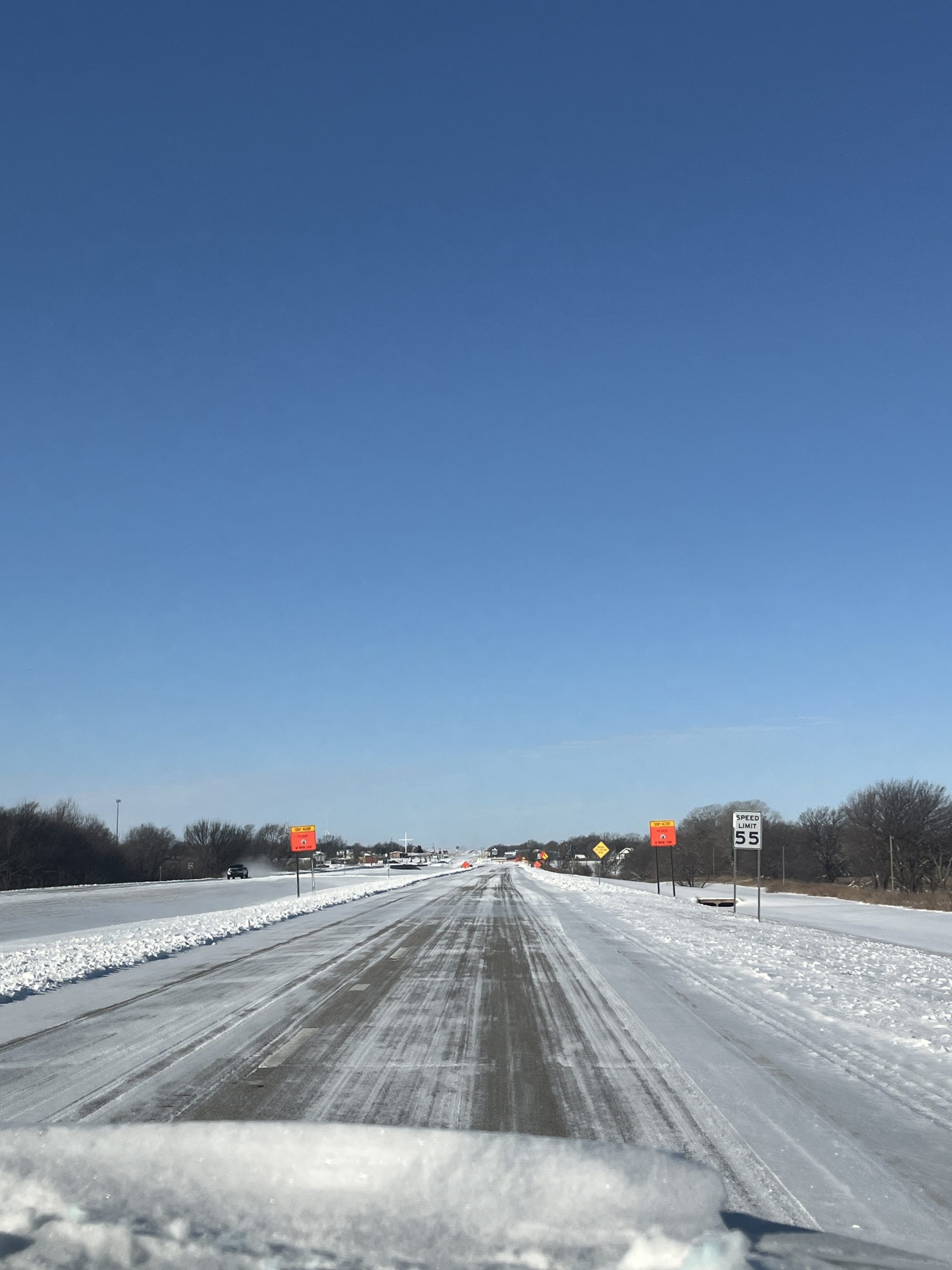
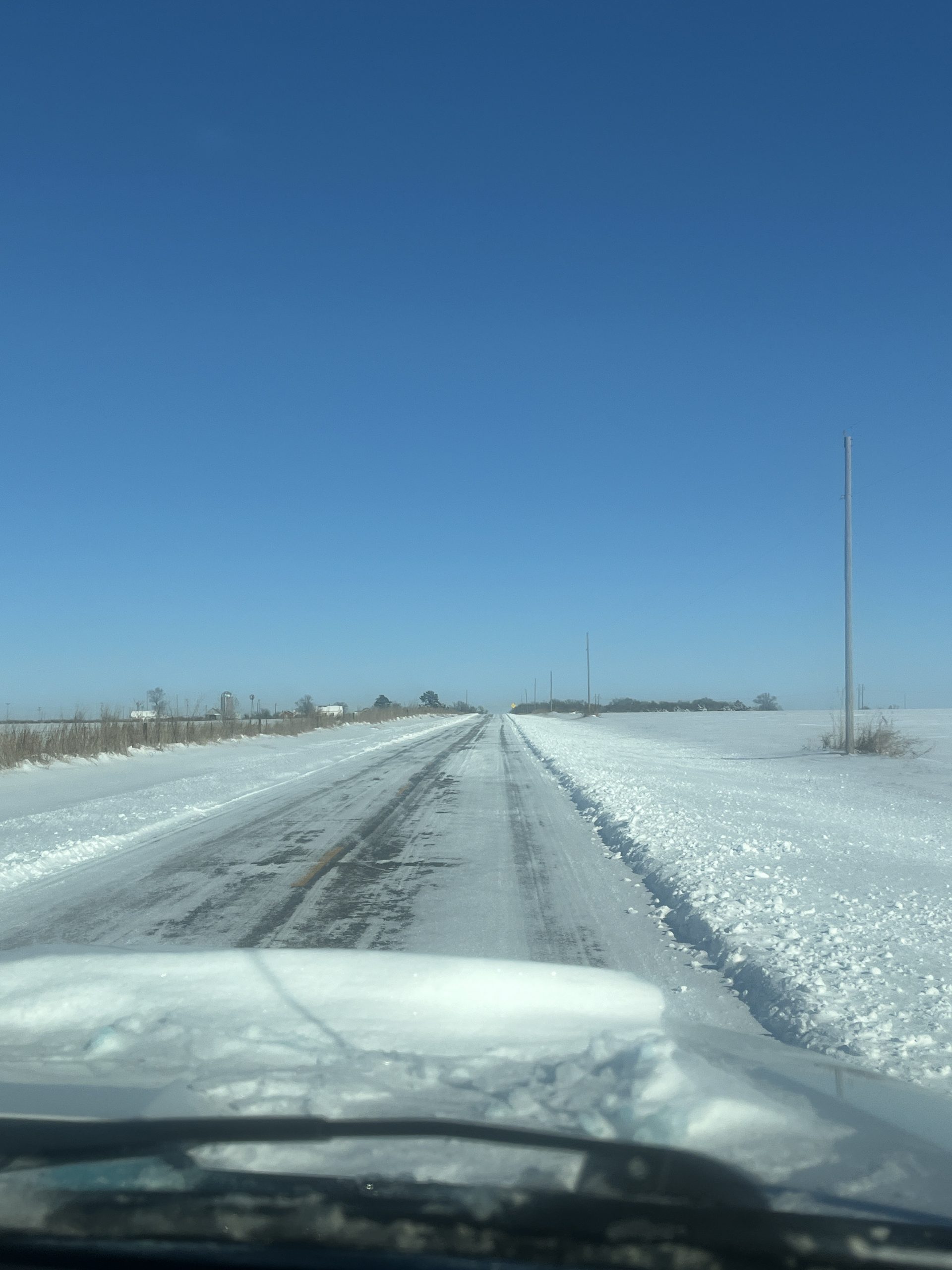
We are finally seeing some sunshine as the second wave of snow has moved out of the area. I received 8 inches here at my house. I’ve had many reports of 10-12 inches across the county. I have been out driving roads again this morning, and there are some deep snow drifts out there! Road crews are out working to clear roads. Most of the main roads and highways across the county have been cleared. Snowplows can only remove so much off the surface. You will find that most roads are still snow covered, especially side streets. Take your time and drive carefully if you get out today through Tuesday. Keep those faucets dripping! Our current temperature is 10 degrees with a windchill of -6 degrees. There is the possibility of seeing some flurries overnight, but no accumulation is expected.
Here is your forecast from the NWS/Norman:
Today: Partly sunny. Cold with highs around 14. North winds 10 to 15 mph. Wind chill values as low as 11 below.
Tonight: Mostly clear in the evening, then mostly cloudy with a chance of flurries after midnight. Cold with lows around 3 below. North winds around 5 mph.
Check Oklahoma Road Conditions : https://ok.maps.arcgis.com/apps/Viewer/index.html?appid=023e821ebf7b4acd999ccfd58d92c3da
Have a great Sunday!
Jacob Price GCEM-1