9;45pm – WEATHER UPDATE FROM GARFIELD COUNTY EMERGENCY MANAGEMENT – 3/4/2026
Quick weather update for tonight and Thursday.
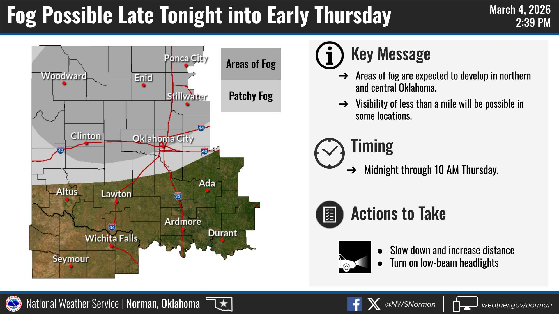
Storms will remain in southeastern Oklahoma tonight; we should remain quiet here, but we could see some patchy fog after midnight and into tomorrow morning. So, take your time during your morning commute.
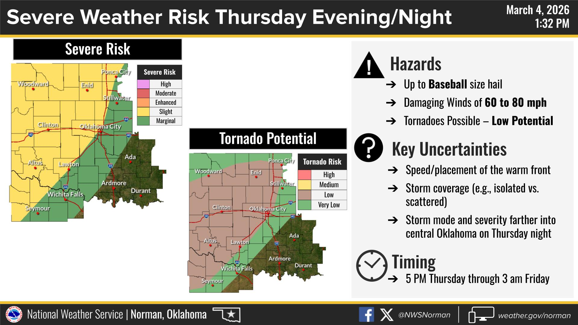
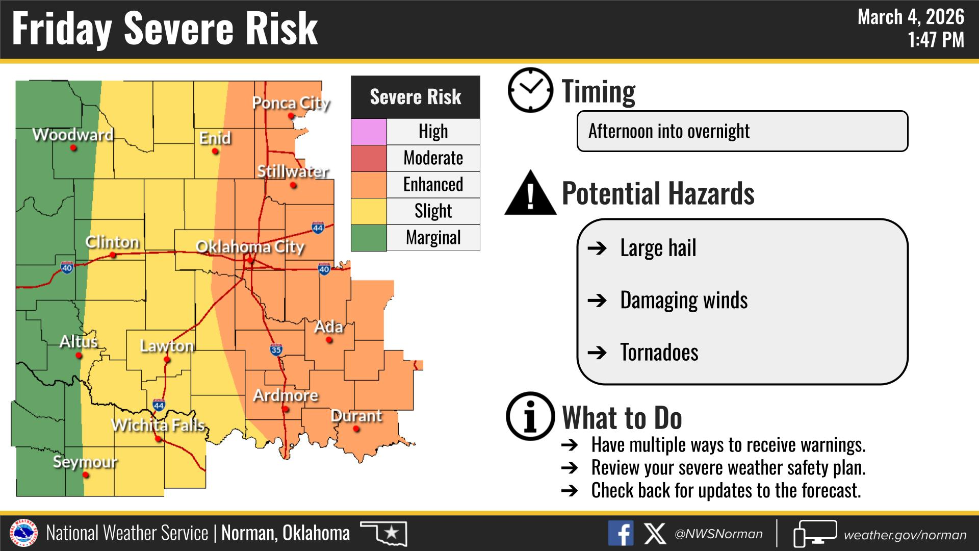
Thursday the frontal boundary will lift back north as a warm front, bringing warm moist air back to the area, with highs in the low 70s. Storms are expected to develop along a dry line forming in the east/central Texas panhandle, and move east into western Oklahoma late Thursday. There is a slight chance storms could be severe with the main threats being hail up to the size of baseballs, damaging winds 60-80 mph, and a low potential for tornadoes. There are still a few uncertainties with this system. Storms could be isolated or scattered; timing is still up in the air as well. Per the NWS/Norman we could see storms anytime between 5pm Thursday and 3am Friday.
We have another weather briefing tomorrow with the National Weather Service/Norman. I will advise on any updates or changes as needed.
TIME TO PREPARE!
- Go over your emergency plans with your family.
- Clean out your storm shelters, and make sure they are stocked with emergency supplies. (Water, First Aid Kit, Batteries, Dog Leashes, Radio, Flashlights, etc.)
- Have multiple ways to receive warnings and information.
- Download the Garfield County EM App, as you will receive automated alerts straight from the NWS/Norman.
Here is your forecast from the NWS/Norman:
Tonight – Mostly cloudy. Areas of fog after midnight. Lows around 40. North winds around 5 mph, becoming southeast after midnight.
Thursday – Mostly cloudy. Areas of fog in the morning. A chance of showers with a slight chance of thunderstorms in the afternoon. Not as cool with highs in the lower 70s. Southeast winds 5 to 10 mph, increasing to 15 to 20 mph with gusts up to 30 mph in the afternoon. Chance of rain 30 percent.
Have a great night!
Jacob Price EM-1