TUESDAY WEATHER OUTLOOK FROM GARFIELD COUNTY EMERGENCY MANAGEMENT – 01/13/2026
Good morning, Garfield County!
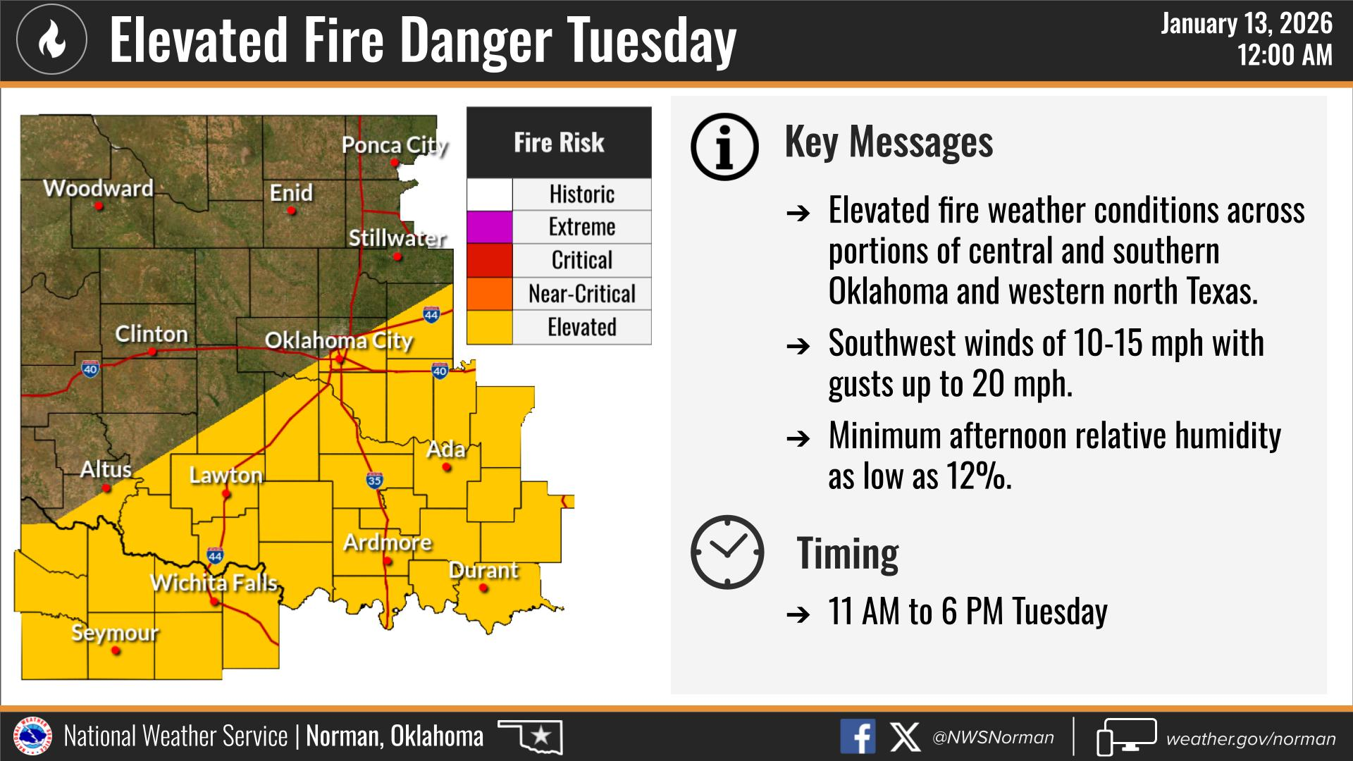
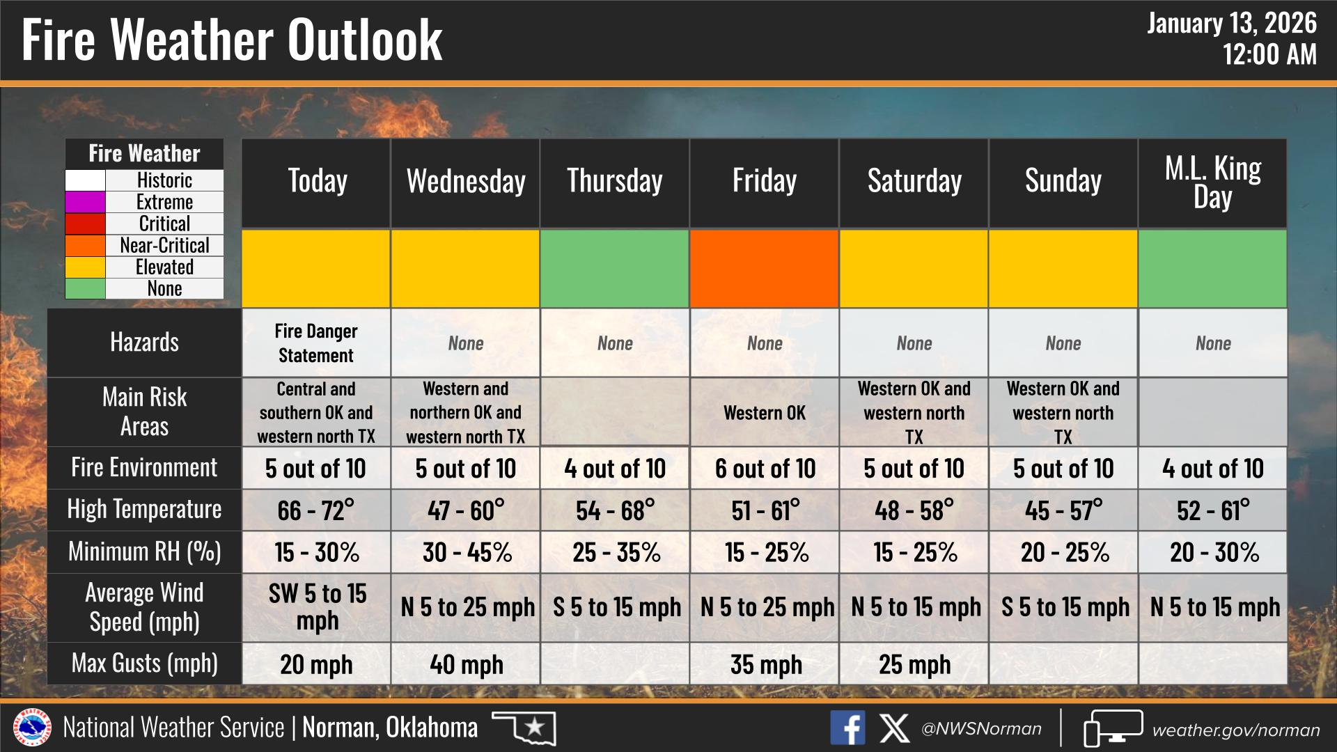
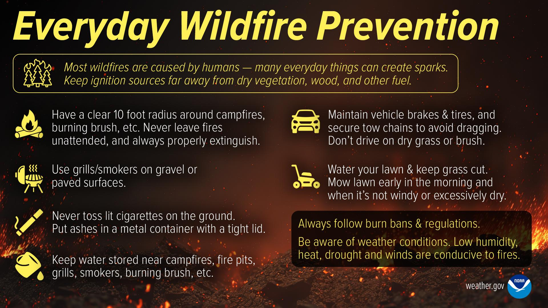
Our unseasonably warm weather continues today. We will see plenty of sunshine throughout the day before a cold front arrives late tonight. The main concern remains the elevated fire danger over the next couple of days. Avoid any activities that could ignite dry vegetation. If you see fire or smoke, be sure to report it to 911.
Here is your forecast from the NWS/Norman:
Today – Sunny. Highs in the mid-60s. West winds 5 to 10 mph.
Tonight – Mostly cloudy in the evening, then becoming partly cloudy. Lows in the lower 40s. Northwest winds 10 to 15 mph with gusts up to 25 mph.
Safety Tips
- Fire Safety: Warm temperatures, low humidity, and dry dormant vegetation will result in elevated fire weather conditions this afternoon. Please avoid any outdoor burning and use extreme caution with equipment that could cause sparks.
- Wind Awareness: Winds will shift to the northwest and increase significantly late tonight. Secure any loose outdoor furniture or holiday decorations before heading to bed.
- Stay Informed: Remember to stay informed and prepared by downloading the Garfield County EM app!
Enjoy the beautiful Tuesday and stay safe!
Jacob Price GCEM-1