WEDNESDAY WEATHER OUTLOOK FROM GARFIELD COUNTY EMERGENCY MANAGEMENT – 01/14/2026
Good morning, Garfield County!
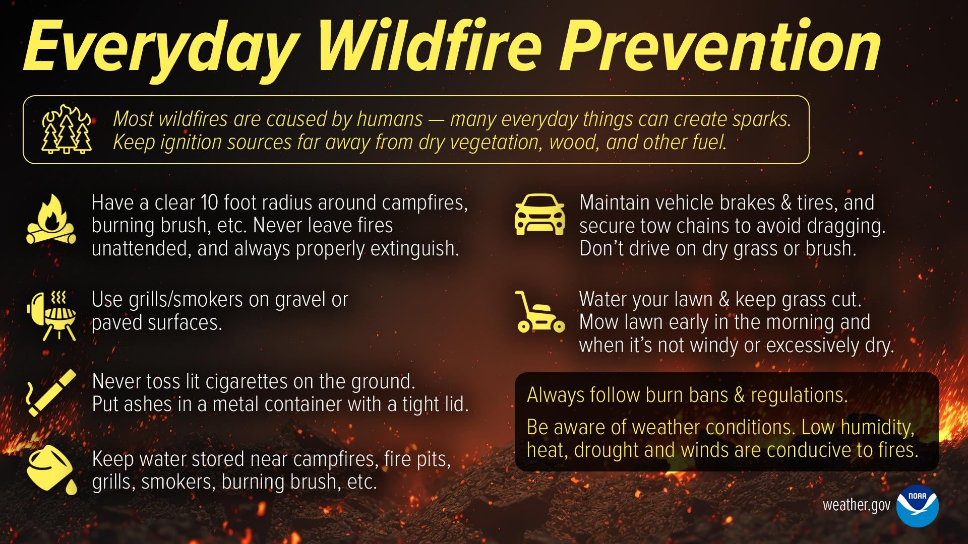
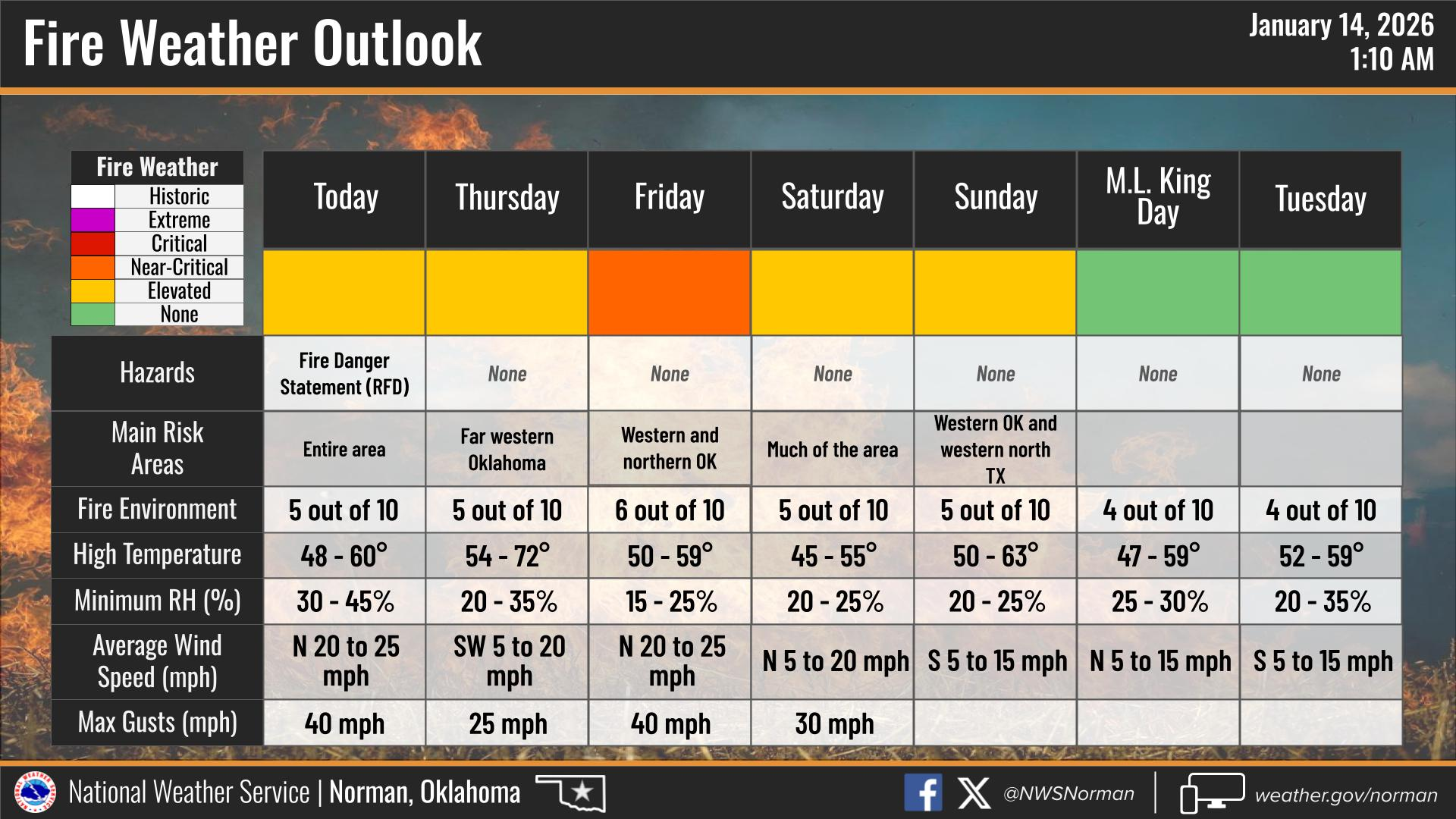
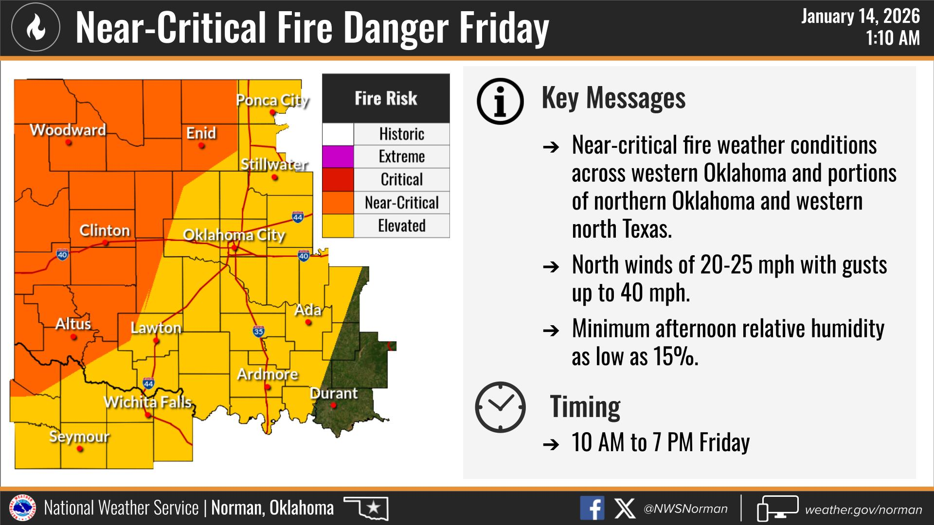
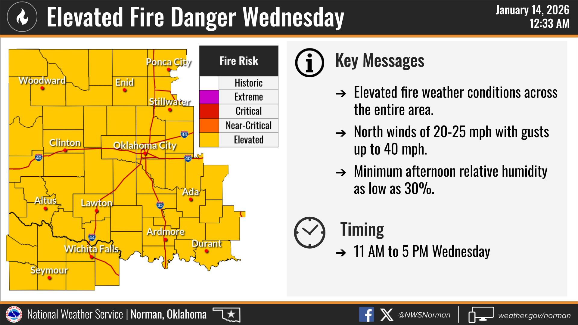
The warm weather from yesterday has moved out as a cold front arrived overnight. While we will still see plenty of sunshine today, it will be significantly cooler and much windier. Elevated fire danger remains our primary concern today due to the combination of dry vegetation and strong, gusty winds. I would advise everyone to avoid any controlled burning for the rest of this week.
Here is your forecast from the NWS/Norman:
Today – Mostly sunny and windy. Much cooler with highs in the upper 40s. North winds 20 to 30 mph.
Tonight – Mostly clear. Colder with lows in the mid-20s. North winds 10 to 15 mph, becoming west around 5 mph after midnight.
Safety Tips
- Fire Safety: Even with cooler temperatures, the strong north winds and low humidity will maintain elevated fire weather conditions this afternoon. Please continue to delay any outdoor burning and remain vigilant.
- Wind Awareness: With gusts up to 30 mph expected today, be mindful of high-profile vehicles on east-west roadways.
- Stay Informed: Remember to stay informed and prepared by downloading the Garfield County EM app!
Enjoy the sunshine and stay safe!
Jacob Price GCEM-1