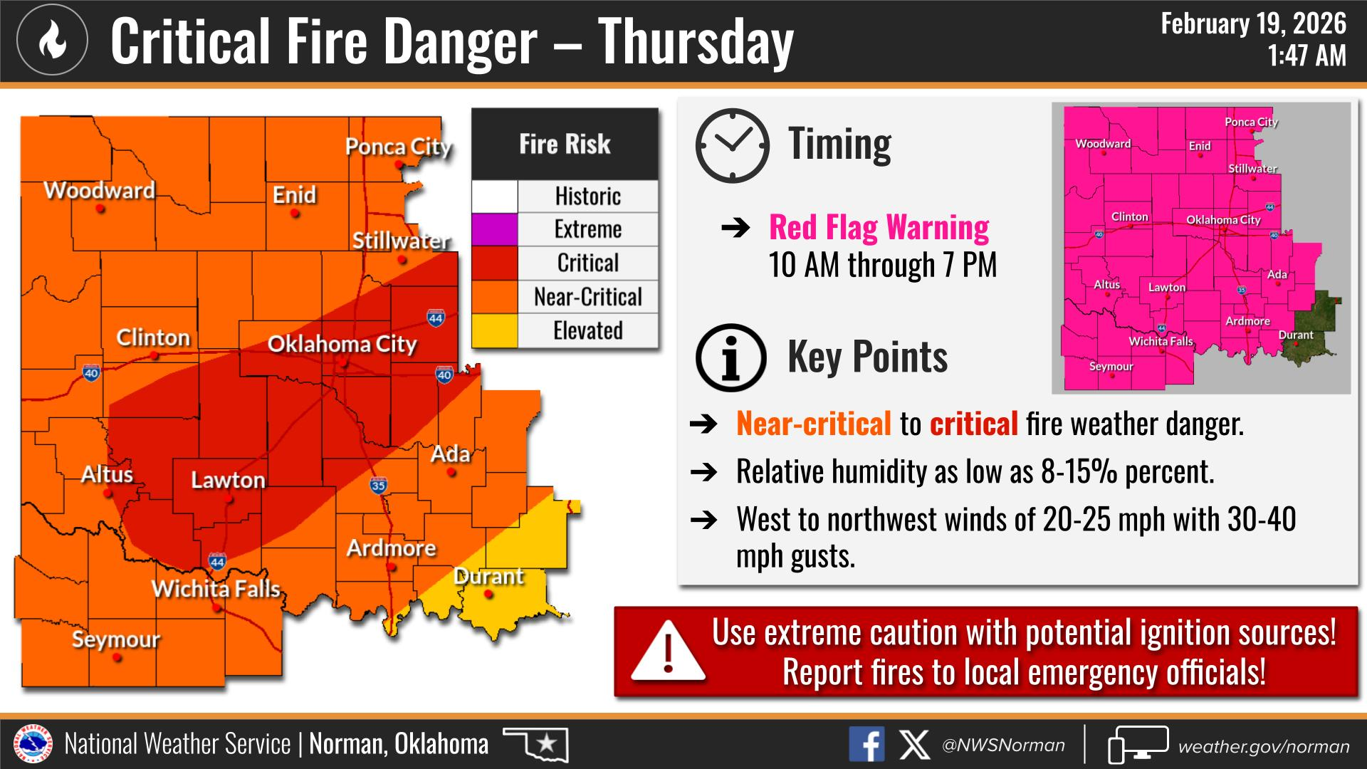
TODAY’S WEATHER OUTLOOK FROM GARFIELD COUNTY EMERGENCY MANAGEMENT – 2/19/2026
Red Flag Warning in effect from February 19, 10:00 AM CST until February 19, 07:00 PM CST
Good morning,
Here’s a quick look at today’s weather, based on the latest update from the National Weather Service Norman office.
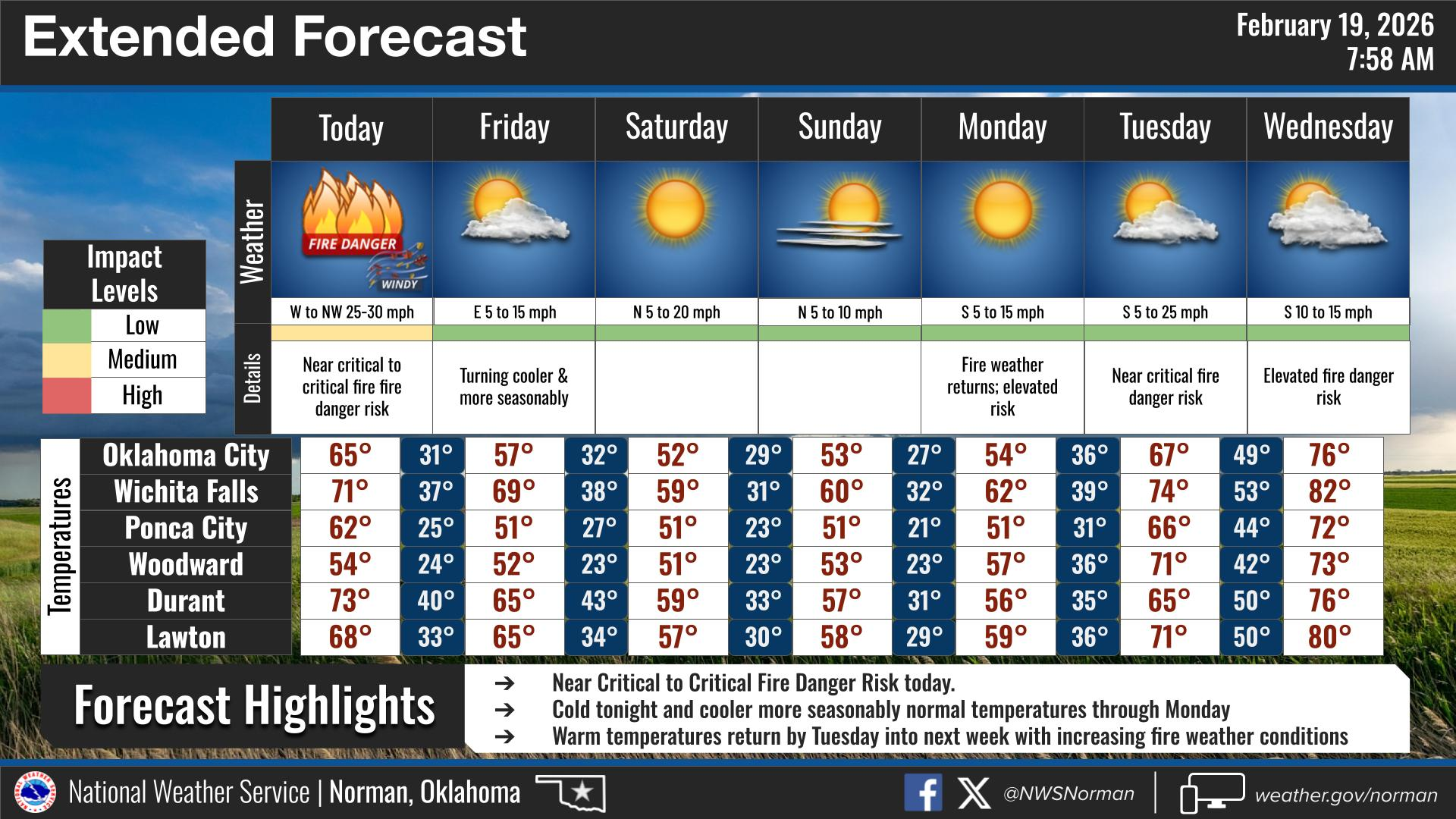
We’re looking at a mostly sunny day with highs climbing into the low 60s. It’s going to be breezy, with west winds around 20 to 25 mph with gusts pushing close to 40 mph at times. So, if you’re out and about, expect it to feel pretty windy through the afternoon.
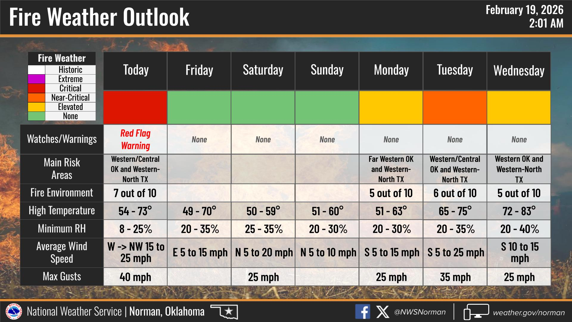
The fire weather. With the strong winds and very low humidity, conditions are lining up for near-critical to critical fire danger. It won’t take much for a fire to start, and if one does, it could spread quickly in these kinds of conditions.
Please avoid any outdoor burning today and be extra careful with anything that could throw sparks. Let’s not give the wind any help.
HERE IS YOUR FORECAST FOR TODAY FROM THE NWS/NORMAN:
TODAY – Sunny, breezy with highs in the lower 60s. West winds 20 to 25 mph with gusts up to 40 mph.
TONIGHT – Clear in the evening, then becoming partly cloudy. Much colder with lows in the mid-20s. North winds 15 to 20 mph with gusts up to 30 mph, diminishing to 5 to 10 mph after midnight.
Have a great Thursday!
Jacob Price GCEM-1