0330L-SATURDAY OUTLOOK FROM GARFIELD COUNTY EMERGENCY MANAGEMENT-11/20/21
1- GARFIELD COUNTY EM is our notification app. It provides peace of mind when you have gone through it, learned it, and apply what you’ve learned. Just think, it just could save your life!
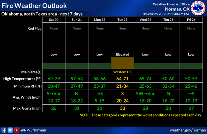
2- Weather-wise for today, not as windy but a little warmer. A trough will move through the area and bring with it some mid and high level clouds. No precip expected. The Fire Danger is low but if a fire occurs, call 911.
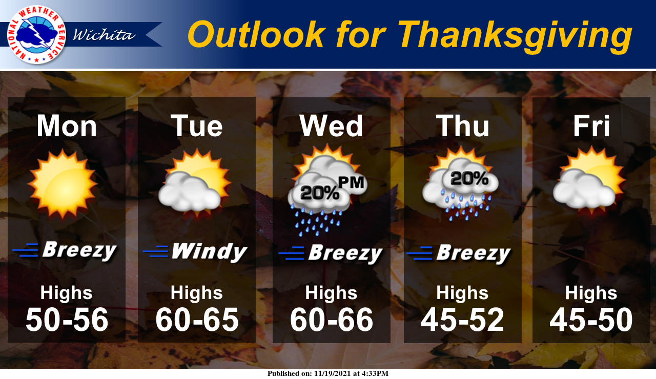
3- Many folks are posting a “model” run all over social media showing the possibility of snow for later this week. Unless we see a major arctic or Canadian front with sub-freezing air and moisture influx of gulf or pacific air over the top, there is only a 20% chance for rain per the ACTUAL forecast for Wednesday night and Thursday. High temps forecast right now are in the low 50s. REMEMBER that you don’t base forecasts on one model run. It’s based on several models coming together to give that confidence in a particular forecast.
4- Here is your forecast for today from the NWS/NORMAN;
Saturday-Partly sunny, with a high near 65. South southeast wind 5 to 15 mph.
Saturday Night-Mostly cloudy, with a low around 41. North wind 5 to 15 mph, with gusts as high as 20 mph.
HAVE A GREAT DAY!