0310L-WEDNESDAY OUTLOOK FROM GARFIELD COUNTY EMERGENCY MANAGEMENT- 10/29/25
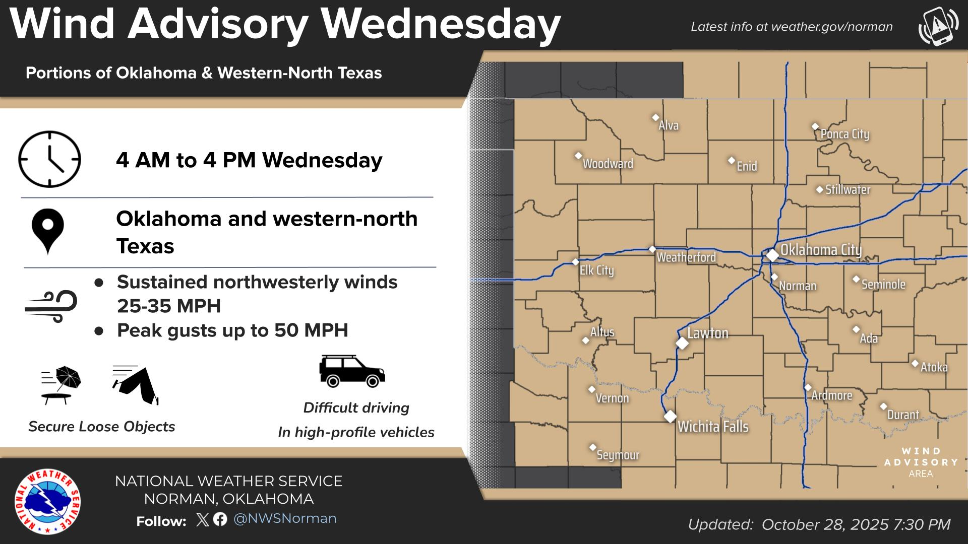
WIND ADVISORY “TODAY” FROM 0400L UNTIL 1600L
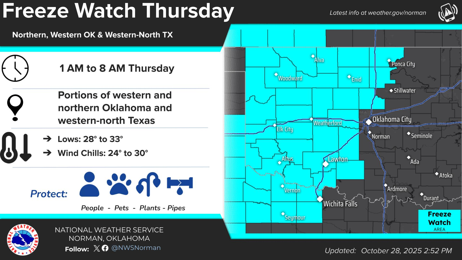
FREEZE WATCH IN EFFECT FROM 0100 UNTIL 0800- “THURSDAY” MORNING
The two headlines pretty much sum it up for the next few days. Make sure you take the minimum precautions outdoors for pipes and animals. You may want to check on your antifreeze too. It’s going to be chilly so keep a coat in the car.
Here is a link for cold weather info and its also on our Garfield County EM app. https://www.weather.gov/safety/winter
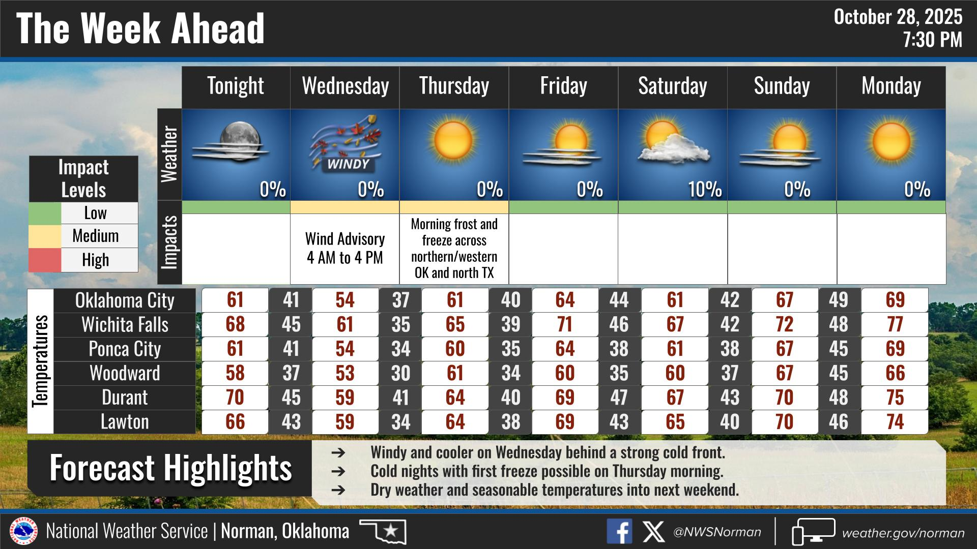
Overall, we’ll be ok, so here is your forecast from the NWS/NORMAN:
Wednesday- Sunny, windy with highs in the mid-50s. North winds 20 to 30 mph with gusts up to 50 mph.
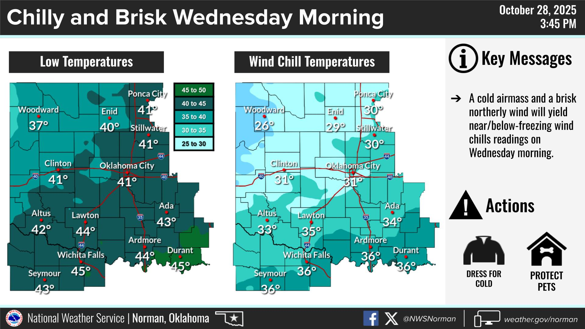
Wednesday Night- Clear. Areas of frost after midnight. Cold with lows in the lower 30s. Northwest winds 15 to 20 mph with gusts up to 30 mph, diminishing to around 5 mph after midnight.
GARFIELD COUNTY EM is our notification and preparedness app. If you don’t have it, you’re NOT prepared! REMEMBER that each day’s post appears under the GCEM Blog icon on the app.
HAVE A GOOD DAY!