WEEKEND WEATHER OUTLOOK FROM GARFIELD COUNTY EMERGENCY MANAGEMENT – 1/30/2026
CURRENT WARNINGS/ADVISORIES:
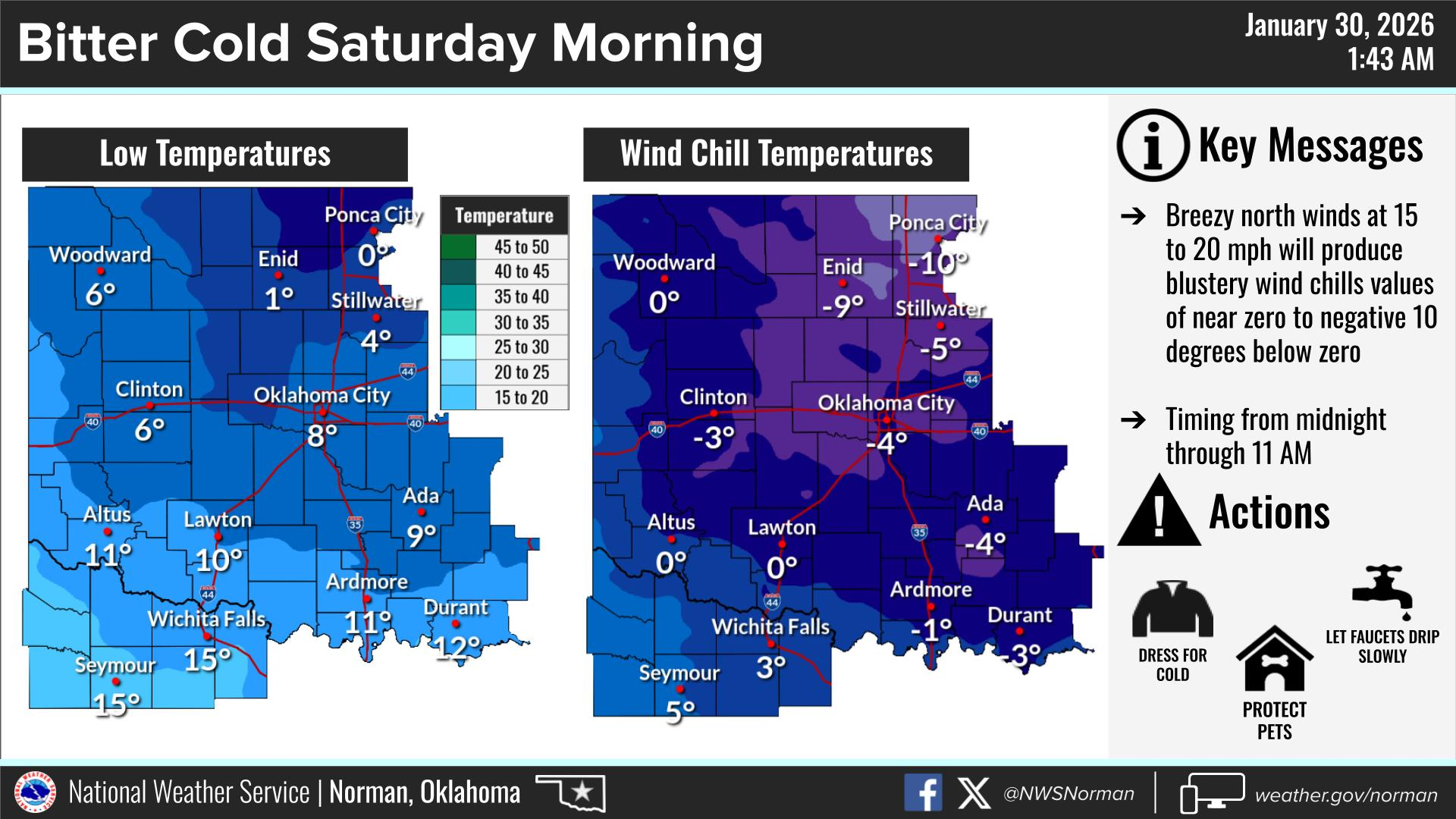
Cold Weather Advisory in effect from January 31, 12:00 AM CST until January 31, 11:00 AM CST
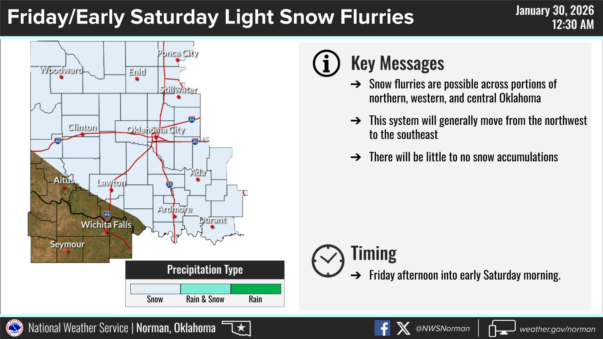
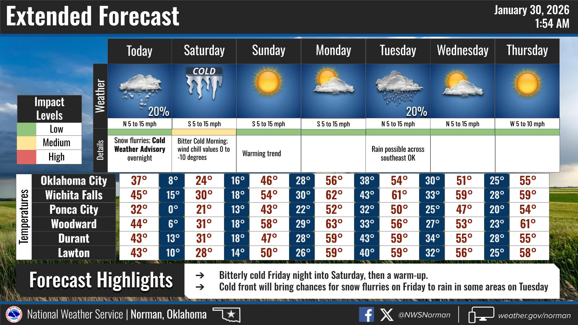
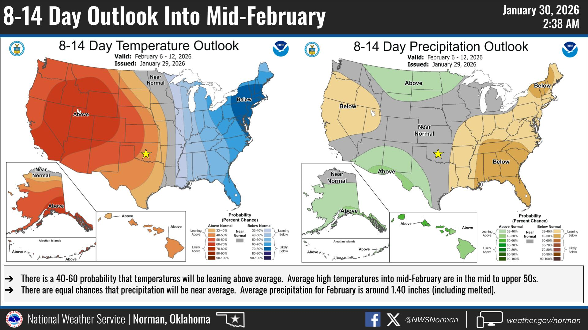
Its Friday! We have a cold weekend ahead of us, as another round of bitter cold air is on the horizon. There is a slight chance for light snow flurries tonight into early Saturday morning, with little to no accumulation. Tonight we are looking at lows of around 1 degrees, with a Windchill of -9 degrees after midnight. We will warm back up into the mid 40s on Sunday, and highs in the lower 50s by Monday! We just have to get through the next couple of days. Keep dripping those faucets, and stay warm.
HERE IS YOUR FORECAST FROM THE NWS/NORMAN:
TODAY – Mostly sunny. A slight chance of flurries this afternoon. Cold with highs in the lower 30s. Northeast winds 5 to 10 mph.
TONIGHT – Mostly cloudy in the evening, then clearing. A slight chance of flurries. Cold with lows around 1 above. North winds 10 to 15 mph. Wind chill values as low as 9 below after midnight.
Have a great rest of your Friday!
Jacob Price GCEM-1