TODAY’S WEATHER OUTLOOK FROM GARFIELD COUNTY EMERGENCY MANAGEMENT – 2/24/2026
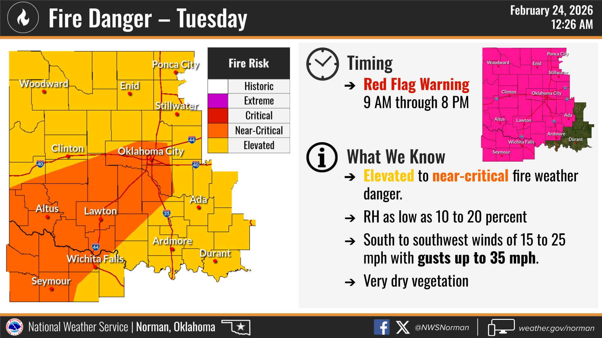
As of this morning, we are under a Red Flag Warning from 9:00 AM to 8:00 PM today.
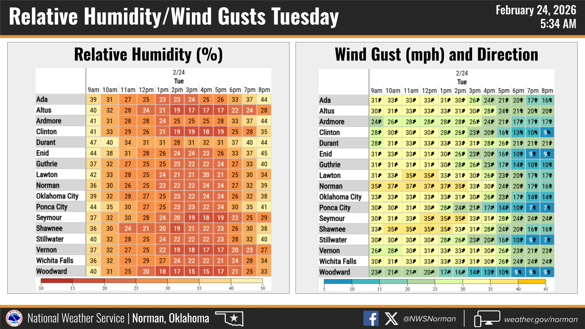
We will see warm temperatures climbing into the low 70s this afternoon, southwest winds sustained 20–25 mph with gusts up to 40 mph, and relative humidity values dropping near 10 percent. These are elevated to near critical fire weather conditions.
What this means for us:
- Any fire start has the potential to spread rapidly.
- Outdoor burning is strongly discouraged.
- Use extreme caution with equipment that can create sparks.
- Avoid parking vehicles in tall grass.
- Secure trailer chains and properly dispose of smoking materials.
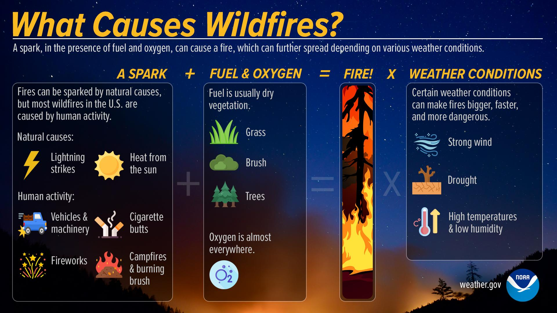
Fuels across our area remain receptive, and with the current wind and humidity combination, fire behavior could become aggressive quickly.
We will continue to monitor conditions and coordinate with local fire departments and state partners as needed. Please remain vigilant throughout the day and report any fire activity immediately.
We appreciate everyone doing their part to reduce risk during these elevated fire weather conditions.
TODAY’S FORECAST FROM THE NWS/NORMAN:
TODAY – Mostly sunny and breezy. Not as cool with highs around 70. Southwest winds 20 to 25 mph with gusts up to 40 mph.
TONIGHT – Partly cloudy. Lows in the upper 30s. South winds 5 to 10 mph, becoming east after midnight.
Have a great Tuesday!
Jacob Price GCEM-1