0400L-FRIDAY UPDATE FROM GARFIELD COUNTY EMERGENCY MANAGEMENT-2/9/18
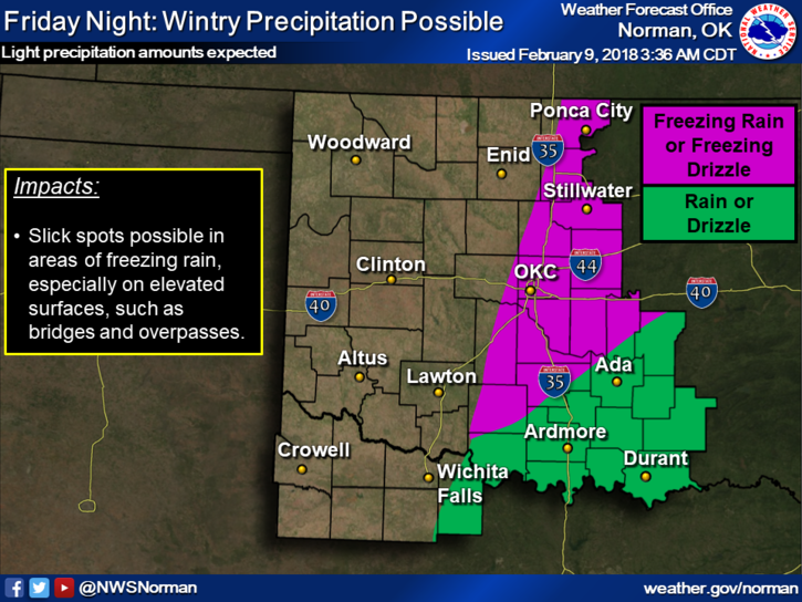
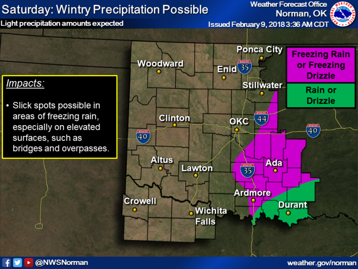
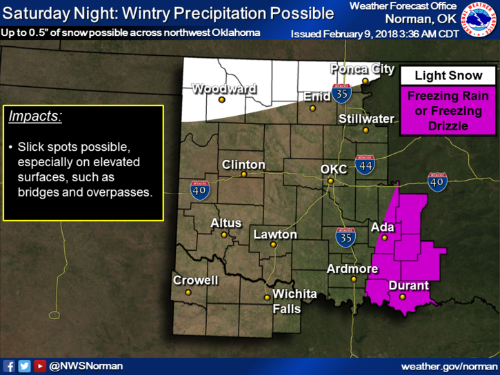
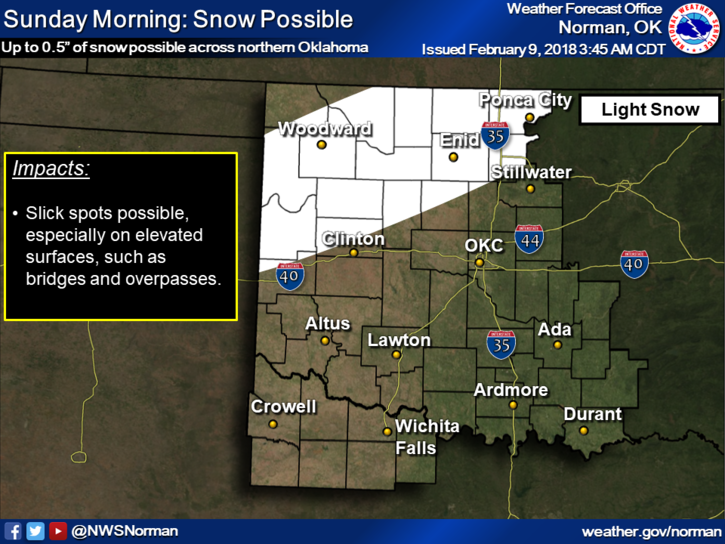
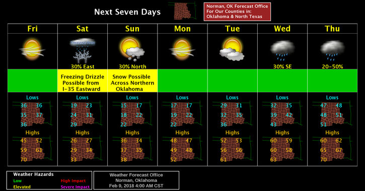
1-We’ll be cooler today and winds will become northerly as a cold front moves through the area. It will be very cold all weekend. Winds will make it seem substantially colder so take the necessary precautions. There is a very slight chance for some light freezing drizzle so keep an eye out there too. It doesn’t take much freezing precip to ruin someone’s day. For the most part, the freezing precip appears to be more of a threat to our northeast, east, and southeast. If you are planning to travel, I highly advise you to check out the forecast and road conditions very carefully. It might snow around the area SUNDAY. We’ll see.
2- The Drought Monitor is out and we are split between a SEVERE and EXTREME DROUGHT. Technically, it’s just bad all over. Be extremely careful out there.
3- The BURN BAN is still in effect and unless we receive substantial precipitation, I expect it will be extended. Don’t quote me there but it appears likely in my professional opinion.
4-Overnight lows will be in the teens and daytime highs in the mid 20’s to low 30’s the next two days. Keep that coat handy!!
5- Here is your forecast from the NWS/NORMAN;
Friday-High near 48. South wind 5 to 15mph gusting to 20 mph becoming north in the morning.
Friday Night- Lows around 20. North northeast wind 10 to 20 mph, with gusts to 30 mph.
The graphs attached will change some during the day. I’ll repost if anything changes dramatically.
HAVE A SUPER DAY!!
MIKE