0336L-MONDAY OUTLOOK FROM GARFIELD COUNTY EMERGENCY MANAGEMENT-12/21/2020
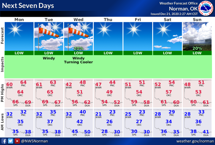
WE WILL BE A BIT WARMER EARLY THIS WEEK BUT COOL DOWN A LOT FOR CHRISTMAS.
1- Sunny with some high clouds, warm temps, and light winds. Similar to yesterday but warmer, today will be that day of the week where you really want to stay outside and enjoy the warmth.
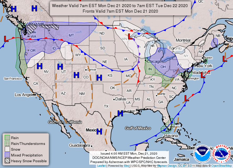
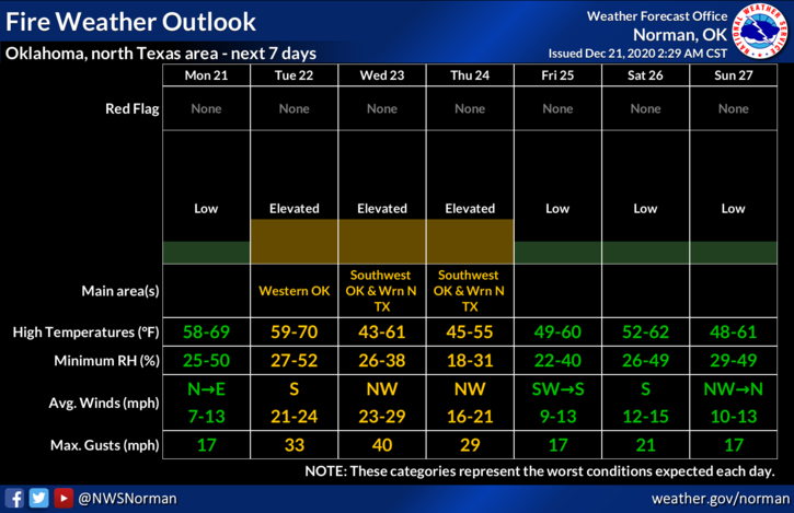
2- Tuesday, a front will be heading our way thus increasing winds and also the Fire Danger. Tuesday thru Thursday, winds and low humidity will be the culprits for the increase for the fire danger. If you work and do anything related to fire, please be extremely careful as fires will get out of control very quickly. I would say, NO CONTROLLED BURNING T-W-TH. Overall, we’ll be ok so just be careful out there.
3- Here is your forecast from the NWS/NORMAN;
Today- Sunny. Highs in the lower 60s. Northwest winds around 10 mph in the morning becoming light and variable.
Tonight- Clear. Lows in the lower 30s. Light and variable winds.
HAVE A GOOD DAY!!
MIKE