0415L-SUNDAY UPDATE FROM ENID/GARFIELD COUNTY EMERGENCY MANAGEMENT-7/22/18
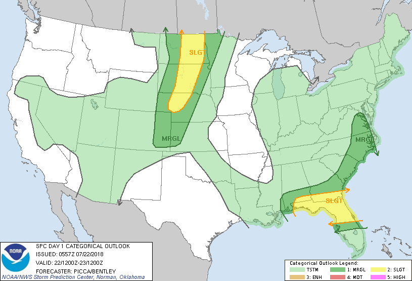
1-TODAY- TEMPS WILL BE UP AGAIN TODAY AND THEN START THE DOWNWARD TREND TO WHAT WE “THINK” MAY BE NORMAL FOR THIS TIME OF YEAR. The ridge, per guidance, will start to move westward AND we’ll become under NW FLOW aloft. This will put us back in the pattern for overnight heavy rainfall. We’ll see how all of this comes together.
2- Be careful working outside and make sure the kids, yourself, and your pets stay hydrated.
3- Here is a link to NWS/HEAT RELATED INFORMATION. I have had several requests so here you go; https://www.weather.gov/safety/heat
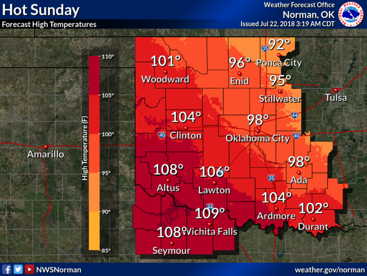
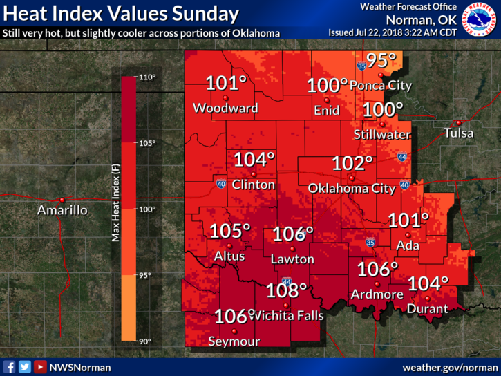
4- Here is your forecast from the NWS/NORMAN;
Sunday-Sunny and hot, with a high near 97. Heat index values as high as 100. East southeast wind 6 to 11 mph.
Sunday Night-Partly cloudy, with a low around 74. East wind around 10 mph
Make sure you have our app-GARFIELD COUNTY EM. You’re NOT prepared without it.
HAVE A GREAT DAY!!
MIKE