0420L-SUNDAY OUTLOOK AND INFO FROM GARFIELD COUNTY EMERGENCY MANAGEMENT-7/7/19
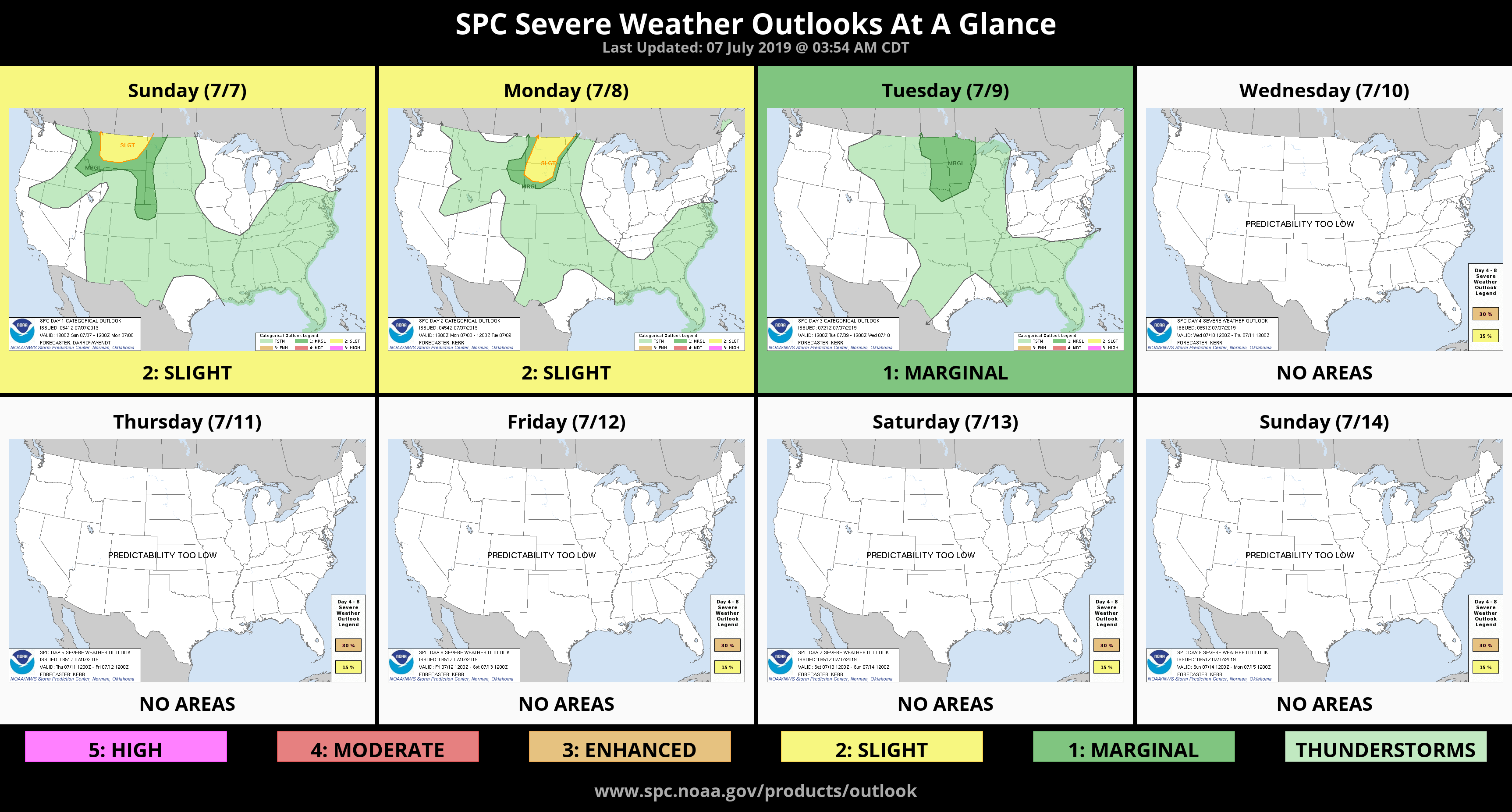
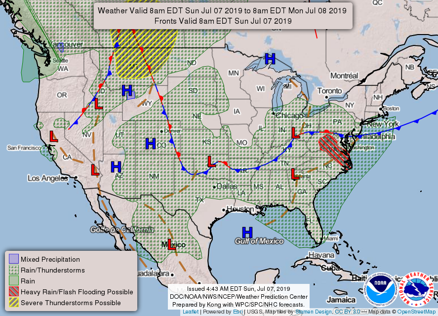
1- As it has been for several days, we are in a GENERAL RISK AREA for thunderstorms for the next 3 days. This means thunderstorms could form ANYWHERE. There really isn’t any mechanism to move storms very fast so any storm that forms will become a very efficient rainmaker. Flooding could become a reality real quick so stay weather aware if storms are in the area.
2- Be sure to get our GARFIELD COUNTY EM app. You’re better prepared with it than without it.
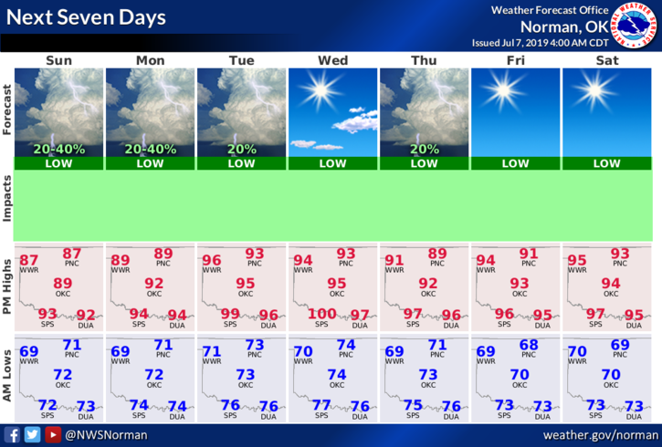
3- Overall, we’re in pretty good shape so here is your forecast from the NWS/NORMAN;
Today-Decreasing clouds. A slight chance of thunderstorms. Highs in the lower 90s. Light and variable winds becoming south around 10 mph in the afternoon. Chance of thunderstorms 20 percent.
Tonight-Partly cloudy with a chance of thunderstorms. Lows in the lower 70s. Southeast winds around 10 mph in the evening becoming light and variable. Chance of thunderstorms 30 percent.
HAVE A GREAT DAY!!
MIKE