0400L-SUNDAY OUTLOOK & INFO FROM GARFIELD COUNTY EMERGENCY MANAGEMENT-10/13/19
1- FIRE DANGER. This may become an everyday statement as we push into winter. As you all are aware, we received a lot of rainfall during the summer months. Rainfall = foliage growing= fire danger in the fall. PLEASE use extreme caution as we move into the winter months utilizing anything related to fire out in the rural areas. Right now isn’t too bad but with lower humidity and some winds, it could get out of control quickly. We don’t want anyone losing a home or other property due to carelessness out there. More on this as we continue into the winter months.
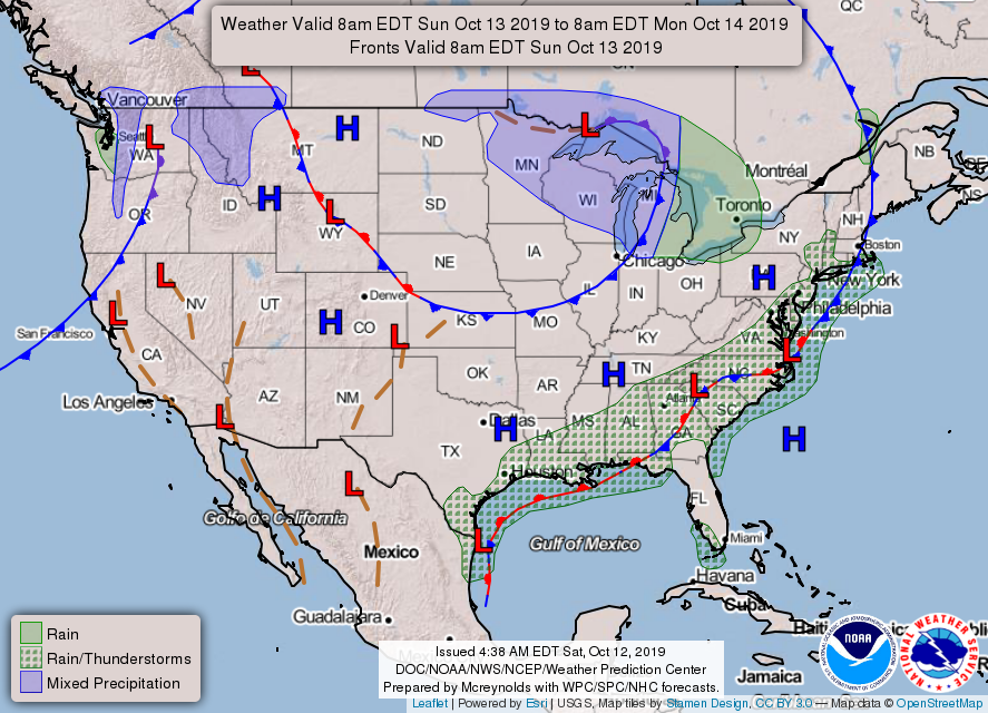
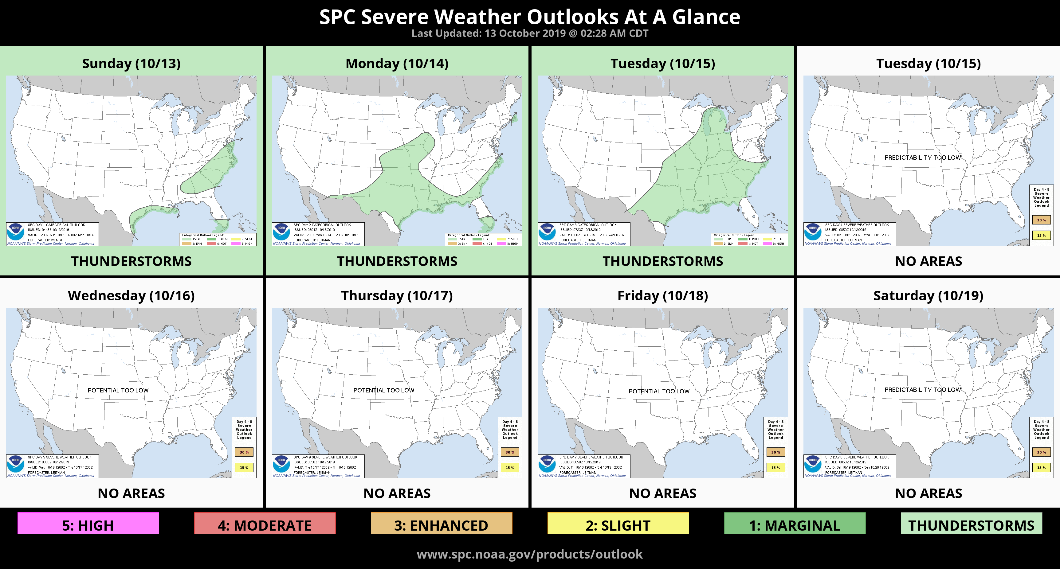
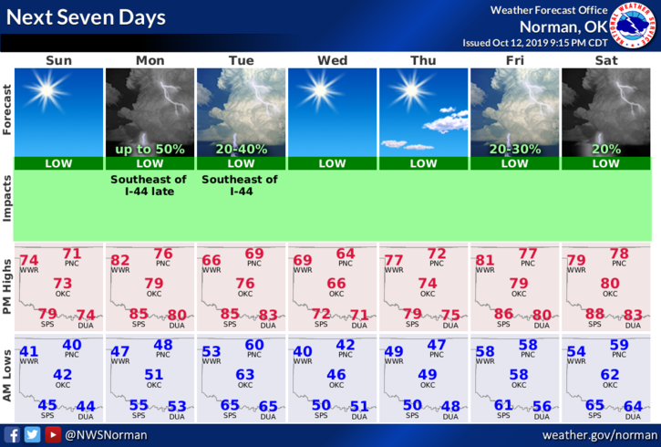
2- We will experience dry conditions through most of this week with a few fronts pushing through. Temps this week will average in the mid-60s to upper 70s for highs and from the low 40s to upper 50s for lows.
3- Here is your forecast from the NWS/NORMAN;
Sunday- Sunny with highs in the mid-70s. South winds around 10 mph.
Sunday Night-Clear with lows in the upper 40s. Light and variable winds.
HAVE A GREAT DAY!!
MIKE