0415L-TUESDAY OUTLOOK AND INFO FROM GARFIELD COUNTY EMERGENCY MGMT-8/27/19
I will be testing my new phone doing a few live test broadcasts on social media during the day. My old one has a focusing issue. We’ll get it worked out.
1- Preparedness starts with our app”GARFIELD COUNTY EM” if you don’t have it, YOU are NOT prepared.
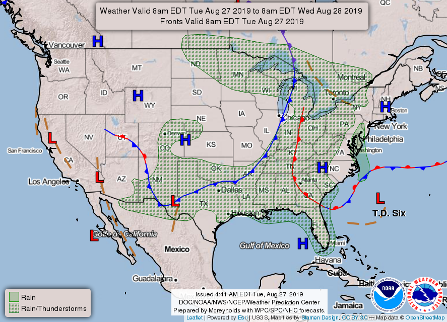
2- If you are traveling south today, check your forecast carefully as storms will be ongoing as the day progresses. Just be careful out there.
3- We will be cooler since the cold front pushed through. Highs will be in the low 80s with dryer air so it shouldn’t feel anything close to yesterday. Our next chance for rain comes in Thursday and Friday with the passage of another front.
4- Here is your forecast from the NWS/NORMAN;
Tuesday- Partly sunny with a high near 82. Northeast winds 5 to 10 mph.
Tuesday Night- Partly cloudy with a low around 60. Northeast winds 5 to 10 mph.
ENJOY YOUR DAY!!
MIKE