0350L-TUESDAY UPDATE FROM GARFIELD COUNTY EMERGENCY MANAGEMENT-2/13/18
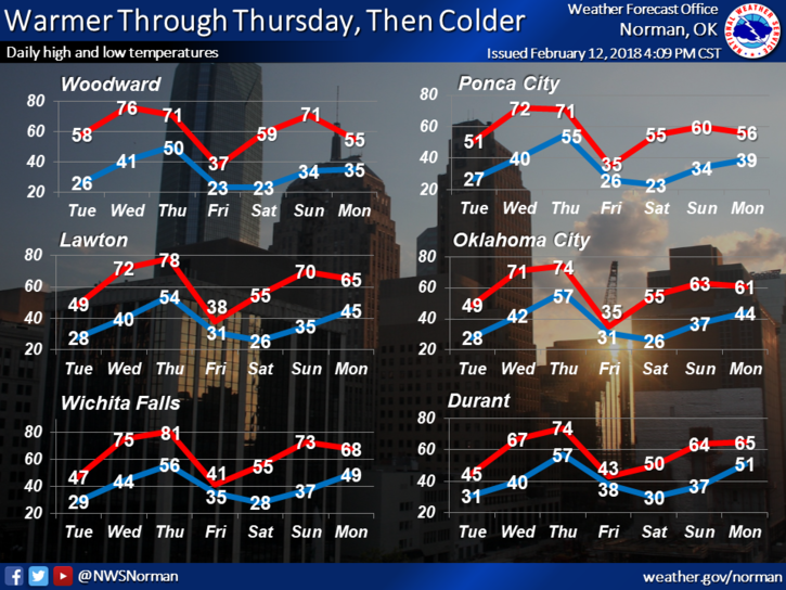
1-WARMER is a key word for the next few days then someone opens the north barn door again. No, I am not clairvoyant but the weather dudes and dolls have a cold front in the forecast coming through the area late Thursday. Highs on Friday will be in the 30’s. I need a very strong PADLOCK for that NORTH door. There is a chance, “though slight”, that we could see some sort of precip but don’t hold your breath.
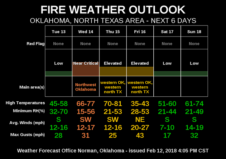
2- The BURN BAN is ongoing so NO OUTDOOR BURNING.
3- The FIRE DANGER is low today but increases to near critical tomorrow.
4- Here is your forecast from the NWS/NORMAN;
Tuesday-Mostly sunny with highs near 51. South wind 5 to 15 mph gusting to 25 mph.
Tuesday Night-Patchy fog after midnight. Low around 40. South wind 10 to 15 mph gusting to 21 mph.
HAVE A SUPER DAY AND SLOW DOWN IN THE SCHOOL ZONES!!
MIKE