0355L-TUESDAY OUTLOOK & INFO FROM GARFIELD COUNTY EMERGENCY MANAGEMENT-2/19/19
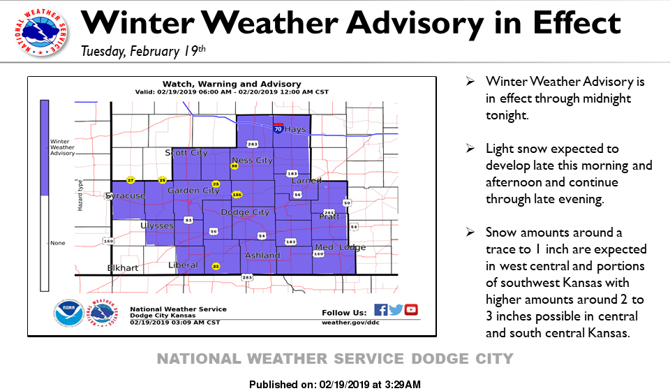
WINTER WEATHER ADVISORY FROM 6AM THIS MORNING UNTIL MIDNIGHT TONIGHT. This may become a Winter Storm Warning if totals appear to be heavier as this system evolves.
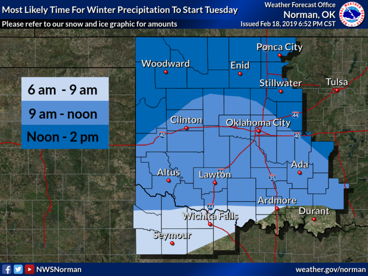
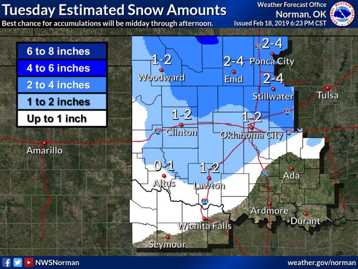
1) Snow looks like a reality starting later this morning through this evening. Exact amounts won’t be known until the event is over but it appears we could see anywhere from 2-4 inches if the storm track stays the same and temps stay cold. Temperatures aloft could cause snow to turn back to freezing drizzle or rain. We’ll see how this mess comes together.
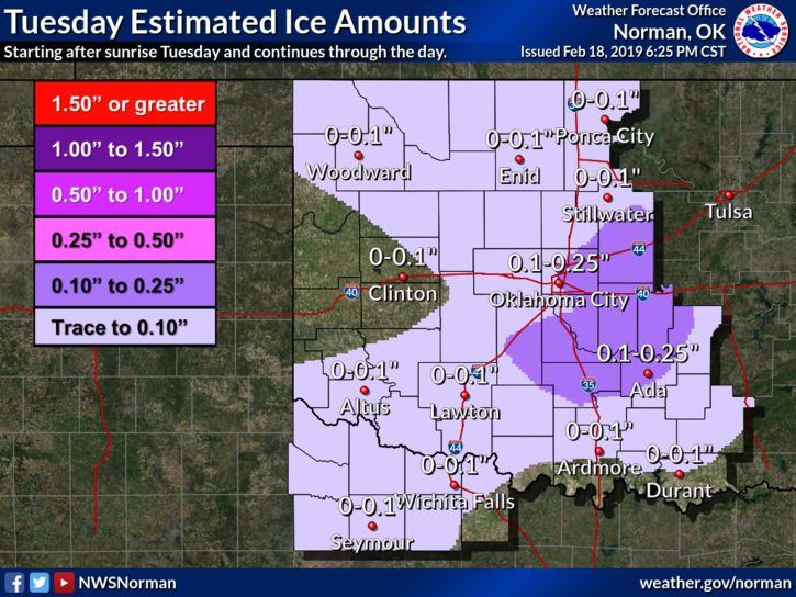
2) I have 2 words for anyone traveling today-SLOW DOWN. If we do receive freezing rain/drizzle before the snow starts or even afterwards, as that could occur, it will become extremely slick out there. SLOW DOWN AND DRIVE WITH CAUTION.
3) We have seen snow before, believe it or not, so there is no need to panic or get upset. Just enjoy the event and we’ll keep you up to date, good or bad through our GARFIELD COUNTY EM app during the day as needed.
4) Here is your forecast from the NWS/NORMAN;
Tuesday-Snow, mainly after noon. High near 28. East wind around 10 mph. Chance of precipitation is 80%. New snow accumulation of 2 to 4 inches possible.
Tuesday Night-Snow likely possibly mixed with freezing drizzle before midnight, then a slight chance of freezing drizzle. Cloudy with a steady temperature around 28. East wind 5 to 10 mph becoming light and variable. Chance of precipitation is 70%. New ice accumulation of less than a 0.1 of an inch possible. New snow accumulation of less than a half inch possible.
HAVE A GOOD DAY!!
MIKE