0330L-TUESDAY OUTLOOK FROM GARFIELD COUNTY EMERGENCY MANAGEMENT-9/22/2020
1-GARFIELD COUNTY EM IS OUR NOTIFICATION APP. If you don’t have it, you will need it so get it downloaded, learn it and stay informed from your office of Emergency Management, the NWS, and the Health Department.
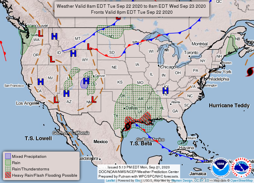
2- Our weather today appears to be influenced by the remnants of tropical storm BETA. There is a low chance for showers here and the cloud boundary may be over us of just to our east. Either way, our highs may be in the 60s or 70s depending on cloud cover. If rain occurs, enjoy it. Nothing severe is expected here. If you plan on traveling, be careful in the eastern and southeastern parts of the state. Upwards of 2-3 inches are possible. We’ll see what occurs for sure.
3-Here is your forecast from the NWS/NORMAN;
Today- Mostly cloudy with a “slight” chance of rain showers and isolated thunderstorms. Highs in the mid-70s with light and variable winds becoming southeast around 10 mph in the afternoon. Chance of precipitation 20 percent.
Tonight- Mostly cloudy. Lows in the upper 50s. Southeast winds around 10 mph in the evening becoming light and variable.
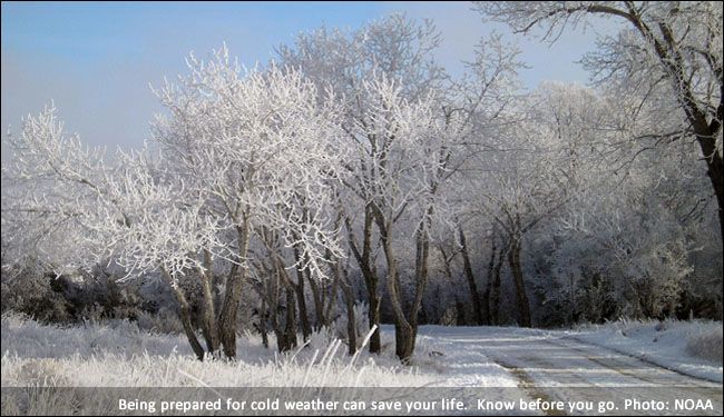
NOTE, I added a winter pic from the NWS website. Just a sign of things to come.
HAVE A GOOD DAY!!
MIKE