0350L-WEDNESDAY OUTLOOK FROM GARFIELD COUNTY EMERGENCY MANAGEMENT-4/3/19
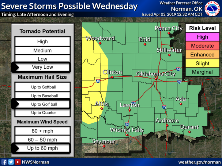
1- MARGINAL RISK FOR SEVERE STORMS LATER TODAY INTO THE OVERNIGHT HOURS.
2- GARFIELD COUNTY EM. This is our notification app. It’s available here on Google Play https://play.google.com/store/apps/details?id=com.ocv.garfieldema and here on iTunes https://itunes.apple.com/us/app/garfield-county-em/id951173598?mt=8
3- We will have a strong cap in place and storms later today will most likely be high based so our main threat should be hail if storms do occur. We’ll watch this closely and advise as needed.
4- Here is your forecast from the NWS/NORMAN;
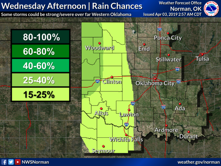
Wednesday- Mostly cloudy with a high near 66. South winds 15 to 25 mph, with gusts as high as 35 mph.
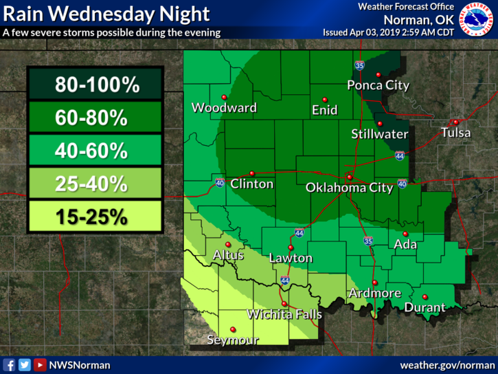
Wednesday Night- Cloudy with a low around 54. South wind 15 to 20 mph decreasing to 10 to 15 mph after midnight. Winds could gust as high as 30 mph. Chance of precipitation is 70%.
HAVE A GOOD DAY!!
MIKE