0310L-WEDNESDAY OUTLOOK FROM GARFIELD COUNTY EMERGENCY MANAGEMENT-12/29/21
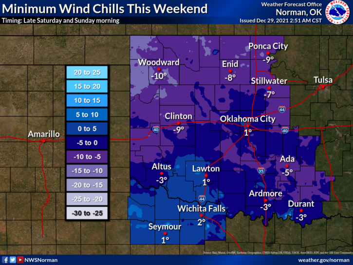
ADVISORY-We are sill on track for cold weather and extremely cold wind chill temps on Saturday into early Sunday. EXTREME CAUTION IS ADVISED while outdoors.
1- This morning, mild weather will continue here through Friday. Winds will be light out of the north and northeast until Thursday morning when they become southerly and gusty then a cold front pushes in early Saturday and you know the rest.
2- Highs will average around the upper 50s to low 60s through Friday. Saturdays high looks to be around 25 and Sunday’s high will be in the mid-30s. We will recover into the upper 40s on Monday if everything goes according to plan.
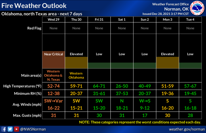
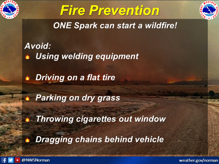
3- Overall, enjoy the rest of the week and I would highly advise you to find that heavy coat for the weekend. The FIRE DANGER is elevated so be careful and also call 911 if you see smoke or fire. Here is your forecast from the NWS/NORMAN;
Wednesday-Sunny. Highs in the upper 50s. North winds around 10 mph shifting to the west in the afternoon.
Wednesday Night-Clear. Lows in the lower 20s. North winds around 10 mph in the evening becoming light and variable
HAVE A GOOD DAY!