0345L-FRIDAY OUTLOOK FROM GARFIELD COUNTY EMERGENCY MANAGEMENT-7/8/22
“MARGINAL RISK FOR SEVERE WEATHER TODAY AND TONIGHT”
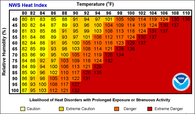
1- HEAT ADVISORY IN EFFECT FROM 1 PM UNTIL 8PM THIS EVENING.
2-Here is your forecast from the NWS/NORMAN;
Friday-30 percent chance of showers and thunderstorms, mainly before 7am. Sunny and hot, with a high near 100. Heat index values as high as 108. North northeast wind 6 to 13 mph, with gusts as high as 20 mph.
Friday Night-20 percent chance of showers and thunderstorms before 1am. Partly cloudy, with a low around 74. Northeast wind 6 to 11 mph.
3- The severe threat mentioned above may play out as the following; we have a front involved and with the high temps, in the 100s, dew points in the low 70s, along with humidity in the upper 30s, a severe wind threat will definitely be a factor along with some hail and heavy rainfall. Storms will fire up, build quickly, rain out and collapse causing the wind issue. Just stay aware if large storms occur near you do collapse.
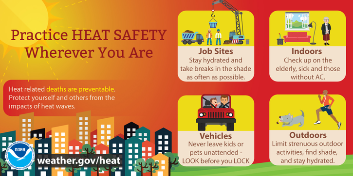
4- Overall, we’ll be ok but it will be extremely uncomfortable today. Stay hydrated and stay cool as best you can.
HAVE A GOOD DAY!