0300L-TUESDAY OUTLOOK FROM GARFIELD COUNTY EMERGENCY MANAGEMENT- 11/4/25
Before I begin, there is a show on DISCOVERY called “In the eye of the storm.” Season 3 started this past weekend. For those of you who feel you are prepared but really aren’t, this show is for you. It shows people who end up in the wrong place at the right time to get real time footage of the devastating effects of tornadoes, wildland fires, flooding, etc. They end up getting a new perspective on how devastating storms and events can be. We’ve been really lucky here in recent years, but that luck will run out. WILL YOU BE READY??
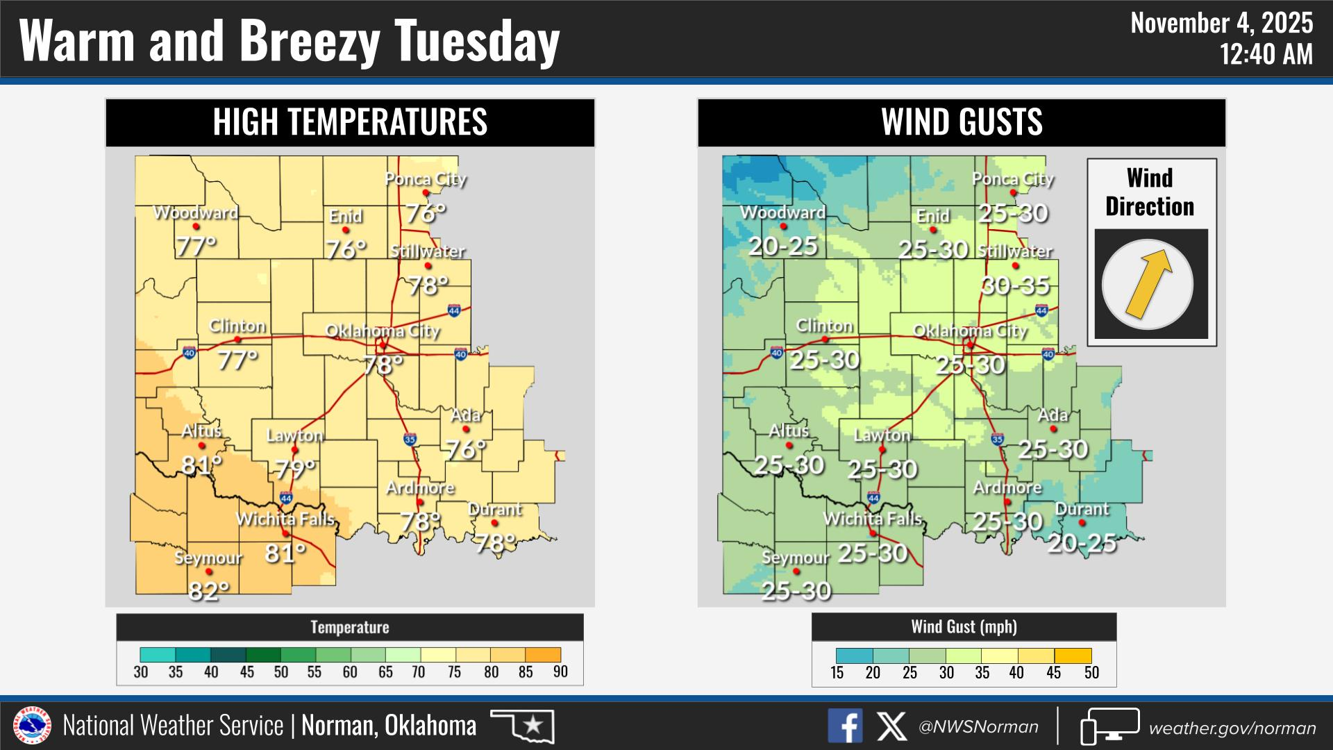
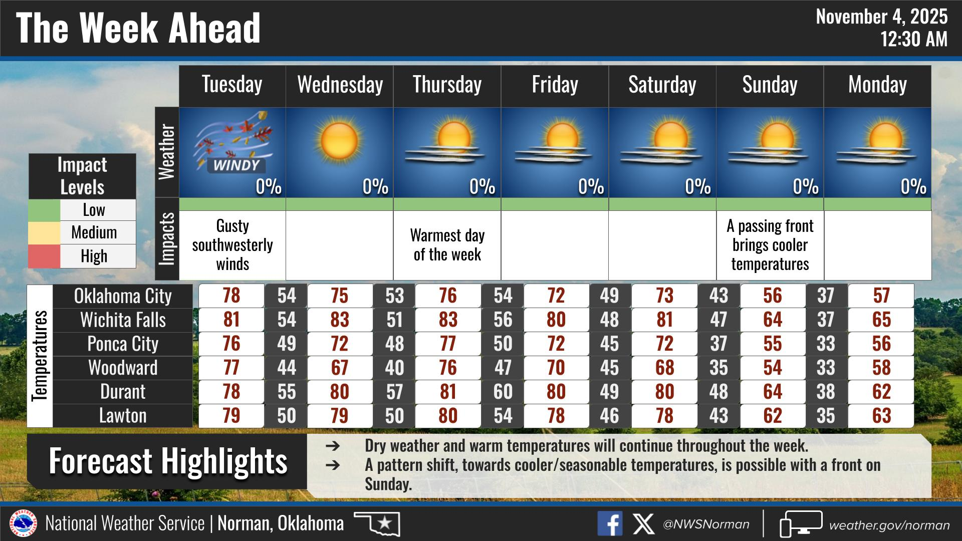
Today’s info-The weak front that was supposed to move through the area yesterday retreated back to the north merging with another system that is moving east and that will allow another front to push in late into the overnight hours tonite or early morning hours on Wednesday. This front will cool us down a little. We’ll warm up Thursday then another front Thursday night will cool us down again. We will deal with the yo-yo affect, per guidance, through next week. With all of this occurring, expect strong gusty winds today with clear skies. These fronts that are forecast should be “dry” so no rain is expected.
Overall, we’ll be ok, so here is your forecast from the NWS/NORMAN:
Tuesday- Sunny. Highs in the mid-70s. South winds 15 to 20 mph with gusts up to 35 mph.
Tuesday Night- Partly cloudy in the evening, then clearing. Lows in the upper 40s. South winds 5 to 10 mph.
GARFIELD COUNTY EM is our notification and preparedness app. If you don’t have it, you’re NOT prepared! REMEMBER that each day’s post appears under the GCEM Blog icon on the app.
HAVE A GOOD DAY!