0250L-FRIDAY OUTLOOK FROM GARFIELD COUNTY EMERGENCY MANAGEMENT 04/26/24
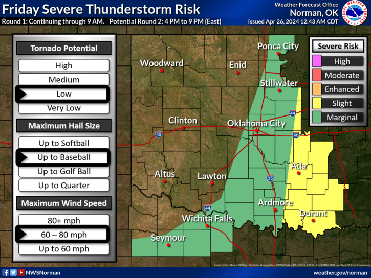
*GENERAL RISK for thunderstorms this morning. The rest of the day looks pretty good as this wave moves out of the area. Showers and thunderstorms have popped up from north Texas up through our area over the last few hours. It appears we will miss the brunt of these storms from this round but PARTS of Garfield County MIGHT see some rainfall over the next hour or so.
*After this wave moves out, our next chance for any severe weather appears to be on Saturday as we’ll be in an ENHANCED RISK. We’ll see what happens then. We have another briefing at 11 today so I’ll send out an update early this afternoon.
*If you plan on traveling east or southeast today, keep up with forecast info at your destination. If traveling west, the fire danger is elevated out there so if you see smoke or fire, call 911. That goes for here in the county too.
*Overall, we’ll be ok so here is your forecast from the NWS/NORMAN;
Today- Partly sunny this morning, then clearing. Breezy with highs in the mid-80s. South winds 15 to 25 mph with gusts up to 35 mph.
Tonight- Mostly clear in the evening, then becoming partly cloudy. Lows in the mid-60s. South winds 15 to 20 mph with gusts up to 30 mph.
HAVE A GOOD DAY!