0320L-FRIDAY OUTLOOK FROM GARFIELD COUNTY EMERGENCY MANAGEMENT-8/27/21
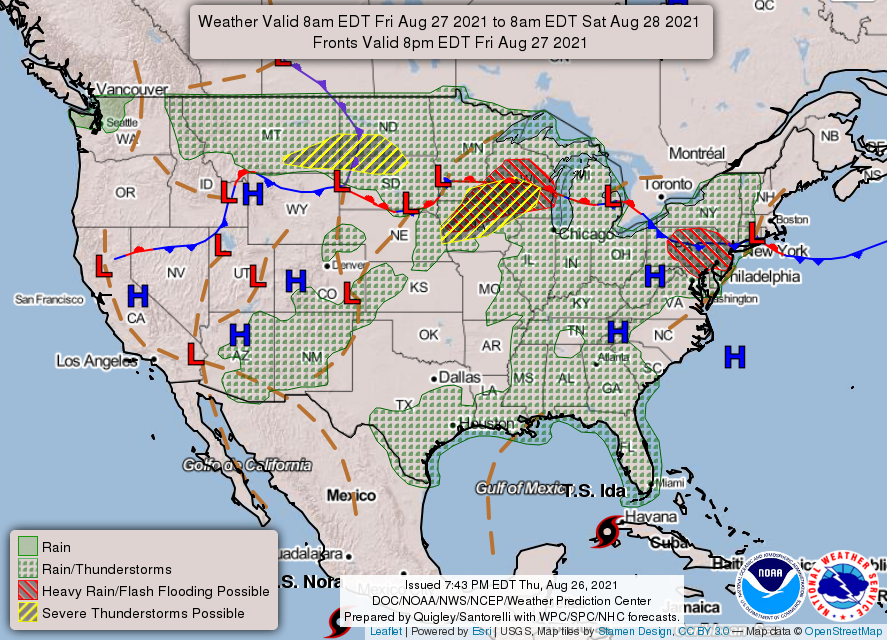
1- The outlook is a mess. Many have asked about the possibility of a hurricane and how it could affect us this weekend. This is a wildcard per some guidance so to speak, on what it will do as it is still way out there. There is a front that could affect us by Sunday too. You can go to the NHC and read that guidance concerning tropical weather- https://www.nhc.noaa.gov/?atlc
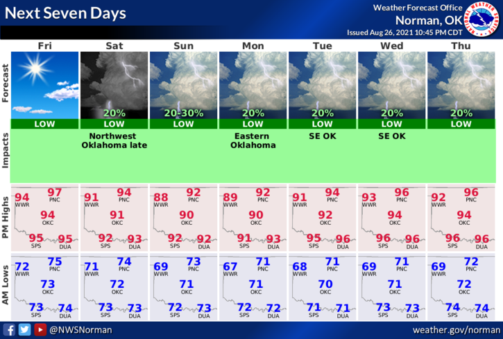
2- Depending on what actually occurs, we will remain hot and mostly dry with rain possible on Sunday. Chances for additional rainfall exist through mid-next week then the really hot temps return. Summer isn’t over yet so we’ll take it day by day and just go with it since we can’t change it.
3- Overall, we’ll be ok so continue to stay hydrated, be careful utilizing anything related to fire, be sure to call 911 if you see smoke or fire, and mostly pay attention to how you feel while working outdoors. Here is your forecast from the NWS/NORMAN;
Today-Sunny. Highs in the upper 90s. South winds 10 to 15 mph with higher gusts.
Tonight-Clear. Lows in the lower 70s. South winds 10 to 15 mph with higher gusts.
HAVE A GOOD DAY!
MIKE