0410L-FRIDAY OUTLOOK FROM GARFIELD COUNTY EMERGENCY MANAGEMENT-7/29/22
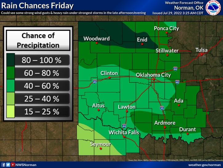
1-We are in a GENERAL RISK for thunderstorms today. Hopefully we do see some precipitation but we will definitely feel cooler temps. I will take the cooler weather but we really need more rain. We’ll see what happens over time. Here is your forecast from the NWS/NORMAN;
Today-Mostly cloudy. Showers with thunderstorms likely this morning, then a chance of showers and thunderstorms this afternoon. Highs in the lower 80s. Northeast winds 5 to 10 mph. Chance of rain 80 percent.
Tonight-Mostly cloudy. A slight chance of showers and thunderstorms in the evening, then showers and thunderstorms likely after midnight. Lows in the mid-60s. Northeast winds 5 to 10 mph. Chance of rain 70 percent.
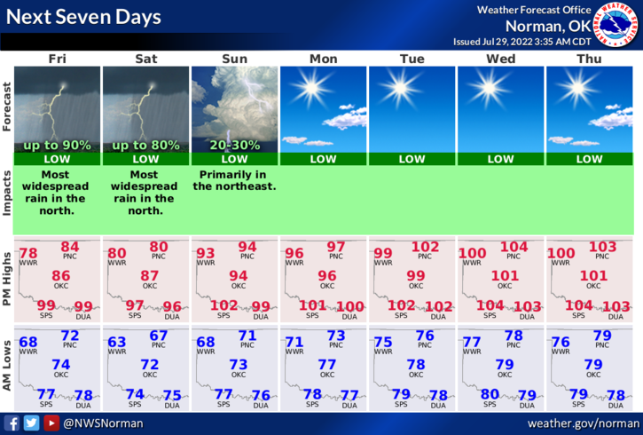
2- Our TEAM 1 of the GARFIELD COUNTY TASK FORCE returned around midnight last night. I will post some pics as they are sent to me on the E.M. PAGE on social media. I will advise on additional deployments as briefings continue. Today, they will rest. Rain is moving into the NW counties right now as I type so hopefully this greatly helps this situation.
3-JUST FYI, If you are having trouble calling me and my phone just rings and rings, CALL ME AT THE FOLLOWING NUMBER- 580-542-5969. My other cell is having issues as I think it got damaged on a fire call late last week or it could be a phone carrier issue. Not sure which. Several have complained it just rings so please be patient while I get the problem fixed.
4-Be sure and get our GARFIELD COUNTY EM app so you can be as prepared as possible when threatening weather or a major event occurs.
HAVE A GREAT DAY!!