0330L-SATURDAY OUTLOOK AND INFO FROM GARFIELD COUNTY EMERGENCY MANAGEMENT-7/30/22
1- Around noon yesterday, I spoke with officials in Woodward County and they stated that the fire is officially out. Command has stood down BUT they are continuing to monitor the region. Even with heavy rain, smoldering areas, HOT SPOTS, could still be out there so this is the reason for the monitoring. Each team of our Task Force here in Garfield County went over to Mooreland twice and we also responded for the Blaine County Fire. This won’t be the last fire we respond to out of county but remember, if the need arises, we’ll respond. GOOD JOB EVERYONE. Rest for now.
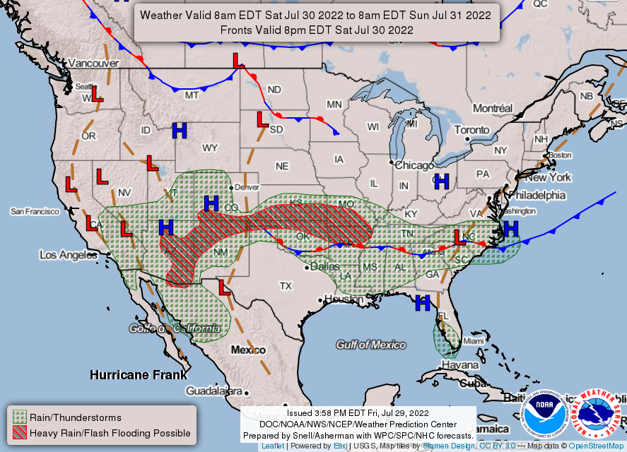
2- We are in a GENERAL Risk area for showers and thunderstorms. In my opinion, bring it!!
We aren’t expecting anything severe here but we hope to continue to receive much needed rainfall over the weekend. The drought monitor increased our drought situation from severe to extreme. This rain will help some but I don’t see a dramatic change in the near future. Just think, we’ll be back in the 100+ category temp-wise by Tuesday or Wednesday. Once we warm back up, watch out for mosquitoes. Those little critters will come back in full force. Overall, we’ll be ok and winter should be here in 3-4 months. Had to throw that in.
3- Here is your forecast from the NWS/NORMAN;
Saturday-A chance of thunderstorms. Showers, mainly in the morning. Highs in the lower 80s. Northeast winds around 5 mph, becoming east in the afternoon. Chance of rain 90 percent.
Saturday Night-Mostly cloudy with a chance of thunderstorms. A chance of showers. Humid with lows in the upper 60s. East winds 5 to 10 mph. Chance of rain 50 percent.
HAVE A GOOD DAY!!