FROM GARFIELD COUNTY EMERGENCY MANAGEMENT
First of all this morning, thank you all for the reports you sent in to me through the GARFIELD COUNTY EM app Damage Report icon. These reports are gold if you take the time to do so. We can log these electronically and it makes it easier to send these to the NWS for assessment purposes. I don’t care if you feel that you didn’t seem to think the damage you experience is important. ALL DAMAGE IS IMPORTANT. Continue to send these in.
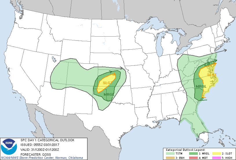
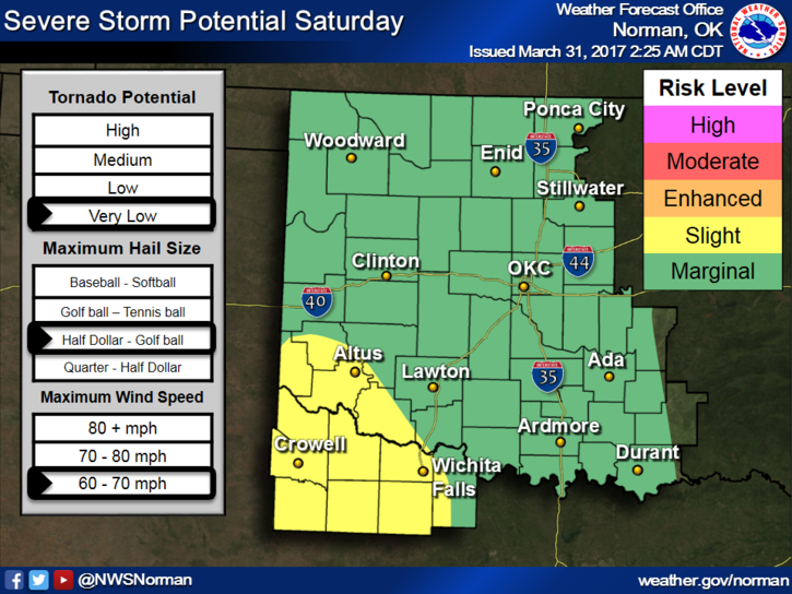
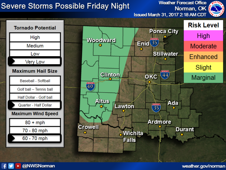
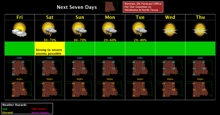
This said we have another chance for rain late tonight and then again tomorrow. We are just outside of a Marginal risk today and in the middle of it for tomorrow so just understand we may see a few storms. If any storms are severe it would most likely be on Saturday. Wind and hail would be our threats. We’ll see how that mess sizes up tomorrow morning. Many things can still change. Also, don’t get worried about where lines are on any map either. These lines are approximate and will change some with time.
With frontal and storm systems moving through the area at this time of the year just remember that we will be a bit cooler so don’t put the coats and sweaters away just yet. Evenings will be a little chilly next week.
Here is your forecast from the NWS/NORMAN;
Friday-Patchy fog before 10am. Otherwise, mostly sunny, with a high near 65. East wind 8 to 16 mph, with gusts as high as 23 mph.
Friday Night-20 percent chance of showers and thunderstorms after 1am. Partly cloudy, with a low around 48. East northeast wind 11 to 17 mph, with gusts as high as 24 mph.
Have a super day!!
MIKE