0400L-FRIDAY OUTLOOK & INFO FROM GARFIELD COUNTY EMERGENCY MGMT-5/15/2020
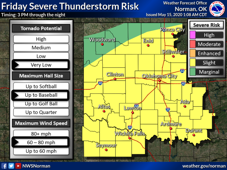
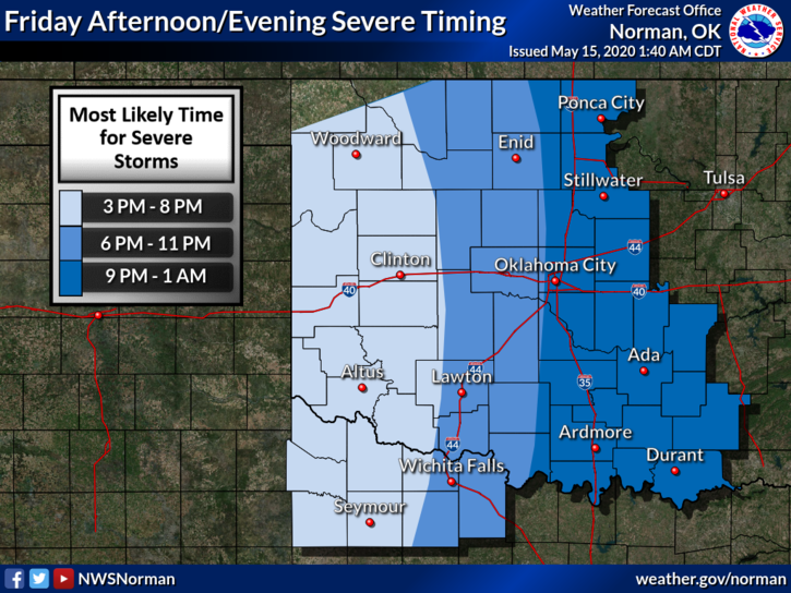
1- We are in another SLIGHT RISK AREA for severe weather later today and tonight. A front is involved and where it ends up today makes a big difference on what happens and where it occurs later this afternoon. To complicate matters, a surface low will be moving our way from the southwest and that will also be a complication. Several variables concerning this so just stay weather aware and we’ll see what happens, where it happens, and how lucky once again we can be.
2- Here is your countywide forecast from the NWS/NORMAN;
Today-Mostly cloudy with a chance of thunderstorms. Highs in the lower 80s. Southeast winds 10 to 15 mph. Chance of thunderstorms 50 percent.
Tonight-Mostly cloudy with a chance of thunderstorms. Lows around 60. Southeast winds 10 to 15 mph. Chance of thunderstorms 50 percent.
3-Overall, we’ll be ok but stay weather aware today and we’ll advise as needed.
HAVE A GOOD DAY!!
MIKE