0355L-FRIDAY OUTLOOK & INFO FROM GARFIELD COUNTY EMERGENCY MANAGEMENT-11/1/19
GARFIELD COUNTY EM-This is our notification app. You’re NOT prepared without it!
1- GOOD NEWS! The Vance WSR 88D Weather Radar is back up. Technicians will down the radar from roughly 0800 until 1000 local time. Hopefully the assessment goes well.
2- As stated yesterday, the FIRE DANGER will slowly increase over time so keep an eye out for smoke/fire. If you see any, call 911. Just be extremely careful utilizing anything related to fire.
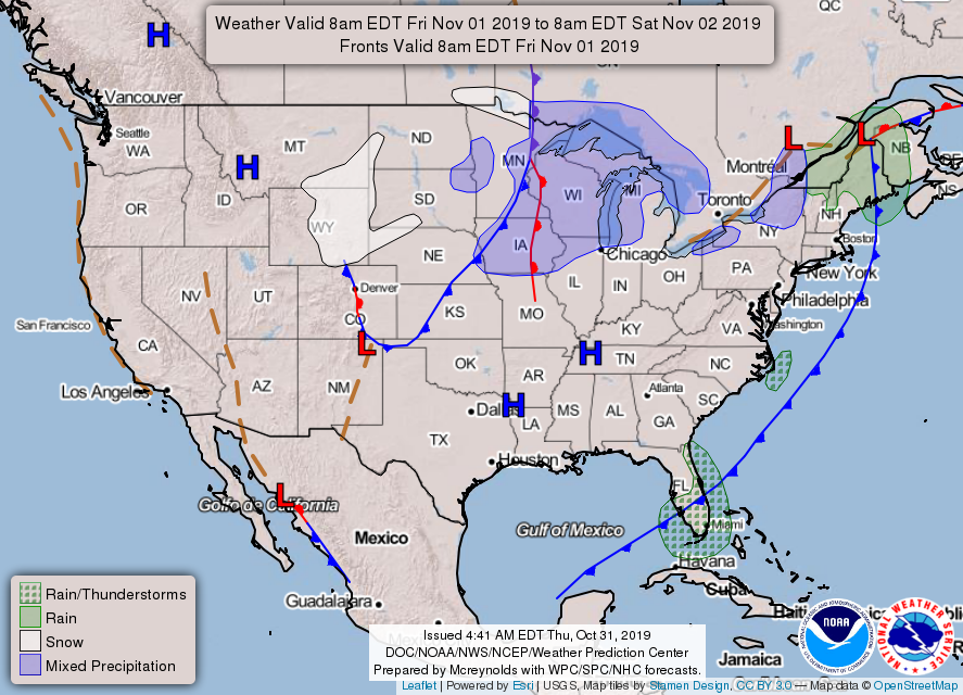
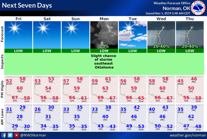
3- Weatherwise for the next week- expect several cold fronts moving through the area. We aren’t expecting any precip with any front until possibly next weekend per guidance so enjoy 50s for highs and mid-20 to low 30s for overnight lows.
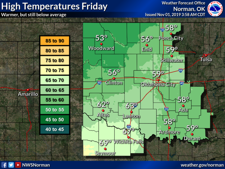
4- Here is your forecast from the NWS/NORMAN
Friday Sunny, with a high near 55. South wind 5 to 10 mph becoming northwest in the afternoon.
Friday Night-Clear, with a low around 30. North wind around 10 mph.
HAVE A SUPER DAY!!
MIKE