0400L-FRIDAY OUTLOOK & INFO FROM GARFIELD COUNTY EMERGENCY MANAGEMENT-9/13/19
1- It rained!! According to a few rain gauges we received anywhere from .77 inches on the western side of the county to around 5 inches on the eastern side. I received 2.65 at our Operations Center and 1.7 here at home. The crazy thing was that it all occurred at once it seemed. The lightning was crazy!! We had a wind gust of 78mph just south of VAFB and several other 64 mph gusts during the storms. It could have been worse.
Another home was struck by lightning northwest of town and firefighters from Enid, Hillsdale-Carrier, Lahoma, and Kremlin responded. No injuries other than the house occurred that I am aware of. I don’t have any other details yet.
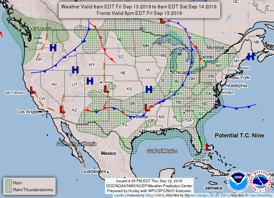
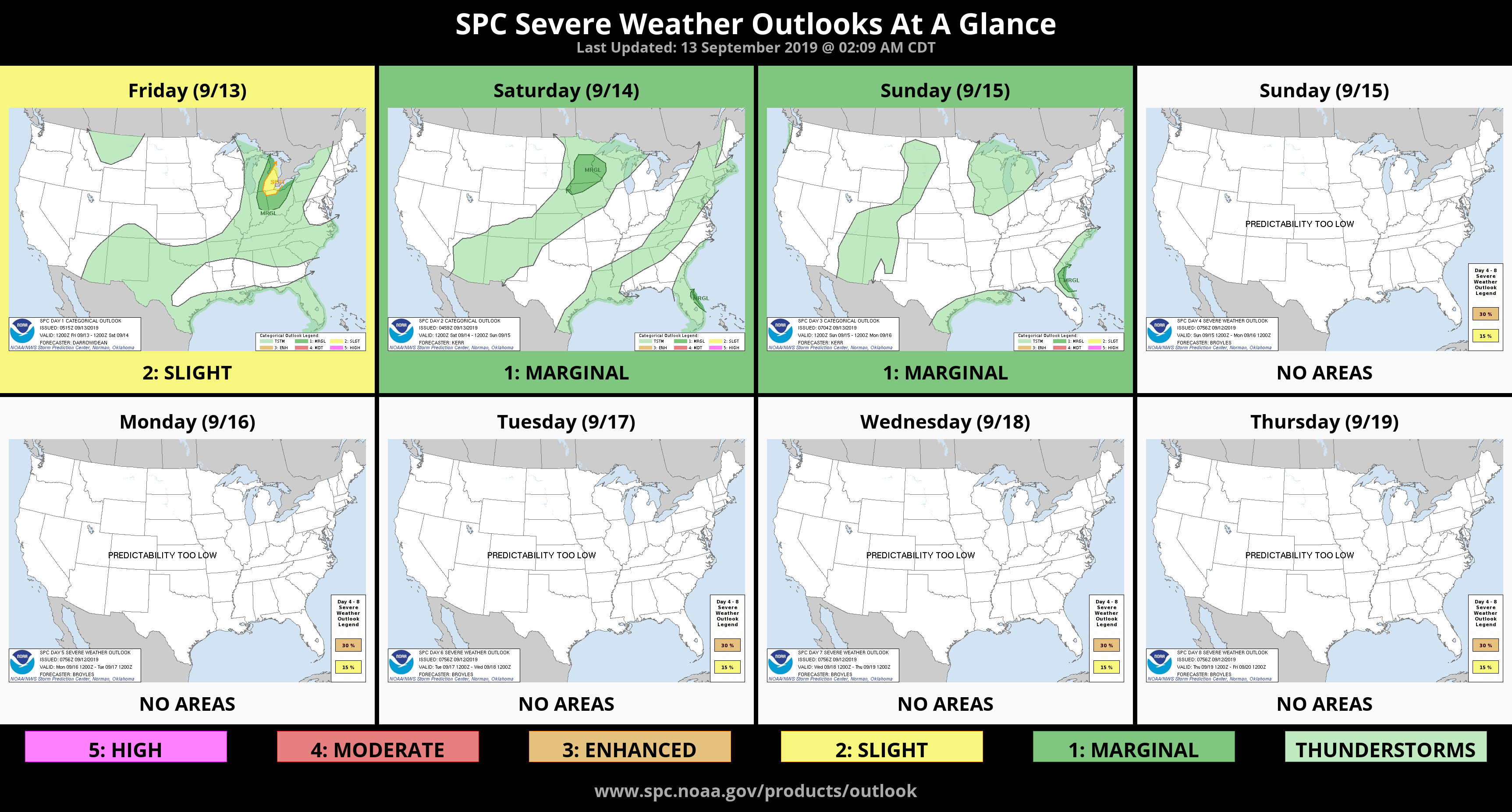
2- We are barely in a General thunderstorm risk area today but any heavier weather should stay to our south in southern Oklahoma. We might see a few sprinkles around but the temps will be the most noticeable. We will be cooler.
3- If you plan on driving around, pay attention. It will be very muddy out in the county & along with rushing water along creek and lower lying areas. Overall, just be careful.
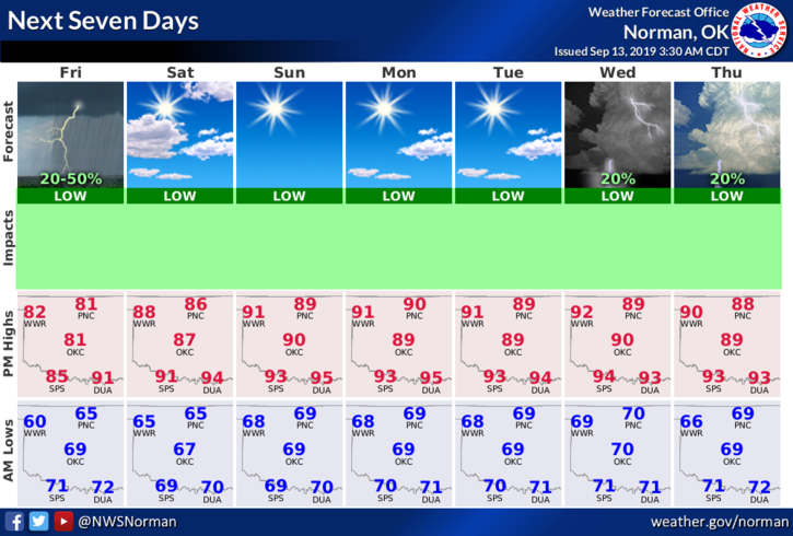
4- Here is your countywide forecast from the NWS/NORMAN;
Today- 20% chance of thunderstorms in the morning. Highs in the lower 80s. Northeast winds around 10 mph shifting to the east this afternoon.
Tonight- Lows in the mid-60s. Southeast winds around 10 mph in the evening becoming light and variable.
HAVE A SUPER DAY!!
MIKE