0320L-MONDAY OUTLOOK FROM GARFIELD COUNTY EMERGENCY MANAGEMENT-8/16/21
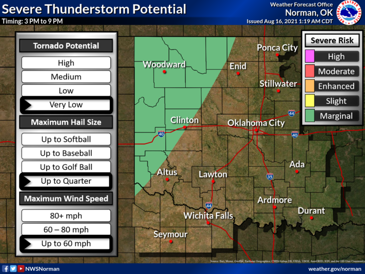
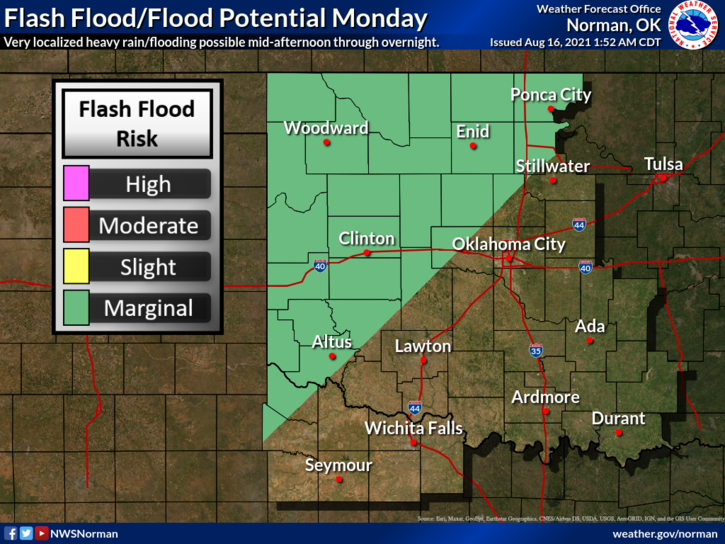
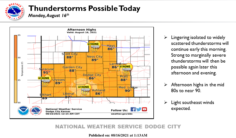
1- A few showers and thunderstorms are possible this morning and again this afternoon as a mid-level disturbance moves through the region. A MARGINAL risk for some severe weather is also possible for our area today too. If storms do go severe, it would most likely be due to wind and possibly hail. Movement on these storms will be slow due to weak upper flow and there might be some localized flooding if they do in fact form and move through the area.
2- At the time of this typing, 0310Local time, there are some showers that have popped up in Grant and Alfalfa Counties. These are moving south very slowly so we may see some activity as stated, this morning. Take an umbrella with you to work just in case.
3- Here is your forecast from the NWS/NORMAN;
Monday-Partly cloudy. Highs in the lower 90s. Southeast winds around 10 mph.
Monday Night-Partly cloudy. Lows in the upper 60s. Southeast winds around 10 mph in the evening becoming light and variable.
HAVE A GOOD DAY!!
MIKE