0400L-MONDAY UPDATE FROM ENID/GARFIELD COUNTY EMERGENCY MANGEMENT-9/24/2018
1-We’re going to be cloudy this morning once again BUT the sun will shine later today, hopefully earlier.
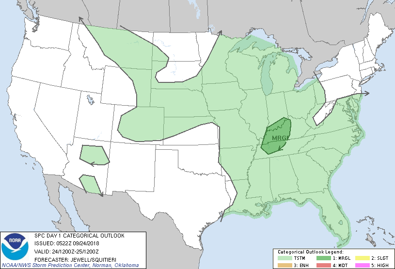
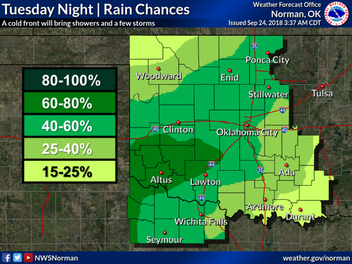
2- Another cold front will push into the area later on Tuesday bringing the possibility of a storm or two and cooler weather for a day or so. No severe weather is forecast at this time.
3- Our GARFIELD COUNTY EM app has our posts each morning on the GCEM Blog icon. There is usually more info and graphics so make sure you have our app or you can visit gcem.org/blog for this information.
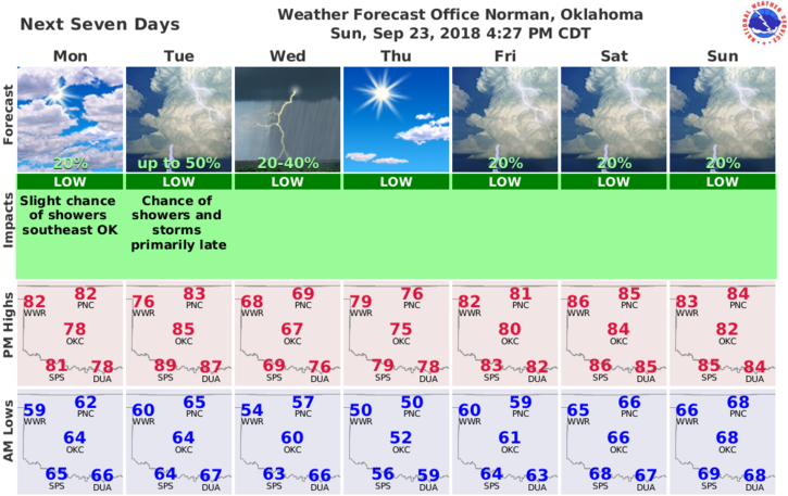
4-Here is your forecast from the NWS/NORMAN;
Monday- Partly cloudy with highs in the lower 80s. South winds 10 to 15 mph in the afternoon.
Monday Night-Mostly clear with lows in the mid-60s. South winds around 10 mph.
FINALLY- The first freeze is coming. It won’t be next week but after it arrives, foliage will die and the fire danger will increase. I just want to plant a seed in your minds to please be careful and also, and this applies to right now, report any smoke or fire that you see to dispatch at 911. For our farmer friends that need local numbers to call in a controlled burn, go here and look at the last page; https://gcem.org/wp-content/uploads/2017/08/Garfield-County-Family-Preparedness-Guide-2017.pdf
HAVE A SUPER DAY!!
MIKE