0425L-TUESDAY UPDATE FROM ENID/GARFIELD COUNTY EMERGENCY MANAGEMENT-9/25/18
OPENING STATEMENT: A cold front is forecast to push through the area today. With it comes a strong windshift of northerly winds gusting upwards of 35 mph. There could also be a very slight chance for showers but for our area, I’m not holding my breath yet.
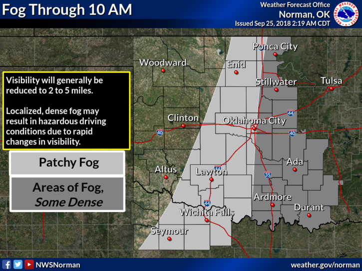
1- Foggy conditions possible through mid-morning again today.
2-The windshift mentioned above should occur this afternoon per guidance.
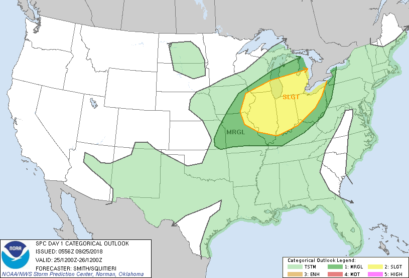
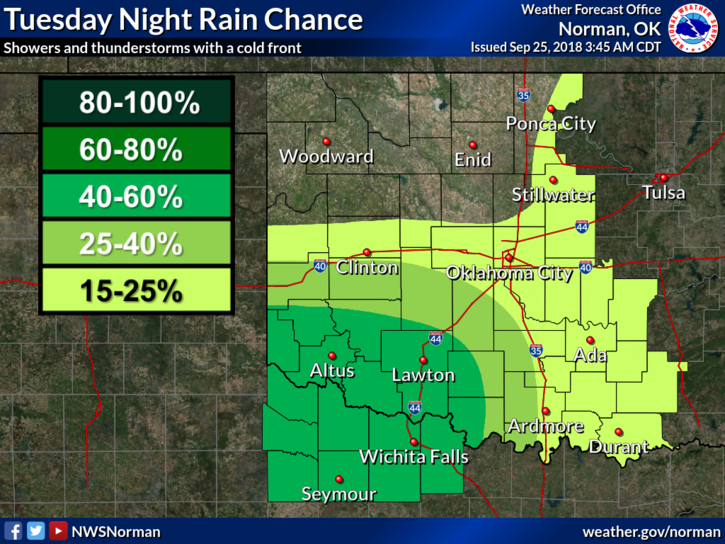
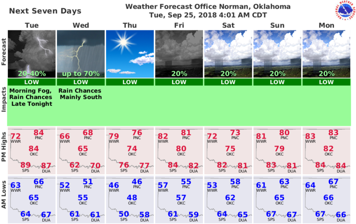
3- The higher chance for rainfall should occur south and east of our area.
4- Here is your forecast from the NWS/NORMAN;
Today-Partly cloudy and windy. Patchy fog early in the morning. Highs in the mid 80s. South winds 10 to 15 mph increasing to northwest 20 to 30 mph in the afternoon.
Tonight-Partly cloudy and cooler. Lows in the lower 50’s along with north winds 15 to 25 mph decreasing to 10 to 15 mph after midnight.
DOWNLOAD OUR APP-“GARFIELD COUNTY EM”-YOU’RE NOT PREPARED WITHOUT IT!!
HAVE A GREAT DAY!!
MIKE