0425L-SATURDAY UPDATE FROM ENID/GARFIELD COUNTY EMERGENCY MANAGEMENT-4/28/18
1-Today is going to be another great day to get outside and enjoy the weather. Winds will be light out of the west and high temps will be in the mid to upper 70’s. I think I’ll mow today!!
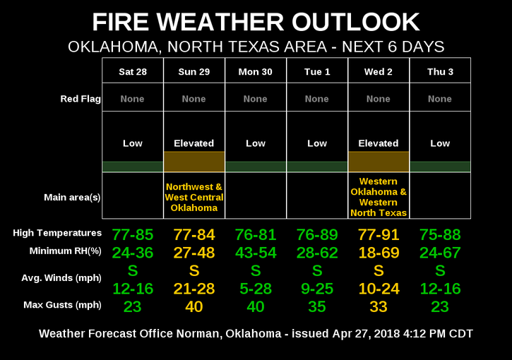
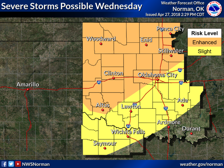
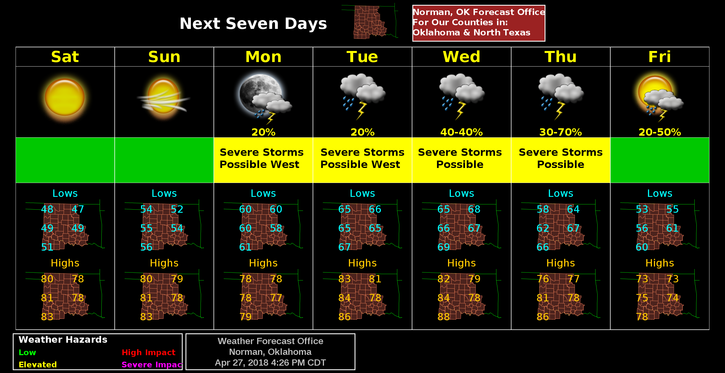
2-As stated in previous posts, we are expecting some severe wx in NW Oklahoma, Mon/Tues/ and Wed. For our area, it looks like maybe Tuesday and for sure “Wednesday” will be our severe weather timeframe. Conditions will be favorable for supercell structures that will produce large hail, damaging winds, and maybe a few tornadoes. Don’t get stressed yet as this is still 4-5 days out. The capping inversion will play a big role during this timeframe. More on this tomorrow.
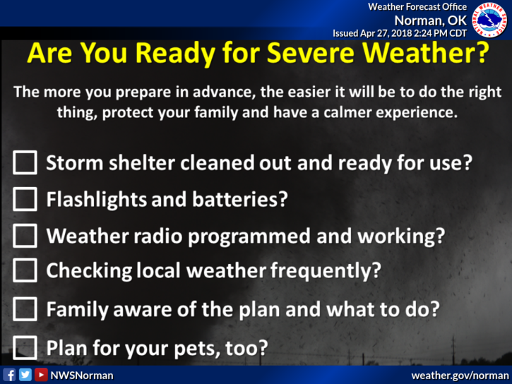
3-Preparedness is a key factor. You have plenty of time to think your severe wx options through and do the proper planning and you’ll be ok.
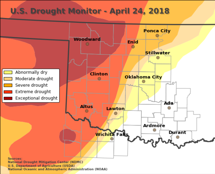
4-We are still bordering between severe and extreme drought conditions but we are greening up. You will see smoke in the air from mostly controlled burns but if they look real large and no one is around, call 911. They should be aware of all controlled burning.
5- Here is your forecast from the NWS/NORMAN;
Saturday-Sunny, with a high near 78. West wind 5 to 8 mph becoming east in the afternoon.
Saturday Night-Mostly clear, with a low around 52. East southeast wind around 10 mph.
HAVE A SUPER DAY!!
MIKE