0430L-SUNDAY UPDATE FROM ENID/GARFIELD COUNTY EMERGENCY MANAGEMENT-4/29/18
1-Apparently some folks don’t like to read my sometimes long winded discussions. Believe it or not, it’s nothing compared to most of the NWS/SPC info. Starting later today, I will try to put a short video together going over the scenarios so you’ll hear it instead of having to read it. I may just do a LIVE video and just keep it short. No big deal but being in the know about things means reading a bit more.
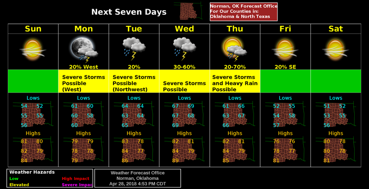
2- Overall, this week, it appears that our greatest threat will be on WEDNESDAY. This is based on guidance this morning. Many things can change but there will be a strong cap in place over us so we’ll see how the sunsets look with thunderstorms out west.
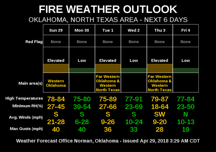
3- TODAY- windy with a slightly elevated fire danger. The BURN BAN is NO LONGER in effect for us so burn wisely. Today is NOT a good day to burn. Be sure to let dispatch know so we don’t come out and put your fire out. BTW, make sure you are there too. We WILL put your fire out on an Unattended burn. EMERGENCY CONTACTS on our GARFIELD COUNTY EM app will get you to each fire departments number. They ring to fire dispatch.
4- Here is your forecast from the NWS/NORMAN;
Sunday-Mostly sunny with a high near 81. South wind 5 to 15 mph increasing to 15 to 25 mph this afternoon. Winds could gust as high as 30 mph.
Sunday Night-Mostly clear with lows around 59. South southeast wind 15 to 20 mph gusting to 30 mph.
HAVE A GREAT DAY!!
MIKE