FROM GARFIELD COUNTY EMERGENCY MANAGEMENT
The Storm Prediction Center has placed us in a General Thunderstorm Risk area for later today. Severe storms are not expected. If storms occur, expect possibly heavy rainfall, gusty winds, and lightning. Confidence isn’t real high but they are possible. Today looks to be a good day temperature wise and so get out and enjoy it. Winds could be a bit gusty so keep that in mind. Overall, a great day.
As stated earlier this week, I deleted our database on my GCEM BLOG. I did this because that system was compromised and we were receiving over 120 spam email addresses being put into the system each day. Once my webmaster fixes this issue, I will let you know when you can sign back up, if you want too. Many folks enjoyed getting our information via email after posting it at 0545 each day. You can still read it at gcem.org or tap the BLOG icon on our app GARFIELD COUNTY EM and it will show up there too.
Our website will be updated soon so for those that have expected this for the last several months, it will happen.
Finally, we will be hosting STORM SPOTTER TRAINING here in ENID on March 21st, 2017. It will be held at 216 West Oxford. Due to the number of folks expected, we will hold this meeting in the Sheriff’s Training room. It holds over 125 folks. A meteorologist from the NWS in Norman will conduct the training and IS OPEN TO THE PUBLIC. I will set up an event on Facebook today.Feel free to pass this information along.
Here is your forecast from the NWS/NORMAN;
Today-A 20 percent chance of showers after 3pm. Partly sunny, with a high near 62. South southwest wind 5 to 10 mph becoming east southeast in the afternoon.
Tonight-Showers likely and possibly a thunderstorm. Cloudy, with a low around 41. East southeast wind 7 to 17 mph becoming north after midnight. Winds could gust as high as 24 mph. Chance of precipitation is 70%. New precipitation amounts between a tenth and quarter of an inch, except higher amounts possible in thunderstorms.
HAVE A SUPER DAY!!
MIKE
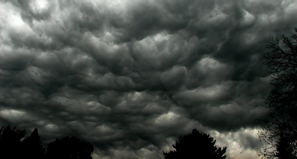
PS- The attached pic was pretty cool looking.