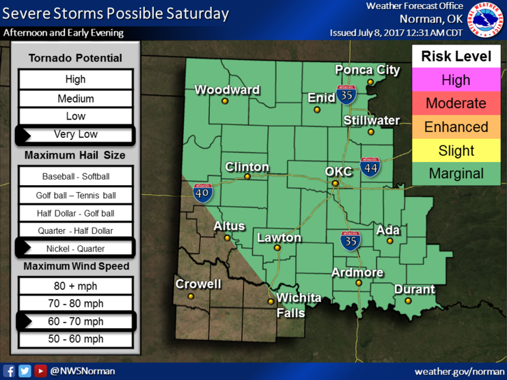
FROM GARFIELD COUNTY EMERGENCY MANAGEMENT-SATURDAY JULY 8, 2017
We are in a Marginal Risk for severe weather again today. As I type this morning, scattered storms are around the area. This will be ongoing during the morning hours. The main risks will be hail and winds in and around the heavier cells. Other than this, a pretty decent weekend with high temps and humidity.
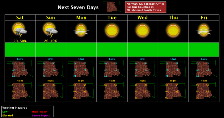
Here is your forecast from the NWS/NORMAN;
Saturday-40 percent chance of showers and thunderstorms, mainly before 1pm. Partly sunny, with a high near 92. East northeast wind around 9 mph becoming southeast in the afternoon.
Saturday Night-Partly cloudy, with a low around 72. South southeast wind 6 to 10 mph.
HAVE A SUPER DAY AND WE’LL KEEP AN EYE OUT ON THIS MESS OUTSIDE.
MIKE