0350L-SATURDAY UPDATE AND OUTLOOK FROM ENID/GARFIELD COUNTY EMERGENCY MANAGEMENT-6/2/18
1- A COOL FRONT will push through this morning and will take the worst of the humidity and heat with it. High temps will average AROUND 90 TODAY AND TOMORROW.
2-After the front pushes through; WINDS will increase from the north 15-25 mph with some gusts over 30mph. This will help to dry things up for harvest to continue.
3-Overall, not a bad day today, just windy and a little cooler. Yesterday was almost oppressive outside but at least we had wind also known as the” blast furnace effect”. That won’t be the last time that happens. Either way, stay cool.
4- Here is your forecast from the NWS/NORMAN;
Saturday-Sunny, with a high near 90. South wind 10 to 15 mph becoming north 15 to 25 mph in the morning. Winds could gust as high as 35 mph.
Saturday Night-Clear, with a low around 60. North wind 5 to 15 mph, with gusts as high as 25 mph.
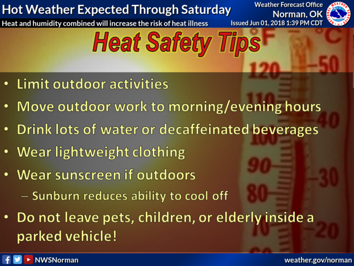
Stay safe and cool
MIKE