0350L-SATURDAY OUTLOOK & INFO FROM GARFIELD COUNTY EMERGENCY MANAGEMENT-6/27/2020
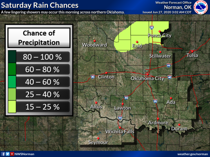
1- There is a chance we could see a shower or t-storm this morning. IF that were to happen, gusty winds would be the main threat. Overall just hot and humid throughout the day.
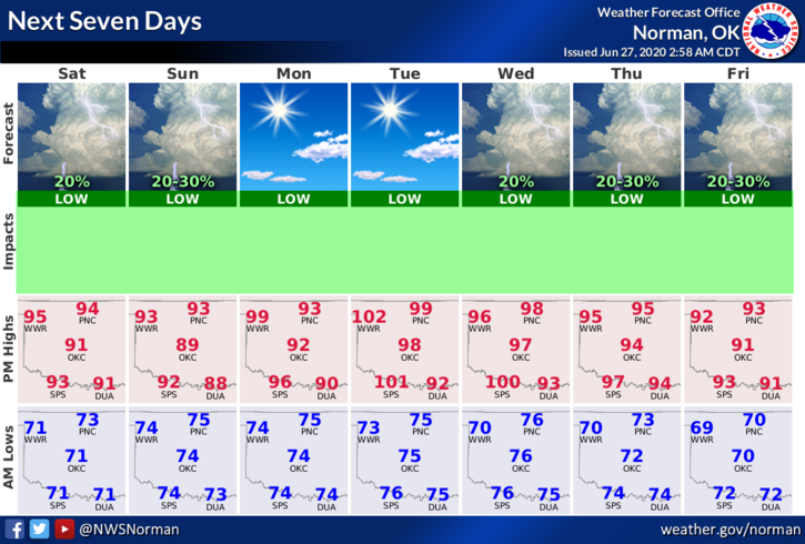
2- For the up and coming week, expect low chances for rain and hot temps through roughly Thursday per guidance so get out and enjoy the heat. For those that hate the heat, winter is coming in about 4 months.
3- Here is your forecast from the NWS/NORMAN;
Saturday-Isolated showers and thunderstorms before 10am. Mostly cloudy then gradually becoming sunny with a high near 96. South southwest wind 5 to 10 mph increasing to 15 to 20 mph in the afternoon. Winds could gust as high as 29 mph. Chance of precipitation is 20%.
Saturday Night-Mostly clear with a low around 74. South winds 16 to 21 mph, with gusts as high as 29 mph.
HAVE A GOOD DAY!!
MIKE