0256L-SATURDAY OUTLOOK FROM GARFIELD COUNTY EMERGENCY MANAGEMENT-6/03/23
PREPAREDNESS begins with you downloading our GARFIELD COUNTY EM app. Don’t leave home without it.
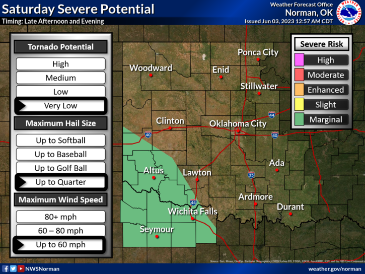
* Rainfall will continue off and on today as this system slowly moves through the area. Not anticipating severe storms but if they did occur, winds would be the main issue. Where outflow boundaries are located will be where additional storm development may occur during and later in the day. If the sun breaks through anywhere out there, those areas could also become a focus point as diurnal heating could cause convection to occur too.
* At 0245L there is a line of weaker storms that are moving to the NW from the SSE and may get a little rowdy for a while early this morning, say around the 3 to 4 am timeframe for most of the county. A few of these cells may be heavy rainmakers for a bit.
*Overall, we’ll be ok so enjoy the rain if you get any. Here is your forecast from the NWS/NORMAN;
Saturday- Mostly cloudy with a chance of thunderstorms. Showers likely, mainly in the morning. Highs in the upper 70s. South winds 5 to 10 mph. Chance of rain 70 percent.
Saturday Night- Mostly cloudy. A chance of showers and thunderstorms after midnight. Lows in the lower 60s. East winds around 5 mph. Chance of rain 50 percent.
HAVE A GOOD DAY!