FROM GARFIELD COUNTY EMERGENCY MANAGEMENT-SATURDAY
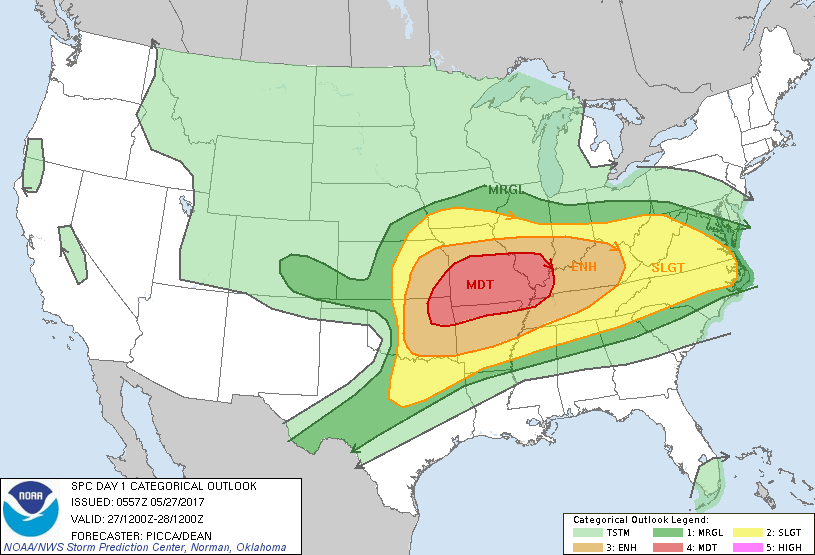
1-“DANGEROUS WEATHER” IS IN THE FORECAST FOR THE REGION LATER TODAY AND TONIGHT. READ THIS POST CAREFULLY AND COMPLETELY. Garfield County is in an ENHANCED risk later today. There is a MODERATE risk that covers several states including eastern Oklahoma.
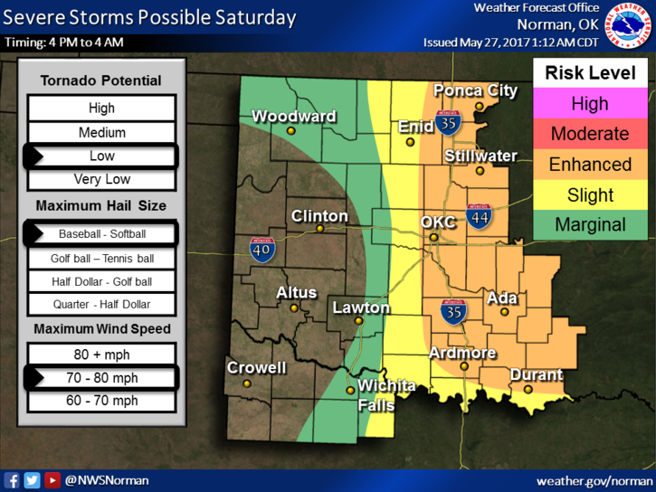
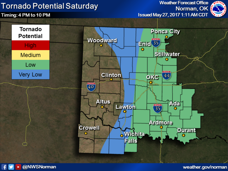
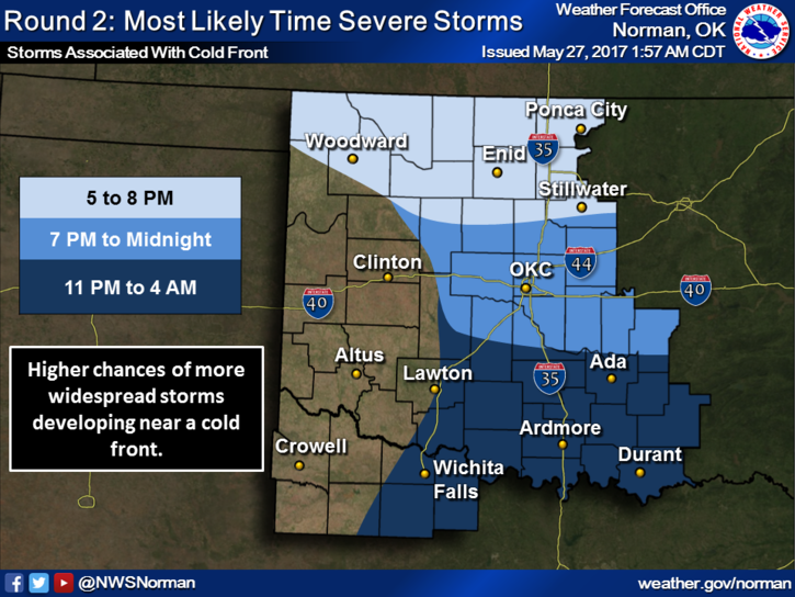
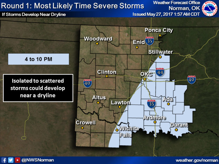
2-Look carefully at the graphs below. Understand some of these may change a little during the day.
3- There are 2 scenarios depending on how storms may form later today. They may be cold front driven or dryline driven and everything depends on where these boundaries are later this afternoon.
4-Guidance right now shows storm initiation could occur here in our area along or near highway 81. DON’T PANIC!! If this occurs, we’ll have spotters out keeping an eye on these as they will become severe very quickly.
5. If you are east of our area in Eastern Ok. Make sure you stay up with the latest from the NWS/TULSA.
5/27/17 SPC DAY 1 OUTLOOK-http://www.spc.noaa.gov/products/outlook/day1otlk.html
5/27/17-NWS FORECAST DISCUSSION-https://forecast-v3.weather.gov/products/locations/OUN/AFD/1
Both of these will change a little as the day progresses. Take the time to read these. It is interesting.
NOW is a good time to download our GARFIELD COUNTY EM app. This way you automatically receive NWS WARNINGS along with LOCAL information from us. Listen to LOCAL radio stations wherever you are and keep an eye to the sky later today.
Here is your forecast from the NWS/NORMAN;
Saturday-Mostly cloudy, then gradually becoming sunny, with a high near 89. Southeast wind 7 to 16 mph becoming northwest in the afternoon. Winds could gust as high as 23 mph.
Saturday Night-20 percent chance of showers and thunderstorms before 1am. Partly cloudy, with a low around 61. North wind 11 to 18 mph, with gusts as high as 25 mph.
Have a SUPER DAY, PREPARE FOR STORMS, DON’T PANIC, and we’ll advise as needed.
MIKE