0400L-SATURDAY OUTLOOK FROM GARFIELD COUNTY EMERGENCY MANAGEMENT-5/4/19
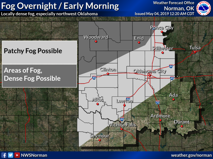
DENSE FOG ADVISORY IN EFFECT UNTIL 9 AM THIS MORNING. EXTREME CAUTION IS ADVISED WHILE DRIVING.
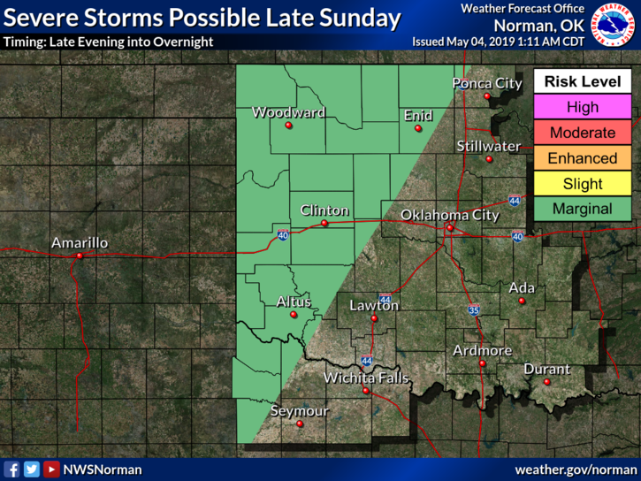
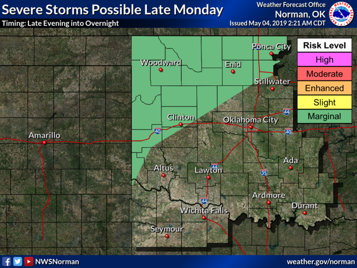
1- Do you ever wonder why people pray for rain? I think the valve has broken. Rain chances will continue through this up and coming week. It appears per guidance, that we have a higher risk for severe weather this week. That risk starts later tonight out west and moves east for tomorrow. We’ll see what happens.
2- This past week we have received 4.5 to 5 inches of rainfall here in Garfield County. Some totals could be higher in some areas. Several folks like to go mudding on county roads. Please don’t. It costs money to repair those roads and some of them aren’t in the best shape to begin with. Low lying areas may have some flood issues and be impassable, so use caution when driving out there.
3- Overall for today, we may see the sun. There was a bright light in the western sky around 8pm last evening so hopefully it appears again today.
4- Here is your forecast from the NWS/NORMAN;
Saturday-Patchy dense fog before 9am. Otherwise, cloudy through mid-morning, then gradual clearing, with a high near 71. Light and variable wind becoming north around 6 mph in the morning.
Saturday Night-20 percent chance of showers and thunderstorms after 1am. Partly cloudy, with a low around 52. Southeast wind 3 to 6 mph.
HAVE A GOOD DAY!!
MIKE