0320L-SATURDAY OUTLOOK FROM GARFIELD COUNTY EMERGENCY MANAGEMENT-11/07/2020
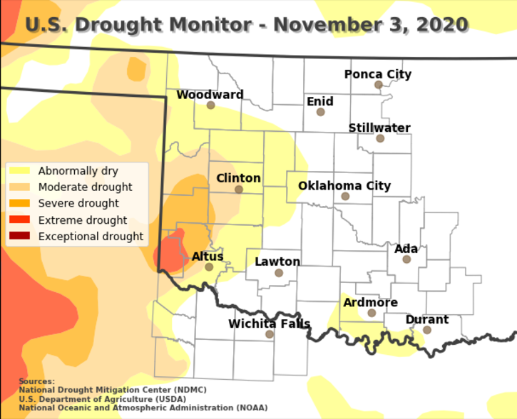
1- Starting off with the latest drought monitor, we are no longer in a drought per the monitor. I have attached a graphic showing this. We are still very dry so be extremely careful with ANYTHING fire related. If you see smoke or fire, call 911.
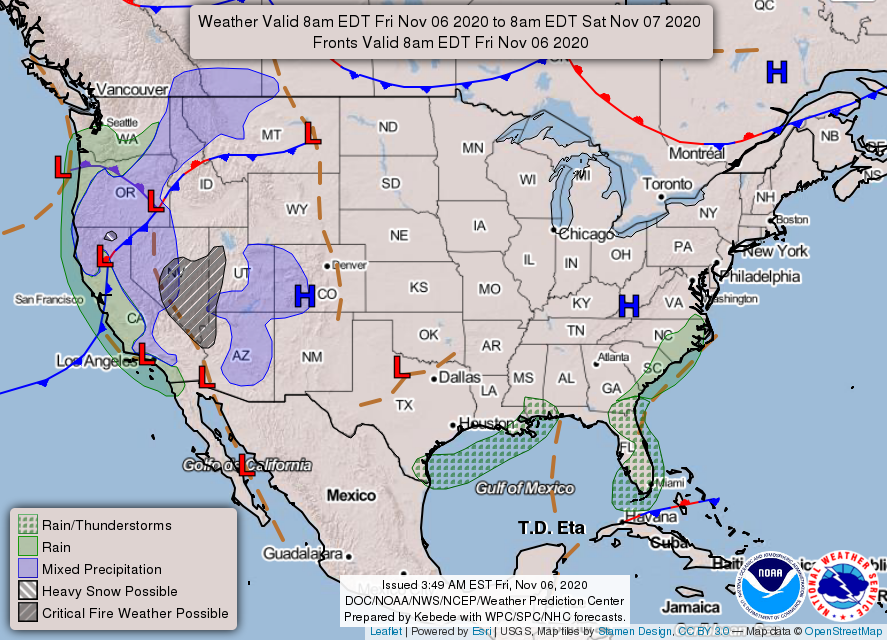
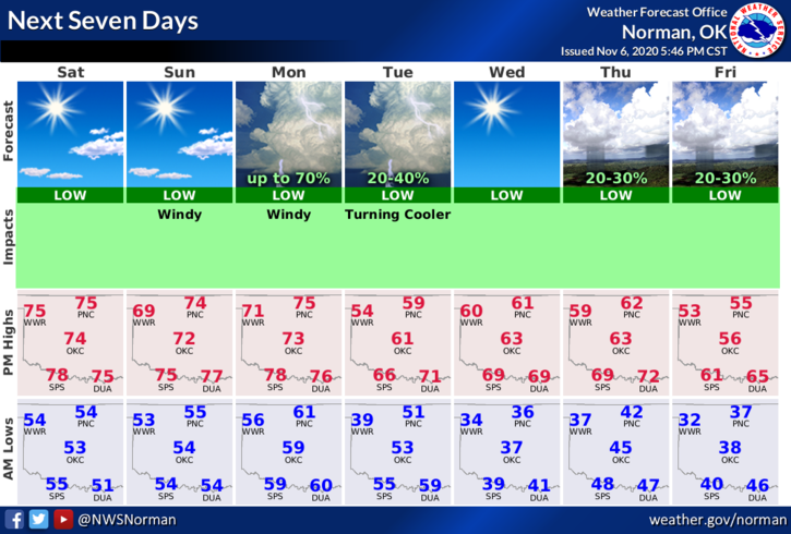
2- Rain is in the forecast for the Monday/Tuesday timeframe and Thursday/Friday. We’ll start out temperature-wise with highs around 70 and lows in the 50s then it’s up and down 50s and 60s for highs and 30s and 40s for lows into next weekend. We will also have a risk for severe weather late Monday so we’ll also keep an eye out for this too. Strap in for the ride and we’ll see where we end up.
3- Overall, we’ll be ok so keep a light jacket or sweater along with a heavier coat in the car or truck as you may need either/or this up and coming week. It may also be a good idea to keep an umbrella handy. Here is your forecast for SATURDAY from the NWS/NORMAN;
Today- Mostly sunny. Highs in the mid-70s. South winds 10 to 20 mph gusting to 25 mph.
Tonight- Clear. Lows in the lower 50s. South winds 10 to 15 mph gusting to 20 mph.
HAVE A GOOD DAY!
MIKE