0345L-SUNDAY OUTLOOK AND INFO FROM GARFIELD COUNTY EMERGENCY MGMT 8/25/19
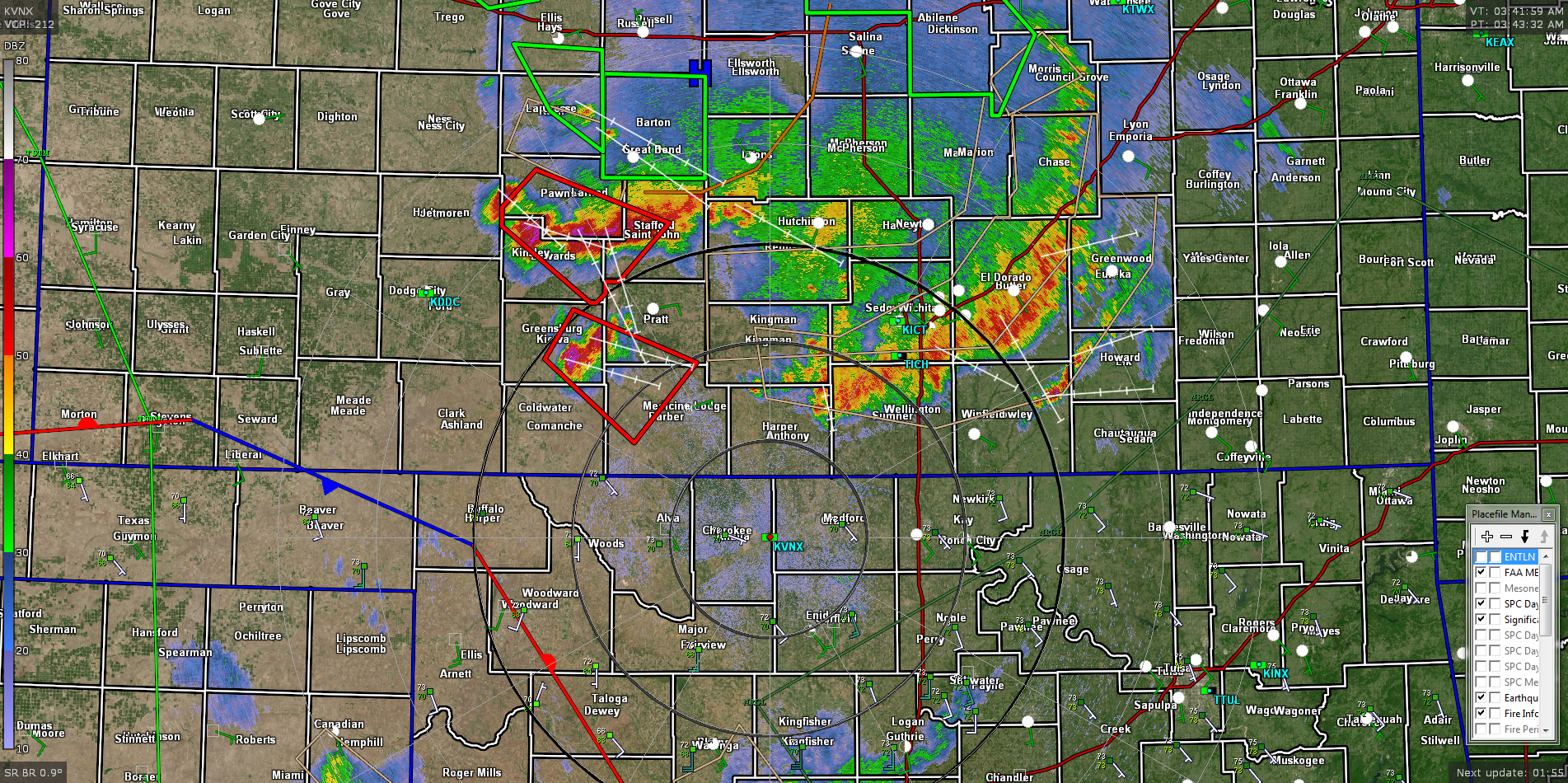
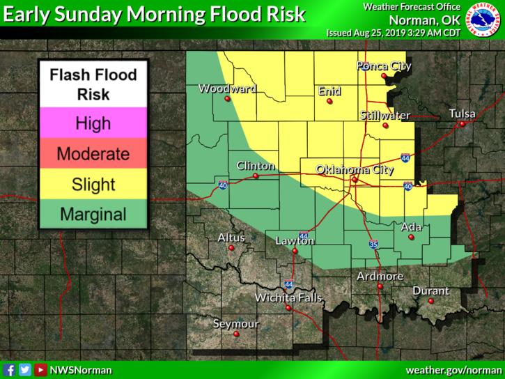
1- Some severe weather is still expected this morning as a MCS (Meso-Convective System) moves through southern Kansas. As it appears right now, we may receive some storm activity as this system moves southeast. We will most likely miss the higher winds but may still experience strong winds as the concerning area on the western periphery of the complex intensifies and moves in our direction. Overall, we should be ok but you all need to stay weather aware for a while this morning. We are still in a FLASH FLOOD WATCH so keep this in mind while driving. The radar pic is from 0343 local time.
2- By the time most folks read this, the complex may either be here or will have passed through the area. We’ll keep an eye out. J
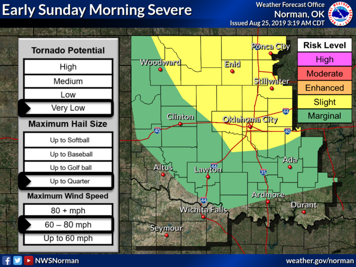
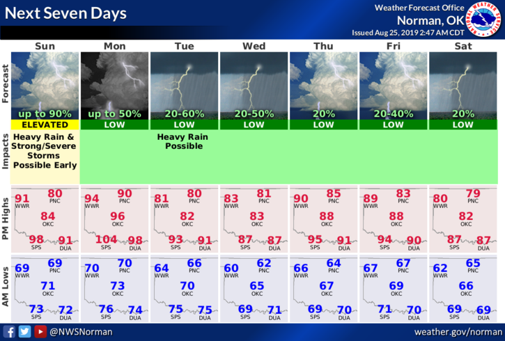
3- For now, here is your forecast from the NWS/NORMAN;
Sunday-Showers and thunderstorms mainly before 10am. Some storms could be severe with heavy rainfall. High near 85. Southeast wind 5 to 15 mph. Chance of precipitation is 80%. New rainfall amounts between 1 and 2 inches possible.
Sunday Night-Mostly clear with a low around 71. Southeast wind 5 to 10 mph.
Have a good day and we’ll advise as needed.
MIKE