0325L-SUNDAY UPDATE FROM ENID.GARFIELD COUNTY EMERGENCY MANAGEMENT-8/5/18
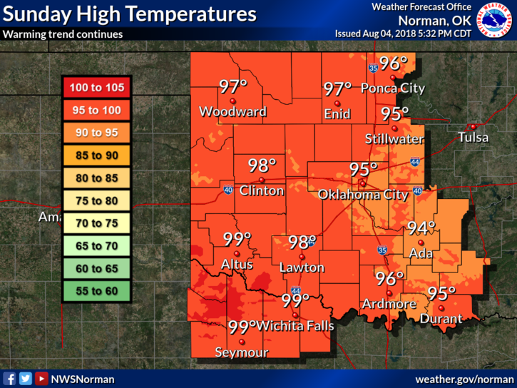
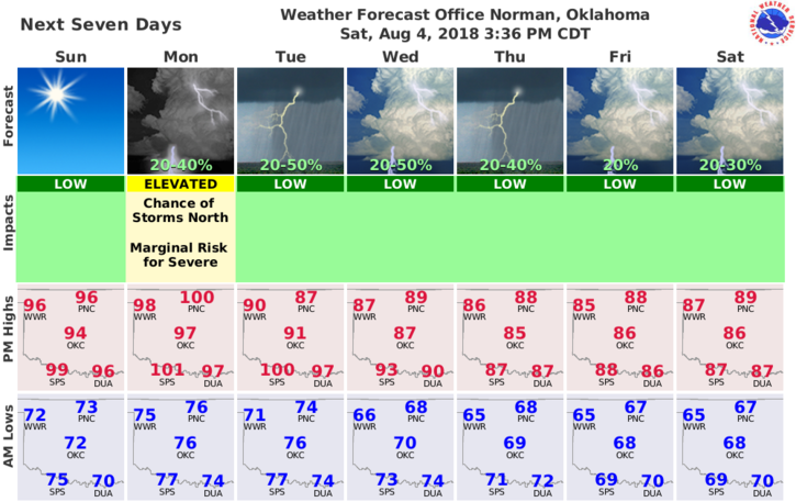
1-It’s going to be hot for several days with temps in the mid to upper 90’s and then a cold front will move through the area bringing high temps down into the upper 80’s.
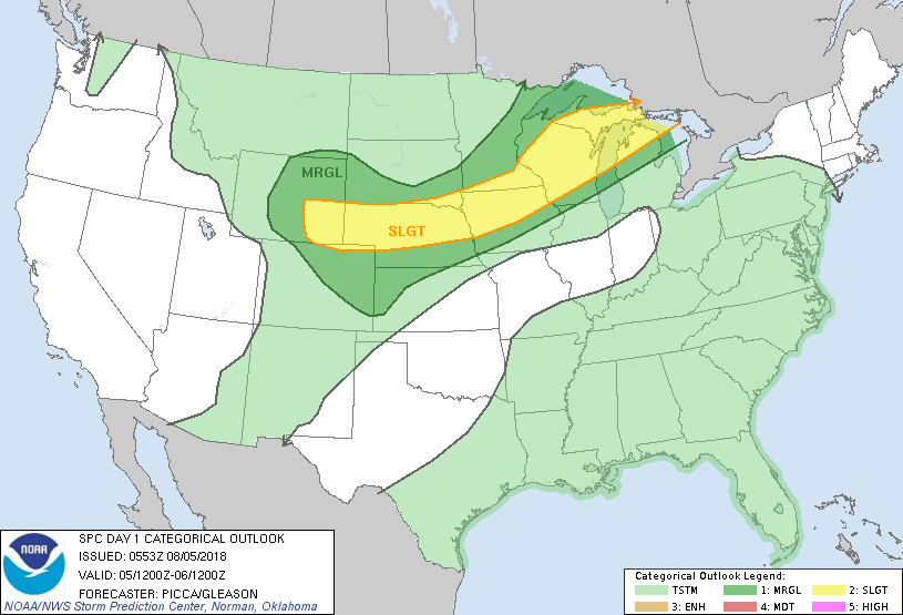
2-Rain chances go up some but our best chance for rain will occur late Monday into Tuesday. After that, enjoy the lower temps.
3- Remember your HEAT SAFETY TIPS and don’t overdo it out there. Pace yourself.
4- Here is your forecast from the NWS/NORMAN;
Sunday-Sunny. Highs in the upper 90s. South winds 10 to 15 mph.
Sunday Night-Mostly clear. Lows in the mid 70s. South winds 10 to 15 mph.
HAVE A GREAT DAY!!
MIKE