0430L-MONDAY UPDATE FROM ENID/GARFIELD COUNTY EMERGENCY MANAGEMENT-8/6/18
1-HOT TODAY, SIMILAR TO YESTERDAY BUT WITH STRONGER WINDS. RAIN “CHANCES”, STARTING TONIGHT.
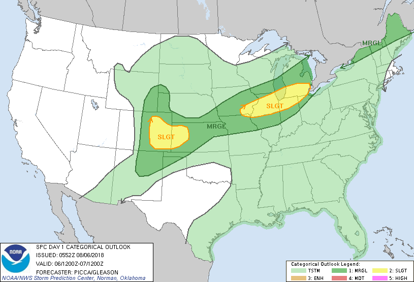
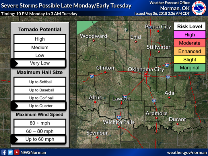
2-IF rain occurs; expect heavy rainfall and strong wind gusts. We are in a General Risk area for severe weather later today and tonight. We will be dealing with a cold front so after it comes through, you’ll notice cooler temps which will be nice for this time of year.
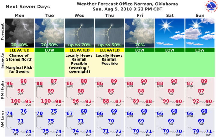
3- Here is your forecast from the NWS/NORMAN;
Today-Sunny and hot, with a high near 98. South wind 13 to 20 mph, with gusts as high as 28 mph.
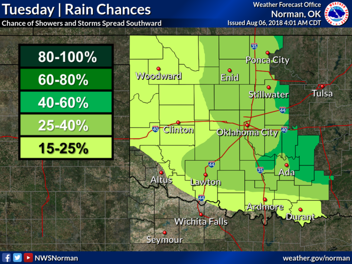
Tonight-30 percent chance of showers and thunderstorms after 1am. Increasing clouds, with a low around 74. South wind 8 to 15 mph, with gusts as high as 21 mph.
HAVE A SUPER DAY!!
MIKE