0346L-SUNDAY UPDATE FROM GARFIELD COUNTY EMERGENCY MANAGEMENT-1/28/18
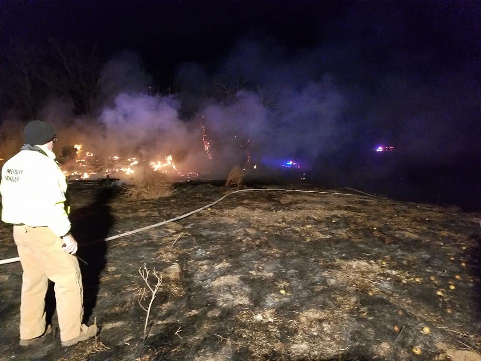
Been out on a structure/grass fire since 0100L so this will be short and sweet. Thanks to LAHOMA, HILLSDALE-CARRIER, and KREMLIN for a super effort. Thanks Rusty for the pics
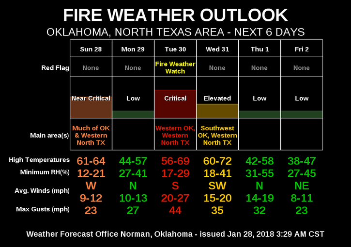
A cold front is expected tonight and it will drop temps quite a bit for Monday. During the day today, expect fairly calm winds then about mid-afternoon, expect WSW winds 5-15 mph gusting to 20 mph. When the front pushes through “roughly” between 6-9 pm, winds will shift out of the NW at 5-15 mph for a while then calm down some.
Overall, a nice day so get out and enjoy. Here is your forecast from the NWS/NORMAN;
Sunday-Sunny, with a high near 60. Southwest wind 5 to 15 mph, with gusts as high as 21 mph.
Sunday Night-Clear, with a low around 25. West wind 7 to 15 mph becoming north in the evening. Winds could gust as high as 21 mph.
HAVE A SUPER DAY!!
MIKE