0335L-SUNDAY OUTLOOK AND INFO FROM GARFIELD COUNTY EMERGENCY MGMT-1/5/2020
1- GARFIELD COUNTY EM. This is our notification app. You’re not prepared without it!
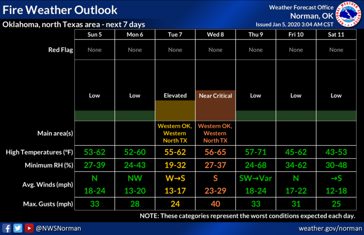
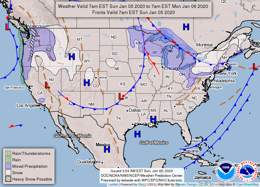
2- A COLD FRONT will push into the area this morning bringing with it strong winds. This front will bring in dryer air along with lower humidity and dew point temps. This may increase the fire danger a little this afternoon but the winds will eventually lie down later today lessening this problem. Overall, we’ll be ok but keep your eyes peeled for smoke and fire and call 911 if needed. Another system pushes in again tomorrow but only with a windshift.
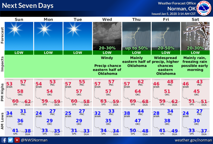
3- Keeping this short and sweet, here is your forecast from the NWS/NORMAN;
Sunday- Sunny with a high near 53. North winds 10 to 20 mph gusting to 25 mph or so.
Sunday Night-Mostly clear with a low around 26. North-northeast wind 5 to 10 mph.
HAVE A GOOD DAY!!
MIKE