SUNDAY WEATHER UPDATE-0420L-FROM GARFIELD COUNTY EMERGENCY MANAGEMENT
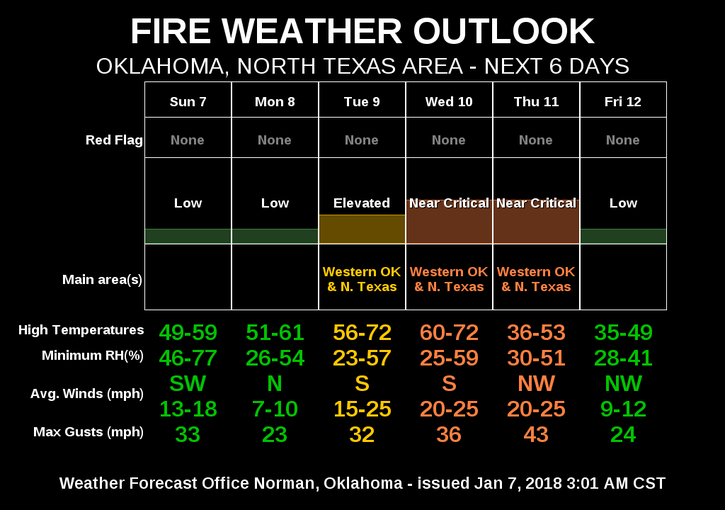
“RAIN” is a strong possibility here this morning so hopefully we see some. Also, the FIRE DANGER is still around so be careful out there.
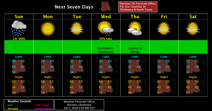
For the up and coming week, above normal temps possibly in the 60’s Monday through Wednesday. On Thursday, a cold front moves in and drops high temps into the 30’s for highs. This may change a little as forecasts verify.
Here is your forecast from the NWS/NORMAN;
Sunday-Rain possible mainly before noon. Highs near 50. South winds 10 to 20 mph becoming north northwest in the afternoon. Winds could gust as high as 25 mph. Chance of precipitation is 80%.
Sunday Night-Mostly clear with a low around 29. North northwest winds 10 to 15 mph, with gusts as high as 20 mph.
HAVE A GOOD DAY!
MIKE